Trekking the Larapinta - Day 13: Mt Sonder, and back to Alice Springs
Section 12: Mt Sonder
[Hike distance: 14.8km / 9.2mi]
2022-08-05
Online guides recommend leaving Redbank Gorge at 3am in order to observe the sunrise from Mt Sonder. The maps at the trail head listed the time to climb Mt Sonder as 3 hours. By now we knew that for us these times were conservative. So we could go later. But how much would it suck to walk all the way up a mountain to see the sunrise and find that you had missed it by 5 minutes? We compromised a bit and decided we would leave camp at 4am.
Around 3am the clear sounds of hiking parties started to float through camp. Chatter and footfalls. In our creek bed location we weren't on the primary path from the day tripper car park to the trail start point. So we probably missed most of it. But we were close to a secondary path used by through hikers.
Accordingly, we were all well awake by the time the alarm went off at 3:30am. As we didn't plan to tear down the camp up until we returned, we were soon organized and ready to leave. Frankly we were excited to finish the final challenge of this adventure. The hike began at 3:52am.
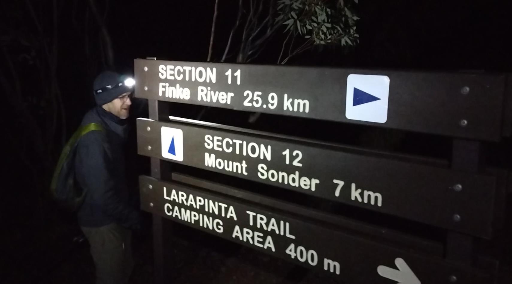
Phil at 4am. 7km to the summit.
Looking ahead up the mountain we could see several caterpillar-like arrays of head lamps. There were three tour groups, each of maybe 15-20 people ahead of us. It looked a bit like a Mt Everest traffic jam.
After 30 minutes of hard walking we had ascended the southern ridge flank and reached the spine of the mountain. Immediately the wind picked up. It was cold. Bone chillingly so. The solution for us was to pick up the pace. I did my best to stick to Fraser's heels. If my crappy chinesium head lamp died or ran flat I wanted to be able to follow his light, much as I had done leaving Serpentine Chalet Dam five days prior. Without light, climbing this track would be impossible.
An accurate depiction of the view hiking up Mt Sonder.
After an hour or so we caught the first tour group. They obligingly stepped off the track to let us pass. Soon we passed the second and third groups. Brief hellos and apologies as we skated by. We were travelling a good deal faster than them. Not surprising as they would have to go at the pace of their slowest members. And there were some elderly looking people present.
I had some respect for these day hikers. There was nothing easy about what they were doing. Yes, their guides carried a thermos of hot chocolate for them (that would have been nice), and a Tim Tam or two. But Mt Sonder doesn't walk itself. Ultimately each punter had to drag themselves up and down the mountain. And they didn't have the benefit of being battle-hardened by two weeks of non-stop hiking through similar conditions. To roll out of a nice warm hotel bed and then step into that cold, windy, steep, rocky shit-fight is no small ask.
The thought did occur that their experienced guides would be timing their summit to within a few minutes of the sunrise. No point having their people hanging around the dark summit in freezing temperatures.
Should we also decrease our speed and/or seek a wind sheltered corner to wait out the blackness?
Stuff it. In for a penny, in for a pound. We were impatient to get this over and done with. After all we had endured to this point one last gale swept and freezing mountain top seemed neither here nor there.
In the inky blackness there was no real way of visually checking our progress. We lost the path once or twice but quickly regained it. The familiar blue triangle trail markers passed at reassuringly frequent intervals. On our very first day on the trail an older female hiker (one of the "cock-a-doodle-doo" crowd) had warned us of sharp drop offs along the path up Sonder. As we hiked the lamp light gave glimpses of abrupt black voids beside us. I wondered if we were skirting giant cliff faces. She had said she was glad it was too dark to see them on the way up. Of course, this was a woman who also warned us to close the dunny doors at the trail heads lest a dingo follows you in...
At approximately 5:40am (1hr 50 min walking) it was apparent that we were closing on the summit. The slope moderated and the wind died down substantially. It seemed odd, but somehow the mountain top was protected from the worst wind, and consequently the apparent temperature rose considerably. Ten minutes later we reached the summit, joining three hikers already present.
It was 5:50am. We'd done the three hour walk in two. We had over an hour to wait until sunrise. Should have slept in.
The others had already donned their puffers on the way up. I was quick to do so at the summit, and to wrap my shemagh around my head.
Slowly over the next hour we were joined by hikers and tour group members. It became pretty crowded really. Given the relative solitude we'd enjoyed over the past two weeks it was a bit exciting to be in proximity with so many. More exciting that the sunrise anyway. To be truthful we were not there for the sunrise. We knew full well that this sunrise would be no more compelling than those we had seen from Loretta's Lookout, or Brinkley Bluff. We were there to complete our trail odyssey. At this point the sunrise was just one of the final unchecked boxes on our trail to-do list. We were impatient to be done.
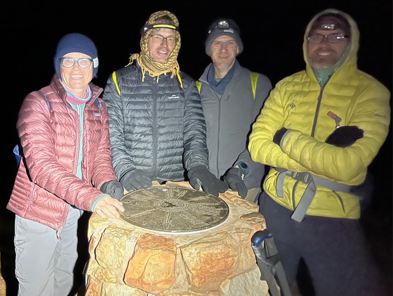
At the Sonder summit marker.
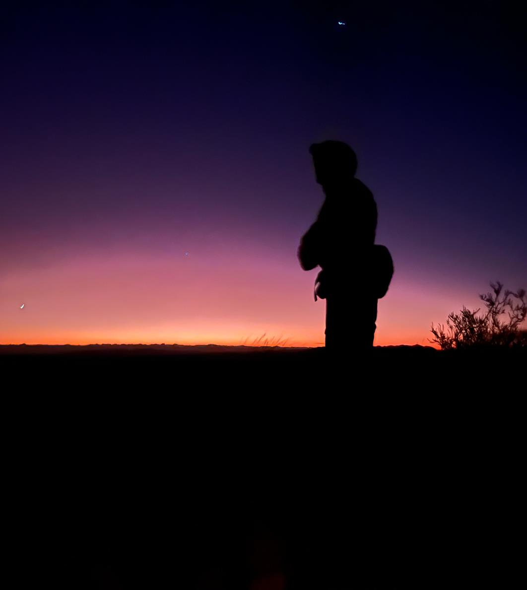
Fraser in the pre-dawn eastern glow.
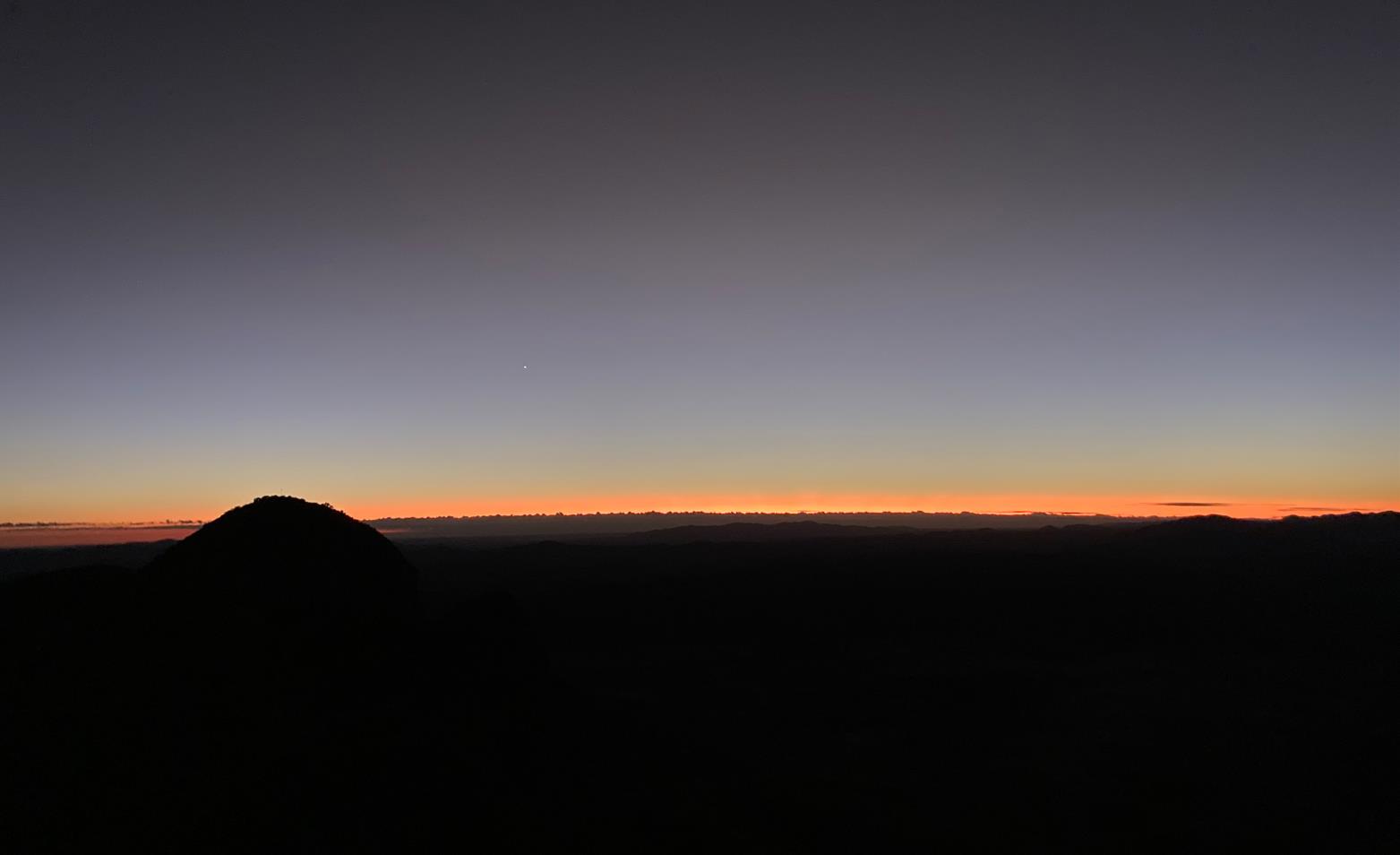
Pre-dawn. Looking east from the summit.
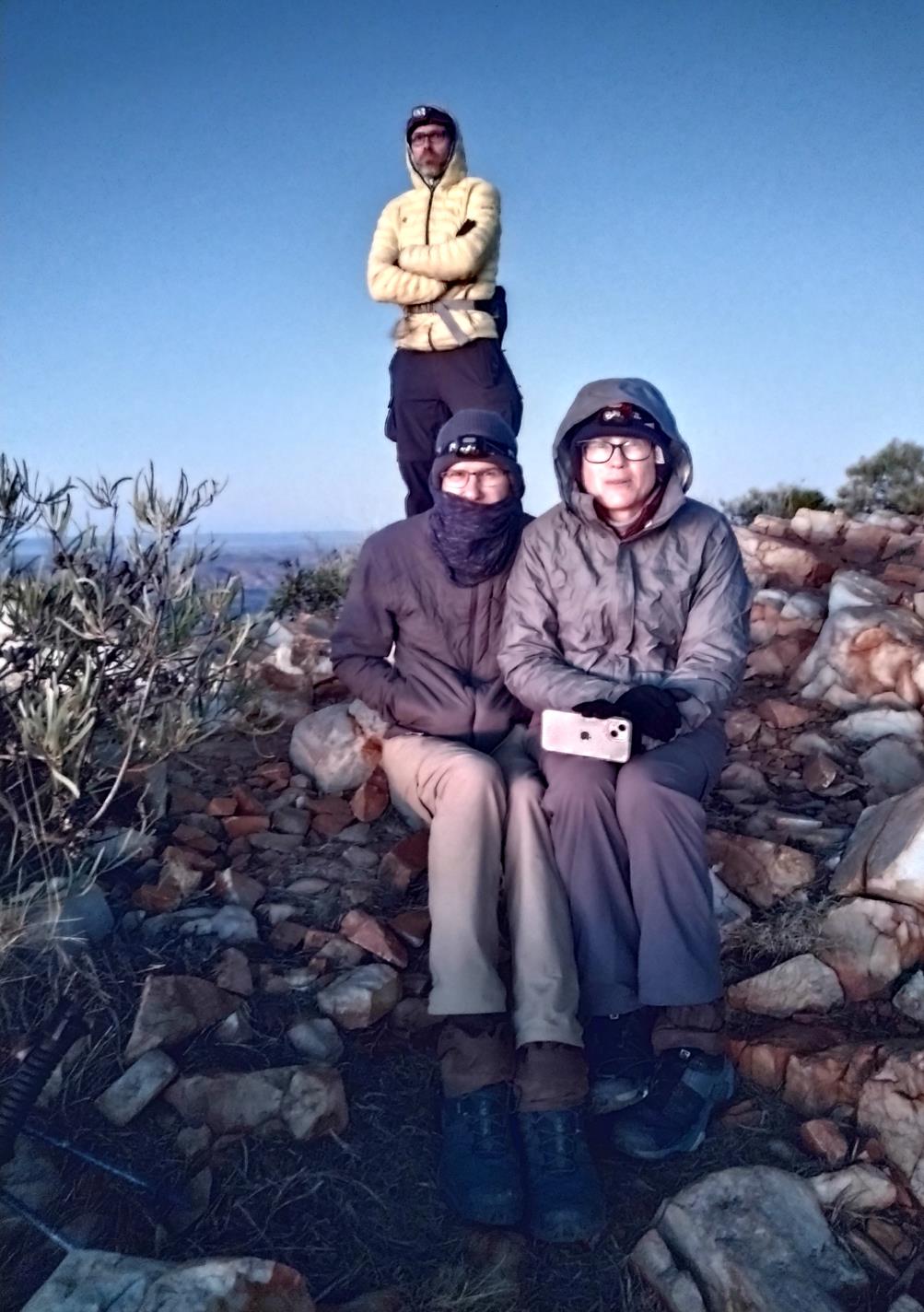
C'mon sun. We're cold already...
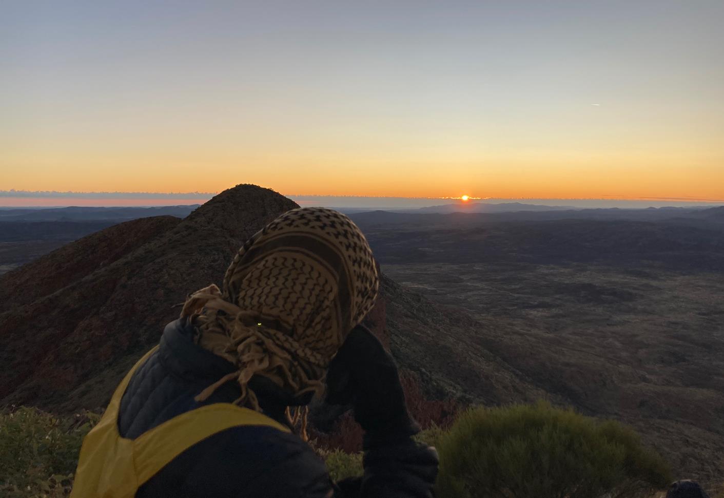
My shemagh valiantly keeping my head warm. Versatile bit of kit that.
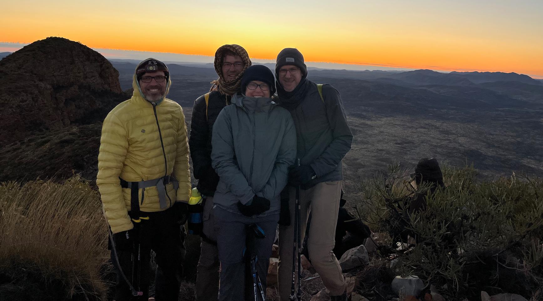
Smile!

Sunrise panorama.
No sooner had the sun broken the horizon that Phill announced "Right, I'm off". I probably could have hung around a bit longer to savor the view, but this was a team adventure. It was not common for Phil to lead out a walk or push the schedule, he is normally a go-along-to-get-along type hiker. If he'd had a gut-full of Sonder's summit, then it was definitely time to bid the place farewell.
Consequently, we found ourselves the first to start descending (7:20am), and we were soon alone on the long windswept ridge back down Sonder. Good thing really, it saved having to pass yet again the slow paced hordes.
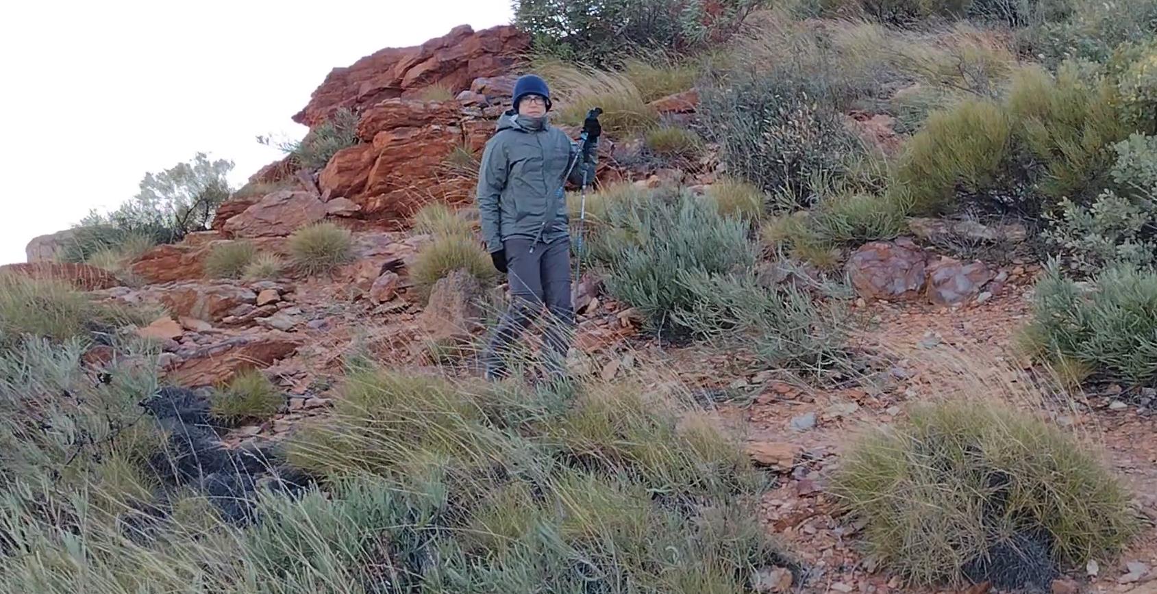
Elise on the descent.
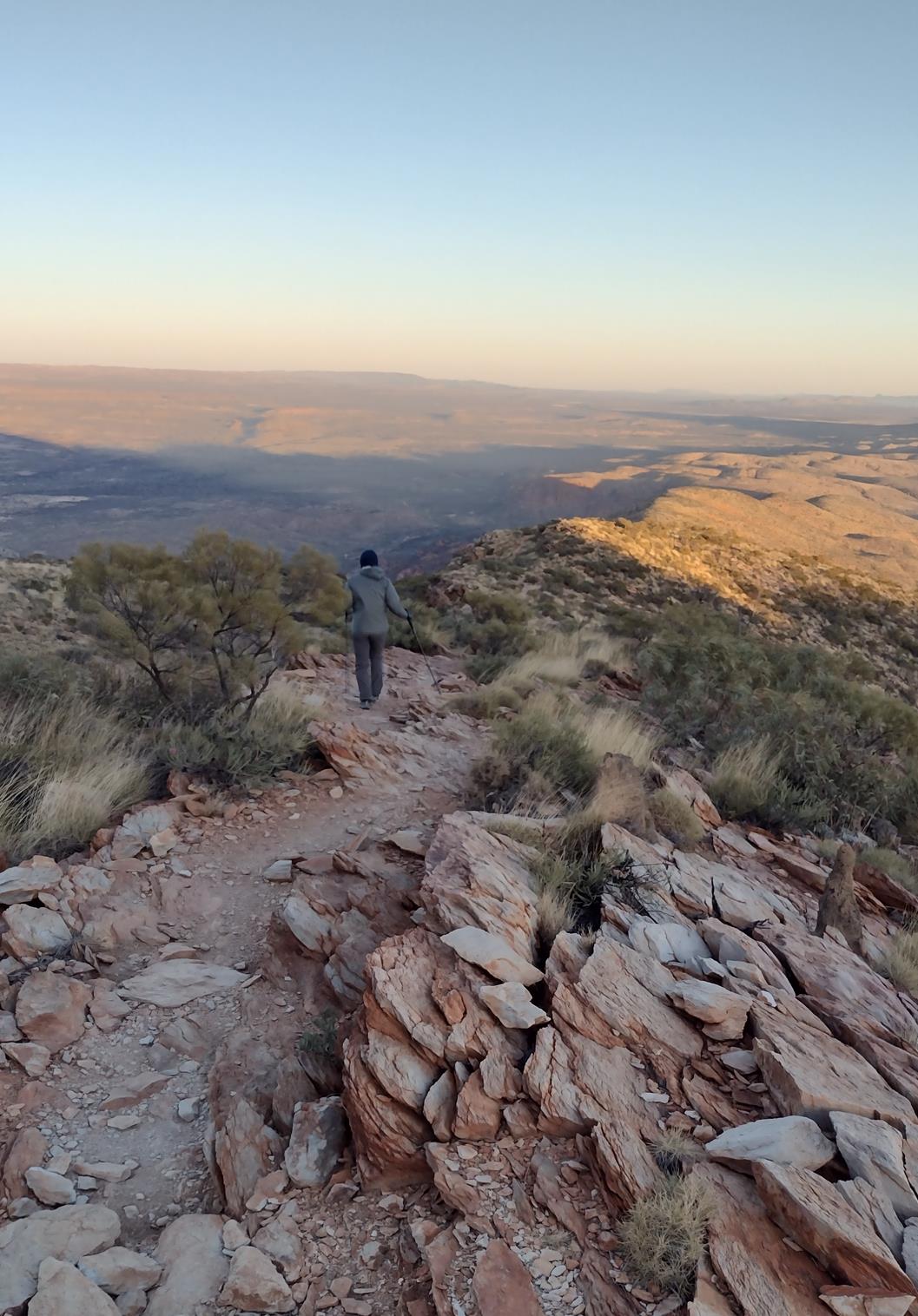
Elise on the descent.
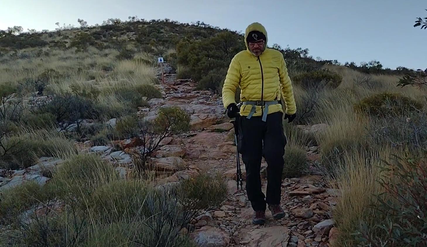
Fraser on the descent.
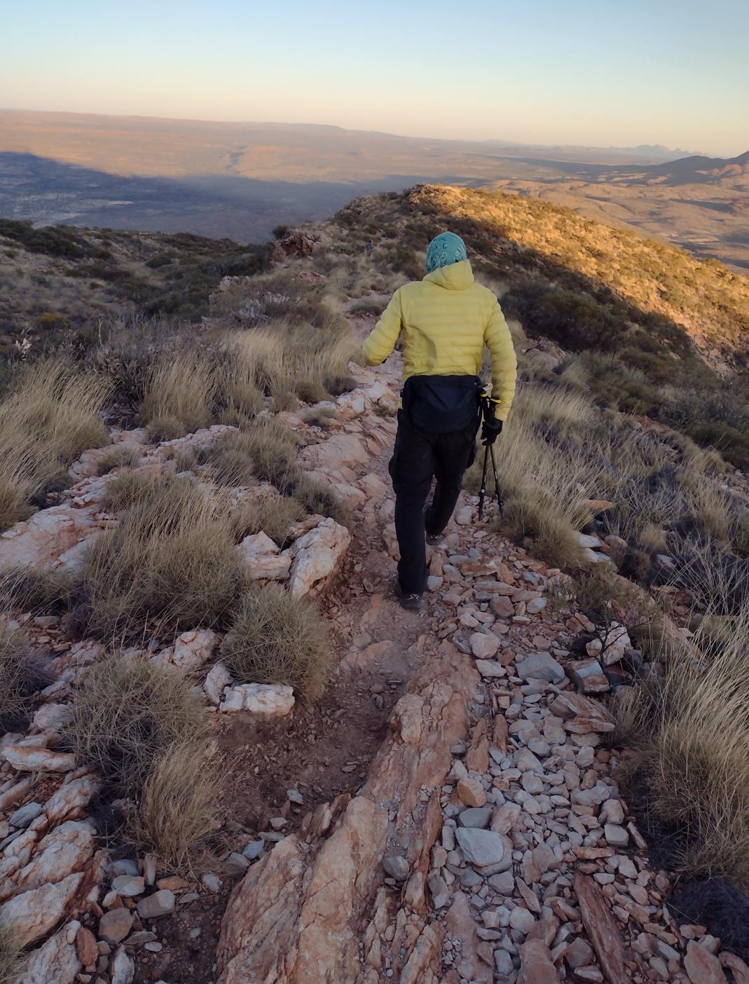
Fraser on the descent.
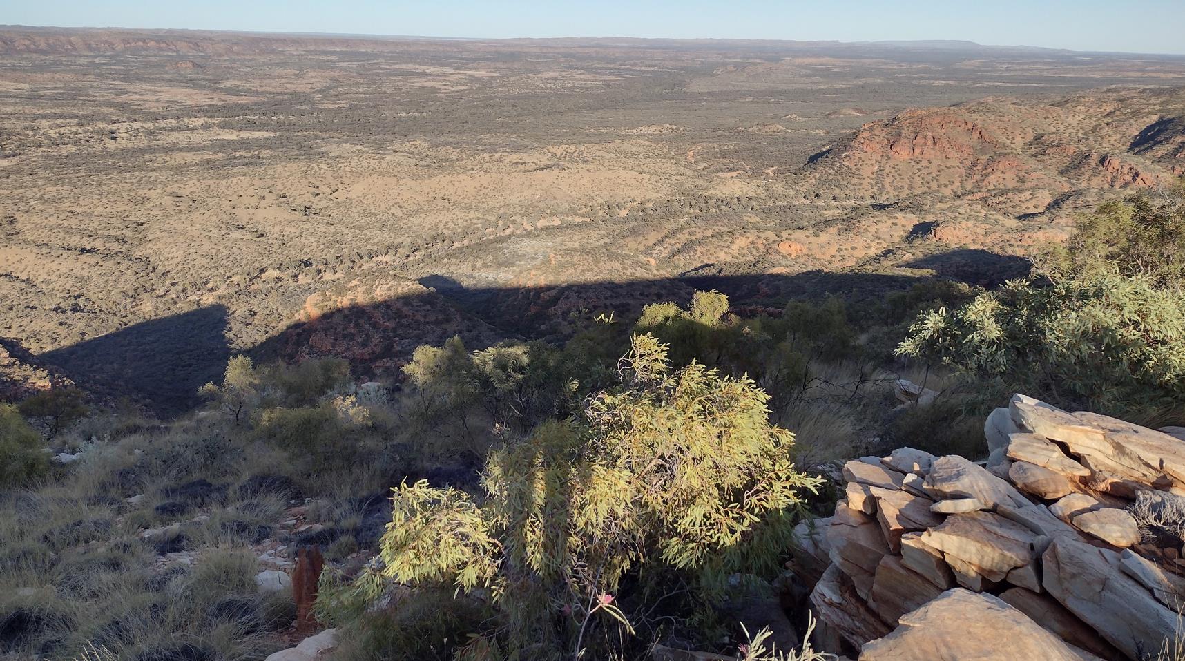
The view south from the spine of Sonder.
The soft light of morning revealed that the threat of precipitous cliffs lining the trail was much overblown. Yes, you probably could fall some distance if you were determined to, but you'd have to be really trying. Yet again I was reminded that the perceptions of other hikers regarding certain aspects of the trail (good or bad) were not always synchronized with my own.
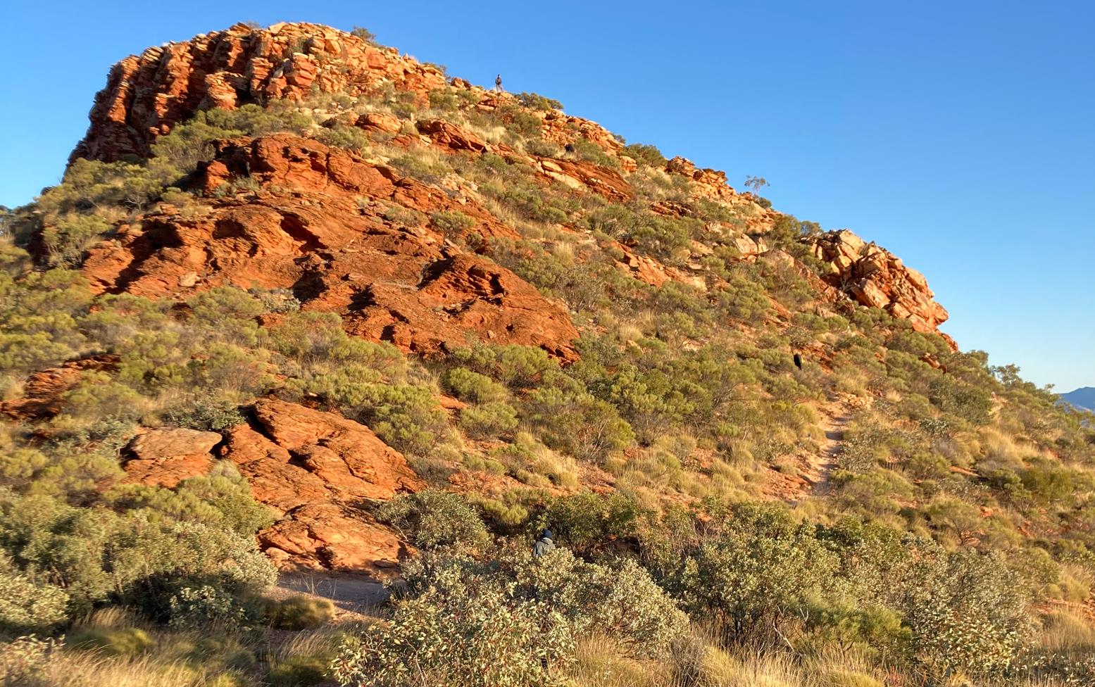
*Of course* it's not all downhill descending Sonder. Phil waiting at the top of this ridge back knoll as we walk the mountain spine.
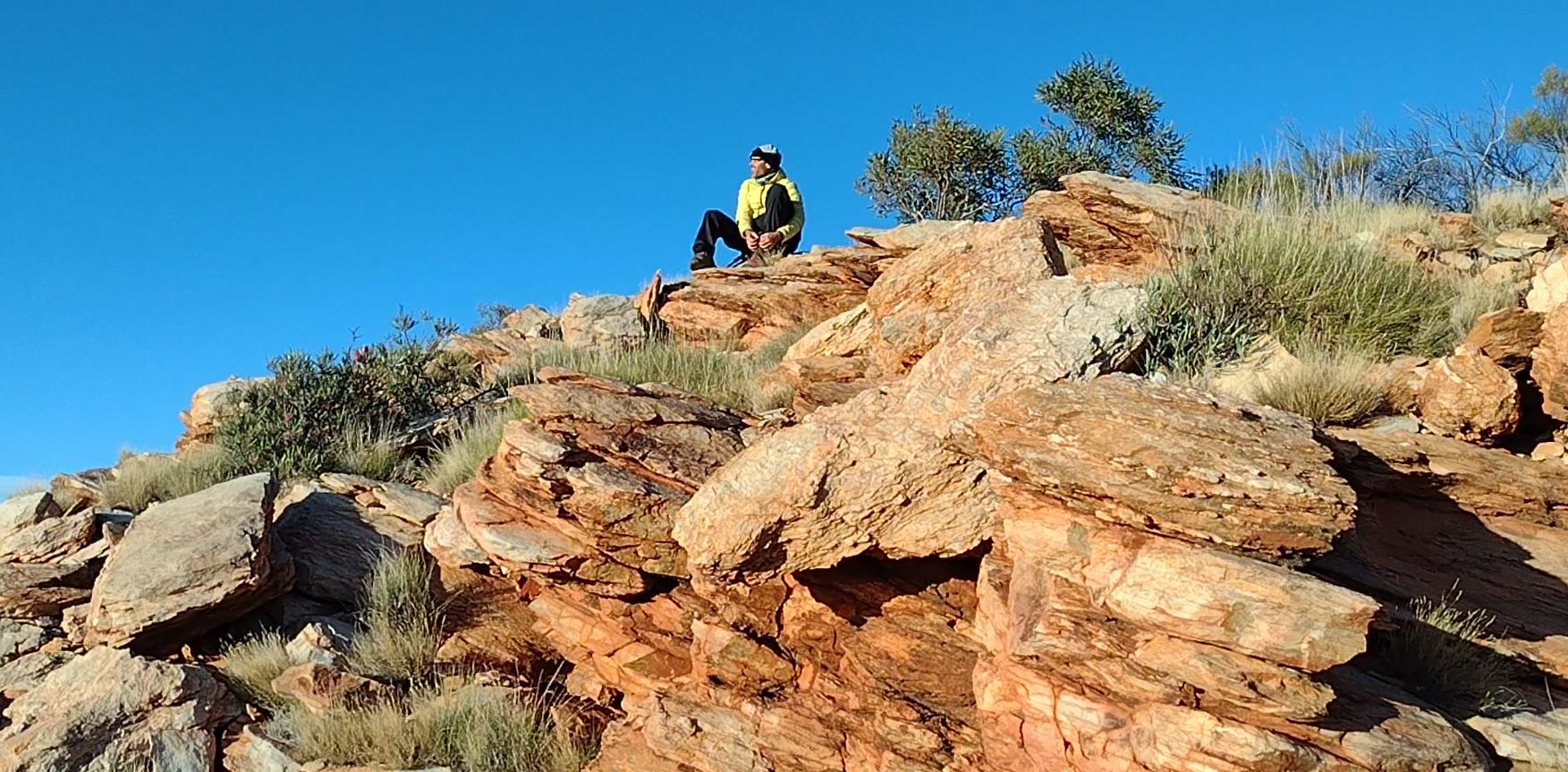
Fraser removing some gravel from a boot while he looks back towards the summit of Sonder.
Two hours later we were back in our creek bed camp (9:20am).
Done. No more Larapinta for us.
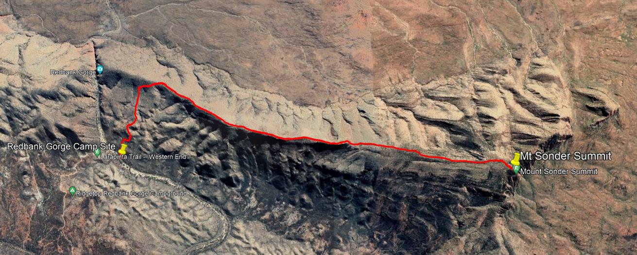
Mt Sonder track.
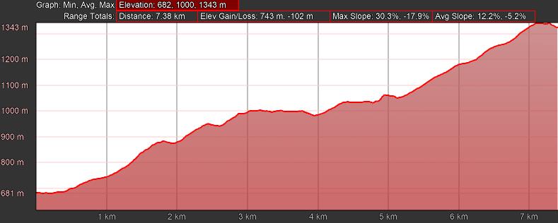
Mt Sonder track profile.
Back to Alice
Our ride home was slated to depart at 11am. By 10am we were fully packed and ensconced under a picnic shelter in the Redbank Gorge car park. A leisurely meal cleaned up our remaining food items.
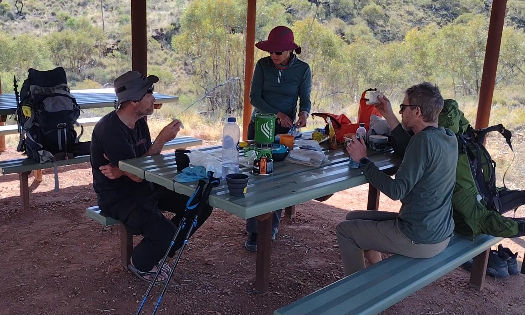
Our last lunch on the trail. Waiting for the bus at Redbank Gorge.
The pickup bus does double duty dropping off new West-To-East hikers. Half a dozen tumbled out of the van when it arrived and quickly disappeared in the direction of the trail shelter, rightly eager to dive in to the adventure. Their sparkly new sheen clashed against our disheveled exhaustion. I watched them go with some measure of both pity and envy. I would not have traded places with any of them. I was done, and ready to be home. I felt nothing but relief and happiness as we loaded up and the van pulled away from the parking lot.
I would later try to remember when the last time was that I had not ridden in a vehicle a full two weeks. I couldn't. It was an odd feeling to be sitting motionless while the countryside flies away beside you. We would now cover in an hour the same distance that had just taken us a week. It is a deflating thought. However as the journey progressed and we watched the various recognizable landmarks speed by, I was more struck by how long it seemed to take to drive from one to the next. Like The Plodder we had turtled our way across this hard landscape. Hiking is not fast, but if you put together enough days of it the kilometers can't help but accumulate. They say the trail is 220-230km. Our GPS logs indicated a total of 265km hiked. What an odyssey.
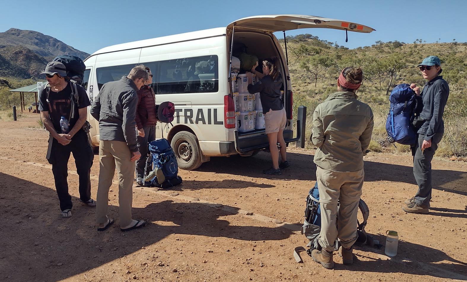
Waiting for the bus. Sonder at top left.
The drive back to Alice probably took 3 hours. We made a couple of stops to deliver drop boxes. A relaxing 20-30 min were spent at the Ormiston Kiosk enjoying a welcome milkshake. Finally we dismounted at our hotel in Alice.
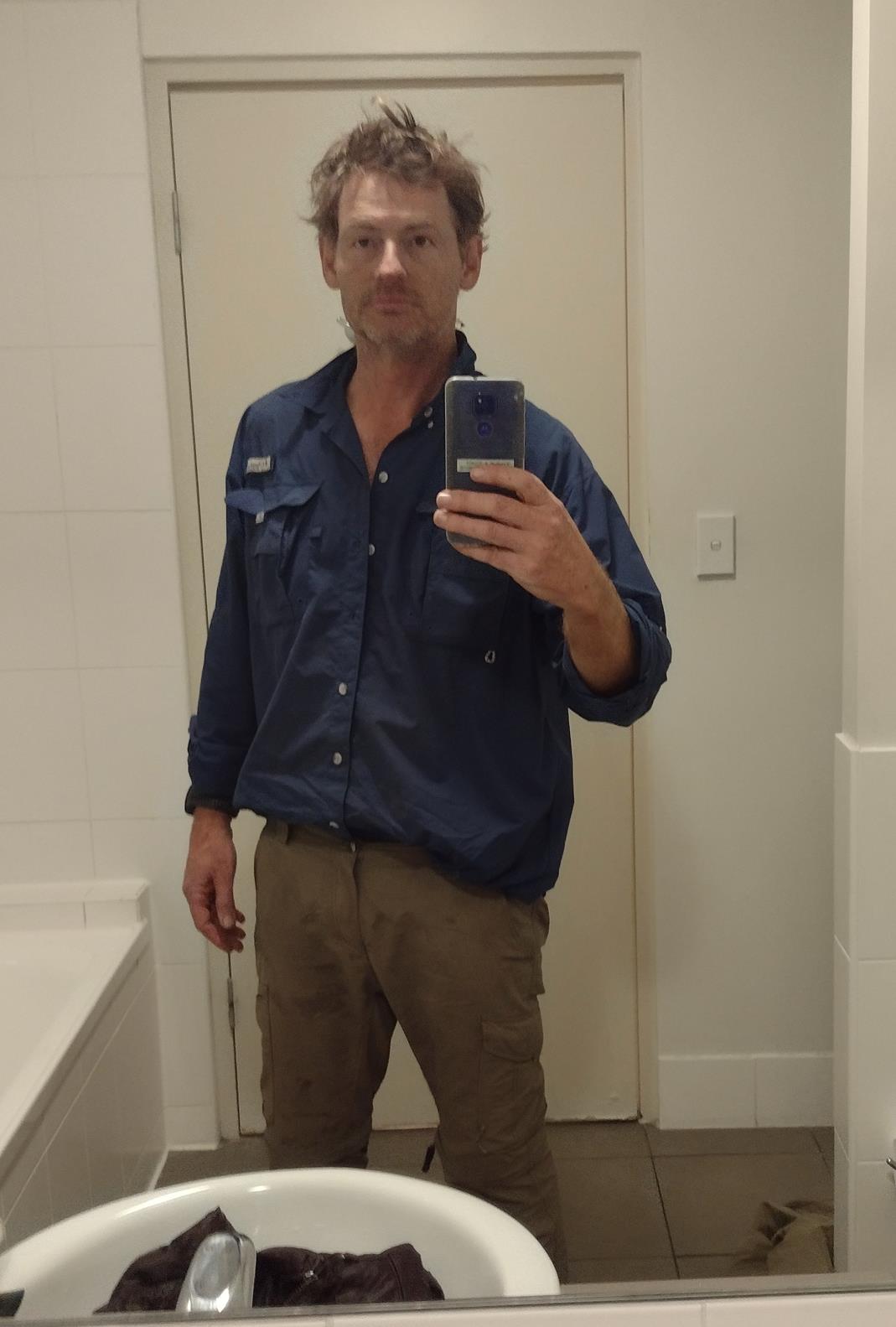
Hotel bathroom selfie. Two weeks without a shower, or a change of clothes. Filthy. Disheveled. Gaunt.
Showers. Clean clothes. A nice dinner in Alice. A real bed to sleep in.
Tomorrow we had flights to catch and lives to return to. Tonight we were simply happy to be in the moment. Relieved to be finished. Gently allowing the trail trauma to subside and equilibrate with regular life. Magic.
- Prologue
- Day 1: Alice Springs to Wallaby Gap
- Day 2: Wallaby Gap to Bond Gap
- Day 3: Bond Gap to Loretta's Lookout
- Day 4: Loretta's Lookout to Brinkley Bluff
- Day 5: Brinkley Bluff to Hugh Junction
- Day 6: Hugh Junction to Rocky Gully
- Day 7: Rocky Gully to Serpentine Gorge
- Day 8: Serpentine Gorge to Serpentine Chalet Dam
- Day 9: Serpentine Chalet Dam to Ormiston Gorge
- Day 10: Ormiston Gorge to Finke River
- Day 11: Finke River to Rocky Bar Gap
- Day 12: Rocky Bar Gap to Redbank Gorge
- Day 13: Mt Sonder, and back to Alice Springs
- Epilogue