Trekking the Larapinta - Day 9: Serpentine Chalet Dam to Ormiston Gorge
Section 9: Serpentine Chalet Dam to Ormiston Gorge
[Hike distance: 30.2km / 18.8mi]
2022-08-01
There was plenty of activity in the camp early. As in, 4am early. It seems the school group was getting a very early start. Evidently they had been well organized as there was not much talking. Just lights and packing noise. Within 20-30 min they were gone and it had settled down a bit. Appreciatively, I snuggled deeper into my sleeping bag and contentedly readied for another hour or so of sleep. I should have known better.
"What's the time Rooster?"
Shit, why was he asking that?
"4:50"
Voooshhh. The unmistakable sound of pressurized air leaving a mattress when you don't bother to roll off before pulling the plug.
Crap. Already?
"BAAAARRRRP!" The deep, throaty, fart reverberated through the camp like a truck horn, echoing off the rock walls of the overhanging gorge.
Right. The die is cast then. I guess we really are getting up. If only to get the hell out of Dodge before the sun comes up and we can be visually identified.
Elise and Phil grumbled a bit but were soon up and packing.
I thought we might redeem ourselves a bit by slinking quietly away into the blackness. I was mistaken.
"LEFT! NO. THE OTHER LEFT! YEP. THROUGH THERE. THAT'S RIGHT!
Oh dear. The Plodder (who had slept under the trail head shelter and been woken early by the school kids) was leaving camp and had gotten lost in the dark trying to find the trail. Apparently Elise, like my wife, can't bear to see a soul in distress. Not for them my "Fuck 'em, they'll figure it out" approach. It would seem you don't get to keep your "Patron Saint of Lost Puppies" card if you act like that. Accordingly, Elise was issuing instructions guiding her back to the trail and on her merry way. And to be fair, she tried to be quiet. It was kind of a whisper, except yelled. There is only so quiet you can be when you are trying carry a message 50 meters.
Christ. Now can we leave?
Nope. We had to have breakfast didn't we.
Things had come full circle. We were now the same appallingly inconsiderate neighbors we had encountered at our first camp. Much as Fraser had prophesized back on day 2, we had pretty much run out of fucks to give. Such is life on the trail. I'm not proud of it.
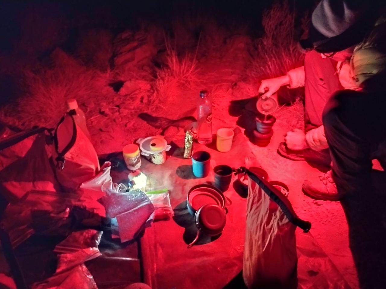
Breakfast preparations in the dark. 5:40am.
We eventually filed out of camp sometime just after 6am. Our first 'night hike'. I stuck close on Fraser's heels as I didn't really trust my headlamp. For the next hour or so I saw little but the rocks and dirt of the upcoming few meters of trail.
It was close to 7am and the sun just rising as we reached Inalarga Pass. After reading the brief history spiel on a sign board at the entrance we advanced to a point about 150m past the entrance. Here we decided to down packs, take stock, and brew a hot drink. By this time it was well and truly light.
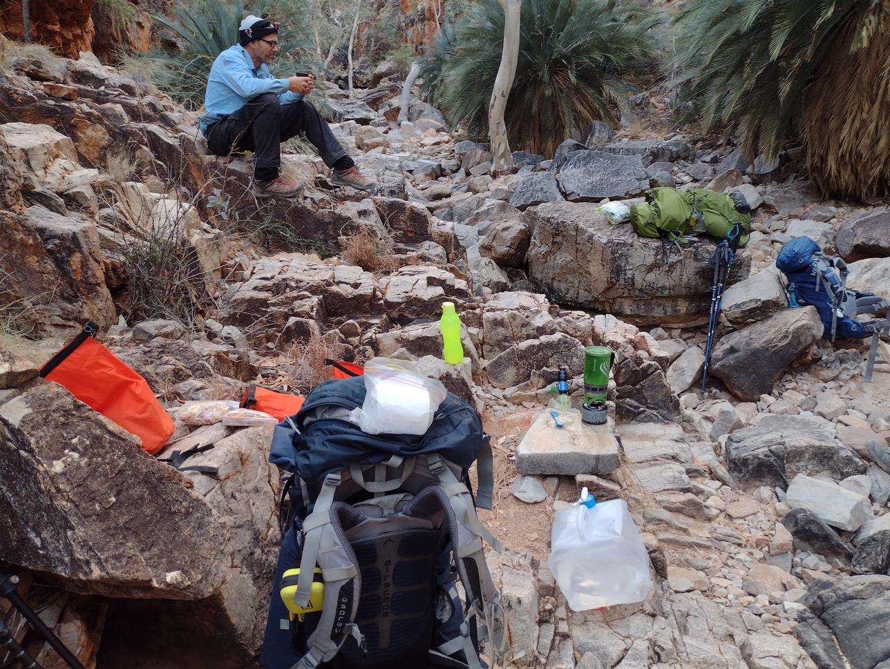
Boulders nicely sized for benches and tables. Fraser still with headlamp on.
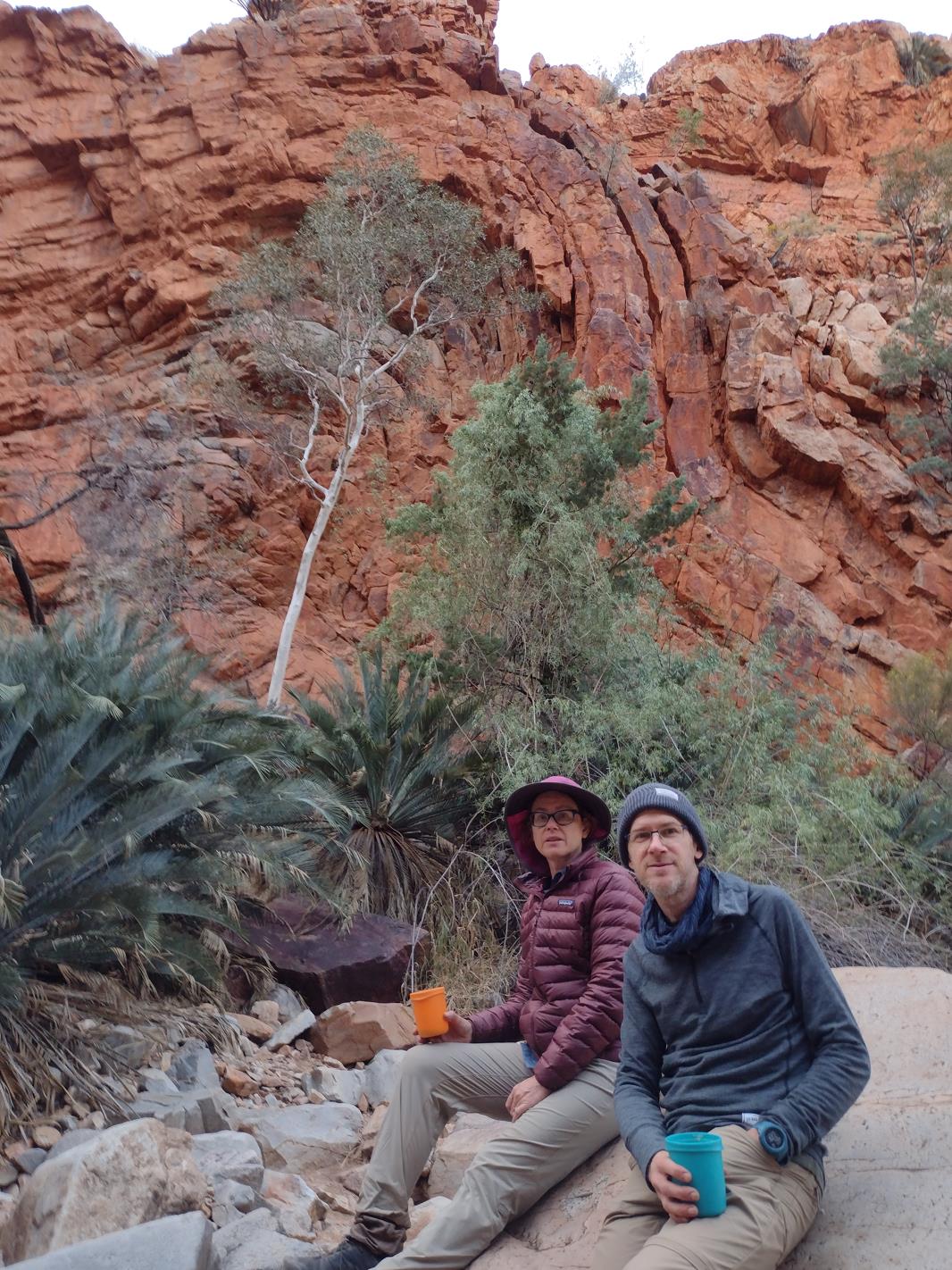
Fingerprints of the mind boggling geologic processes involved in the formation of these ranges in the gorge walls behind Elise and Phil.
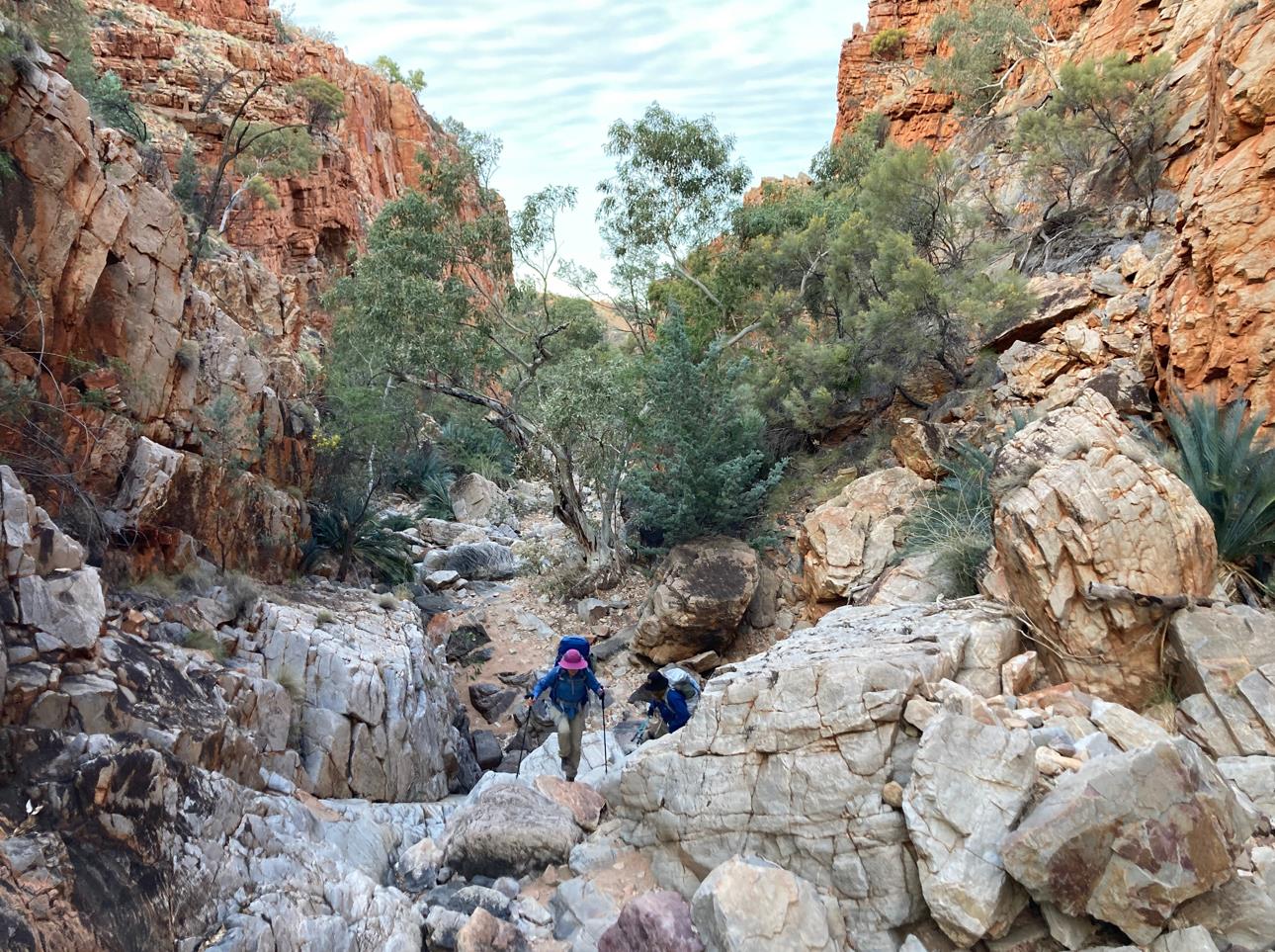
After a 30min break we forged on, reaching the north end of the pass around 8am. The path turned left (west) and we found ourselves in a wide open valley with ranges hemming us on both the north and south. The trail held this course for just over 8km. It was enjoyable morning hiking as we slowly ascended and descended irregular valley saddles. To both our left and right the ranges were punctuated by interesting looking gorges. No trails leading to them were apparent, but it would not have been a stretch to blaze your own path. Another time perhaps...
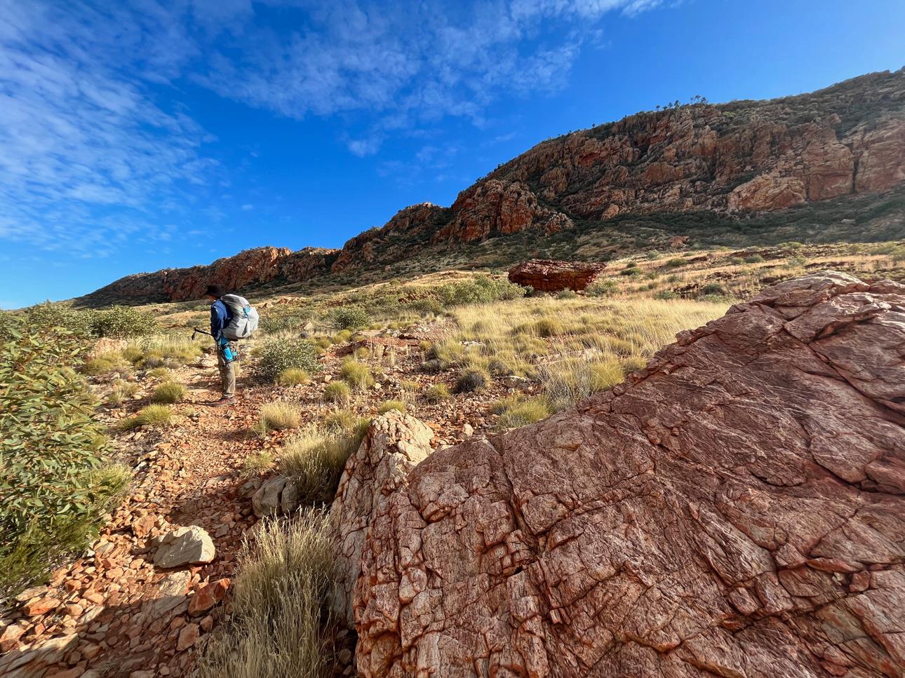
Blue sky. Wild rocky ridges.
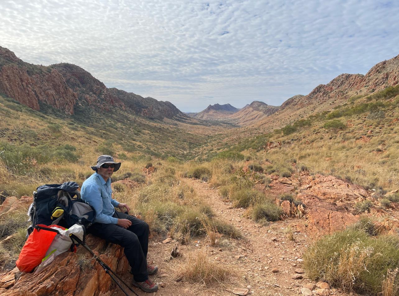
Resting at the highest saddle on our morning trek. Inalarga way back to the right somewhere.
Out ahead of my team, I caught sight of The Plodder. Slowly I gained on her. Just as I caught her up I felt water dripping down the back of my leg. It was a sensation I knew from a few months previously when a milk bottle I was using as a training weight split along a seam. It's not a good feeling. As we talked I removed my pack to see what was going on.
She mentioned how she had left camp in the dark after being woken early.
"It was dark when I went through Inalarga Pass, I could really feel the spirits there."
Spirits? Really.
Personally I prefer my spirits like my genies. In bottles.
I must have had a lost-for-words look on my face, because she abruptly gathered herself and set off once more. We were not to catch her again that day until we reached the trail head at Ormiston Gorge.
I emptied my pack and was both confused and relieved to find an entirely intact water bladder. It turned out my holstered 1L bottle's lid had not been securely fastened. I had lost almost no water. Relief.
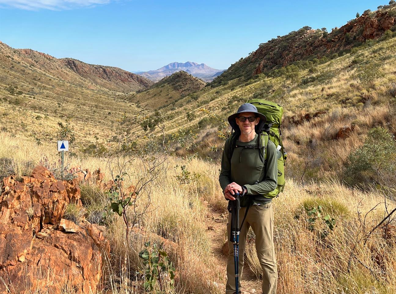
Phil with Mt Sonder in the far background. We would turn right and drop down to Waterfall Gorge shortly after this point.
At 10:45am the trail dog legged north and we began to descend through a cutting in the ridge to our right. Within 350m we found ourselves at Waterfall Gorge.
While Fraser disappeared to explore a cave he had seen on the way in, I stripped off my socks and gratefully dipped my feet into the small pond. Frigid but soothing. Soon the others joined me. We whiled away an agreeable 35 minutes here watching the finches and spinifex pigeons flitter across the rocks, periodically darting down to skim the water.
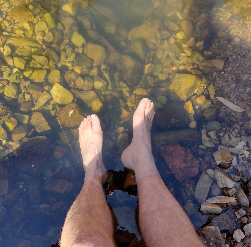
Sweet relief.
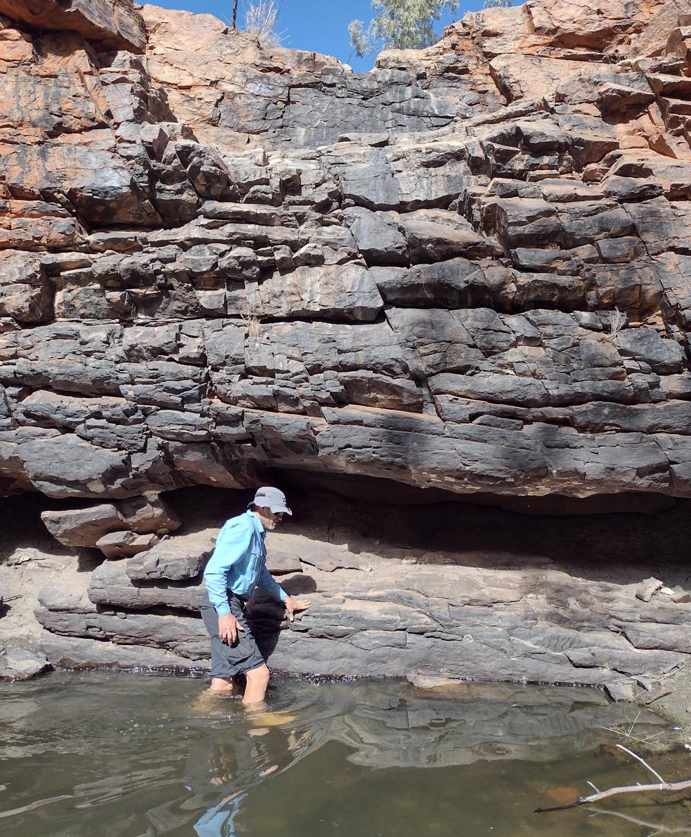
Searching out a rock to sit on.
Waterfall Gorge was a nice break, but the Larapinta doesn't hike itself. We knew we had a climb ahead of us. Next stop Mt Giles Lookout. As the crow flies less than 1km away but still 200m above our heads. At 11:40 we donned boots and packs and marched 800m west along the gorge bottom before abruptly turning right and beginning the ascent. The switchbacks were demanding, with an average slope of 20%.
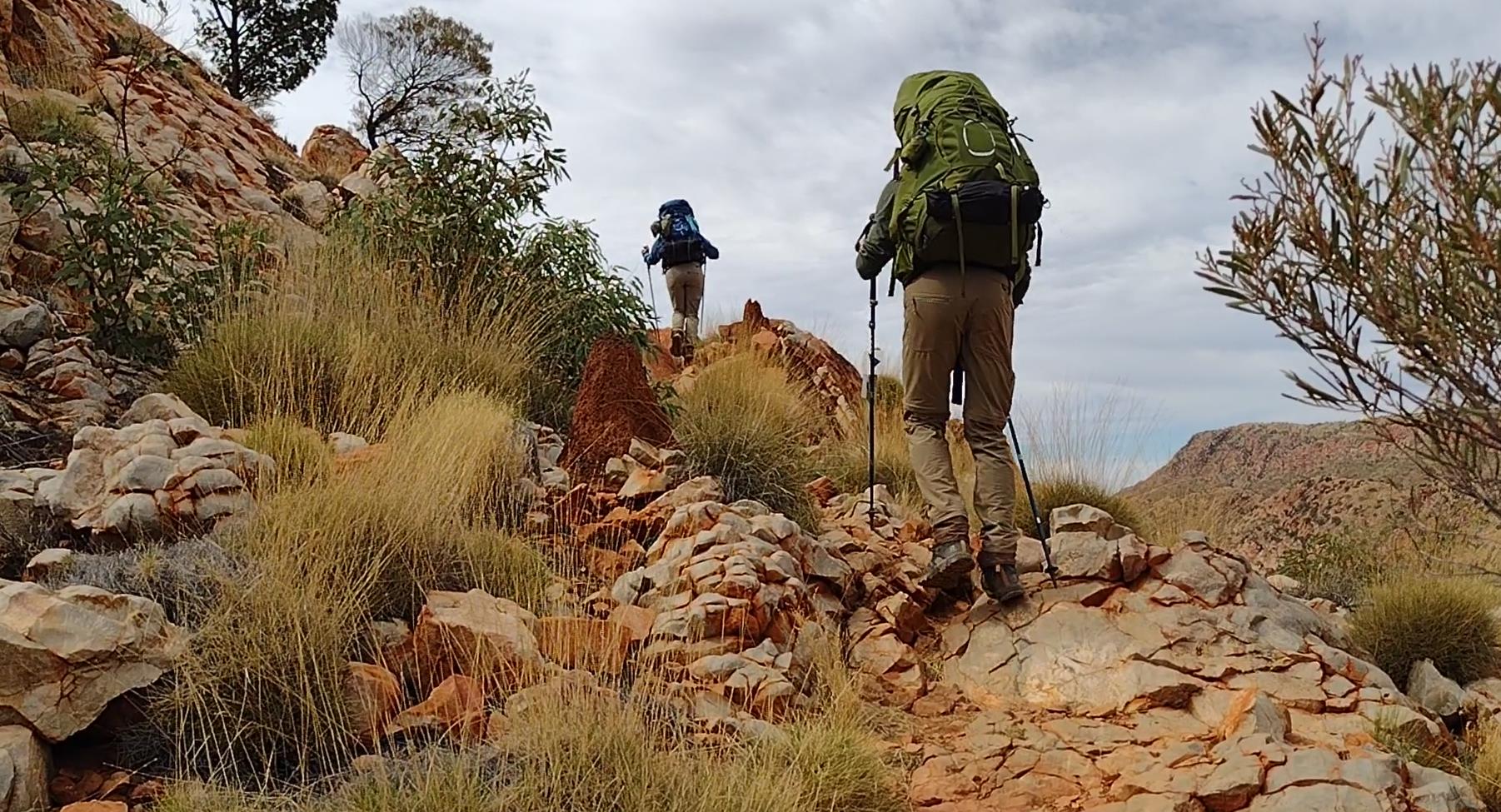
Phil and Elise ahead of me, methodically trudging up the lower switchbacks.
Just before 12:30pm I finally summited the western end of the ridge to arrive at Mt Giles Lookout. Fraser had already found a small shading shrub, assembled his Helinox, and was looking very much at home, drinking in the panoramic view of Mt Giles. Elise and Phil were close on my heels.
Lunch!
Quickly we strung a tarp from a stunted looking eucalypt. In my exhaustion I failed to notice the bush was covered in protective meat ants skirmishing forth from a large nest at it's base. The savage bites across my arms and neck soon got my attention. My fatigue helped dull the pain. In a relative sense the increase in total discomfort was not that great. I brushed them away as best I could and continued attaching the ropes (albeit a little more circumspectly).
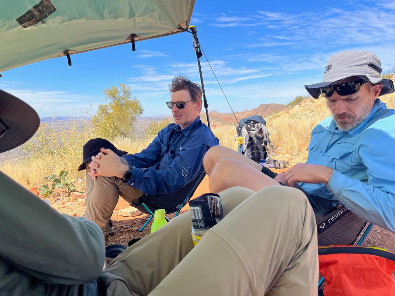
Packed in under the shade of the tarp at Mt Giles Lookout.
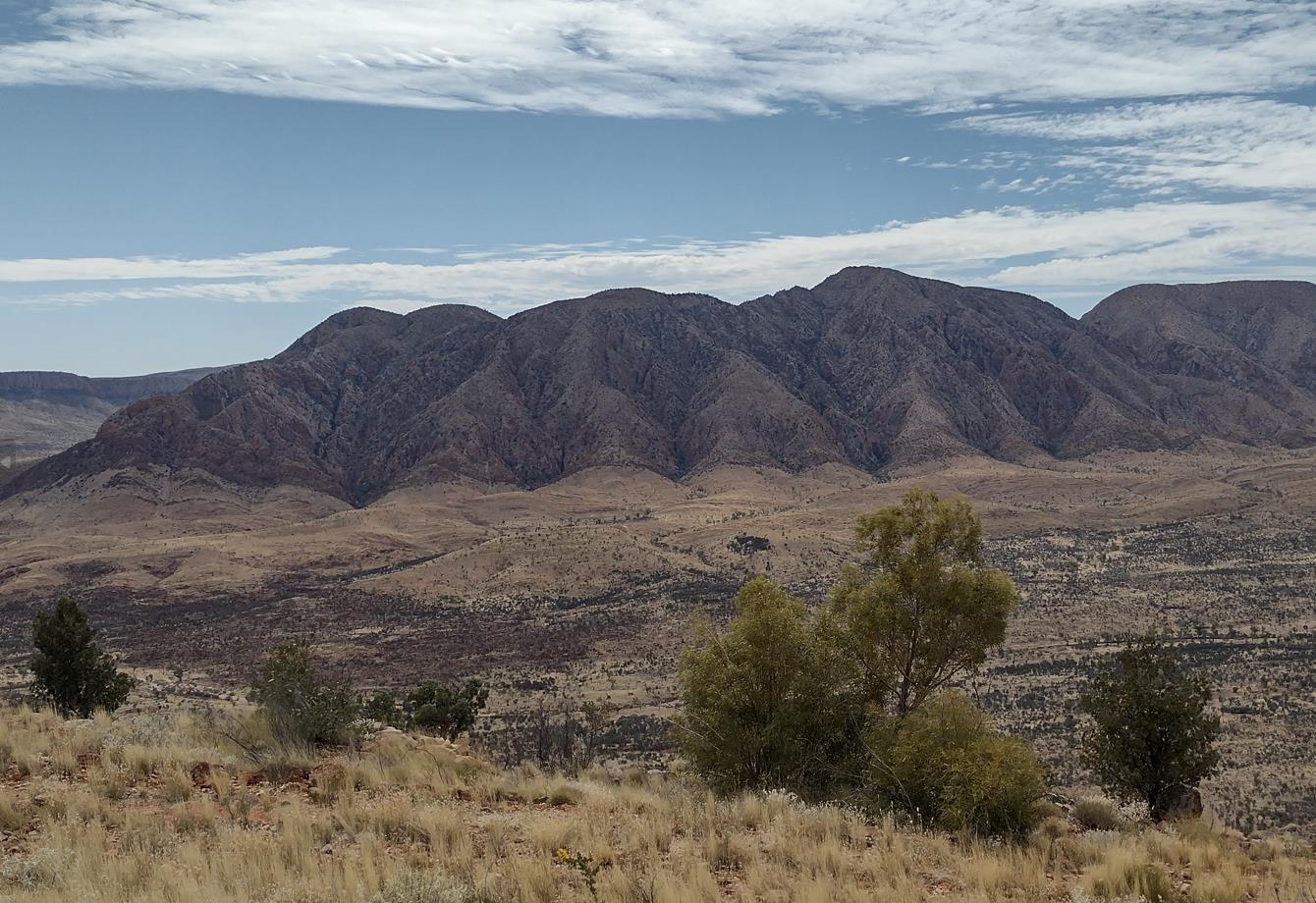
Mt Giles.
Our plan was to traverse the length of this ridge and then descend to camp sites at the south western base for the night. This would split the long Serpentine Chalet Dam / Ormiston Gorge section nicely into two manageable pieces. A total of 18-19km today (we had already covered 14km) followed by a lazy 11-12km tomorrow. So we were in no rush, and happily content to rest through the afternoon heat.
Several groups from Serpentine Chalet Dam hiked past as we rested. All seemed rightly envious of our setup. In the spiky rough brutality of the West MacDonnell Ranges a few chairs and a shady tarp can seem positively luxurious. In normal circumstances I might have had trouble looking a few of them in the eyes (given our performance in camp that morning). The Larapinta is not normal circumstances. Allowances must be made 🤷, forgiveness sought🤲.
As the 3pm hour approached we slowly readied to leave. It was then Phil's turn to do battle with ants. Somehow he managed to stand in another nest and had them all up his legs under his trousers. For the next 15 minutes or so of hiking he would periodically grimace and frantically slap and brush about around his legs. I do believe my earlier experience entitled me to see at least a little humor in the situation. He was lucky really, something to keep his mind off the walking...
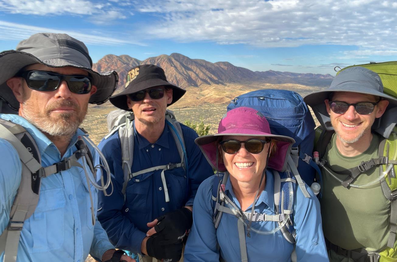
Group selfie in front of Mt Giles.
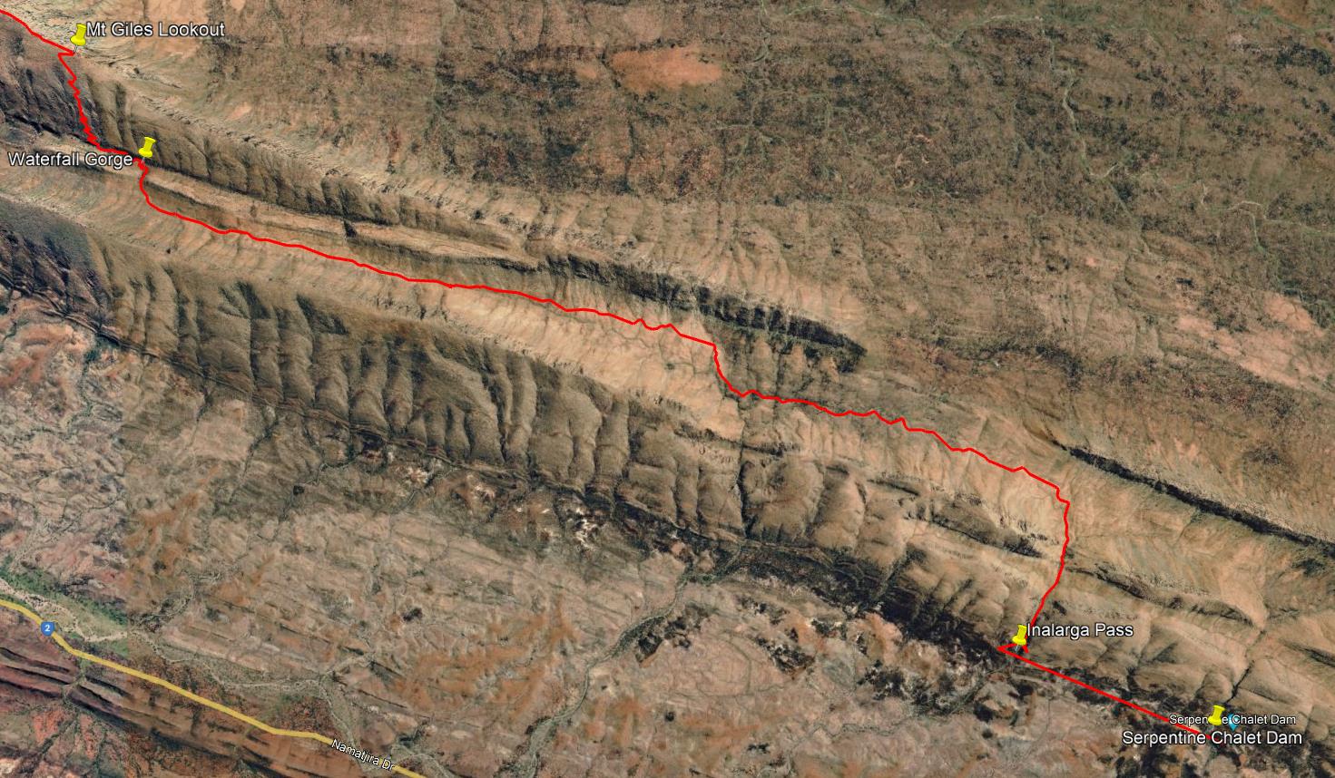
The morning trek from Serpentine Chalet Dam to Mt Giles Lookout.
After 1.2km of steady ridgeline hiking we reached Hermit's Hideaway (3:25pm). An interesting spot with plenty of good camp sites. So soon after our afternoon rest we were in no mood to end the day here. And, in truth, the thought of another high camp was not particularly appealing.
So we continued along the rocky ridge and after 2km more reached the start of the southern descent (4pm). Coming down from this ridge was obviously far easier than going up it. It's a 270m down climb but longer and less pitched than the eastern ascent. Hiking poles flashed busily as we scrambled over the loose footing and around the switchbacks. Near the base the temptation to cut corners on some of the more pointless switchbacks intensified.
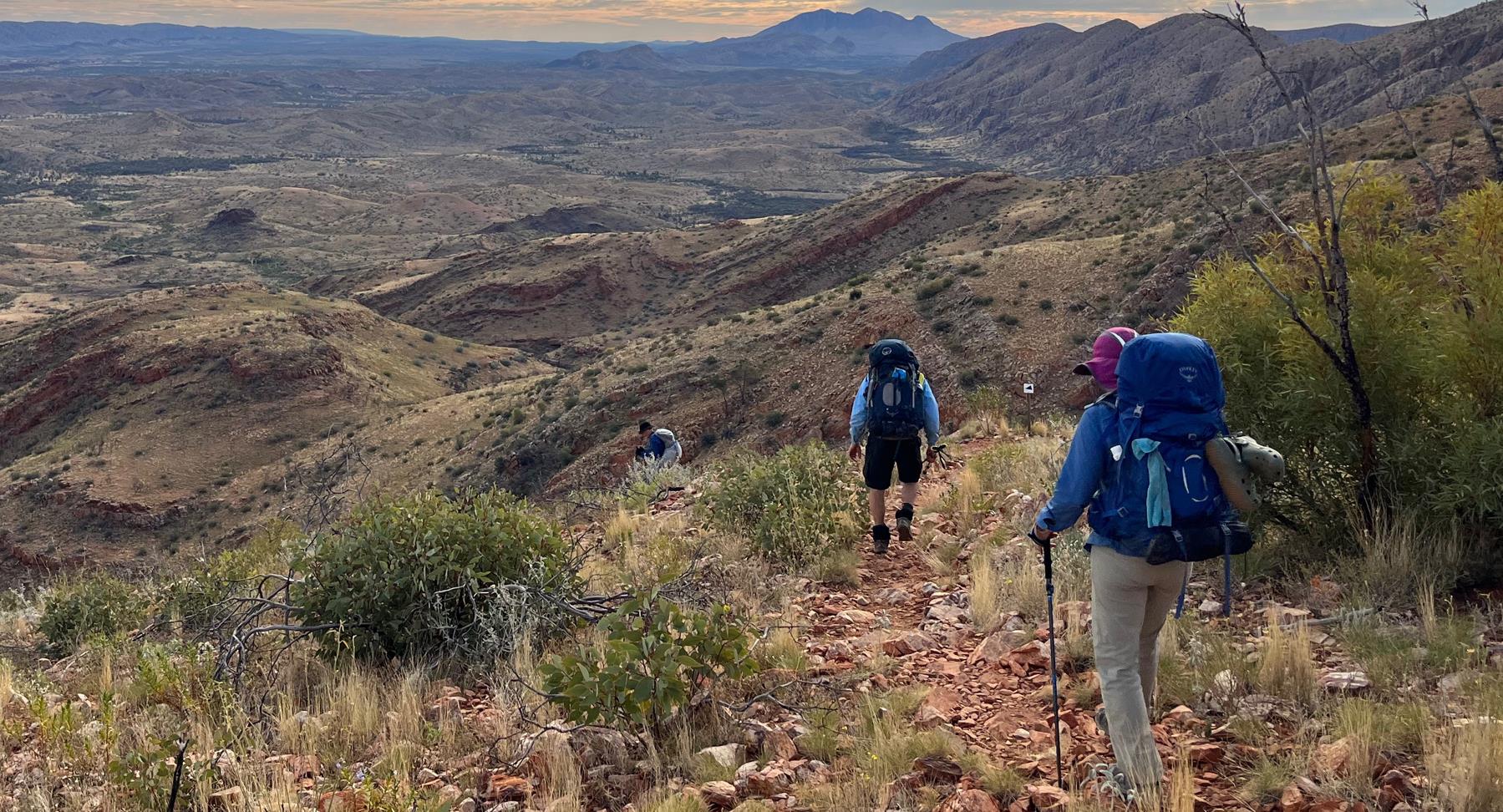
Descending from the western end of the Mt Giles Lookout ridge.
Arriving at the base at 4:30pm we immediately started to think about camp sites.
Now we ran in to a problem. The few sites we came across were rocky, dusty, small, and exposed. There were no indications of the nicely cushioned sandy stream beds we had become accustomed to.
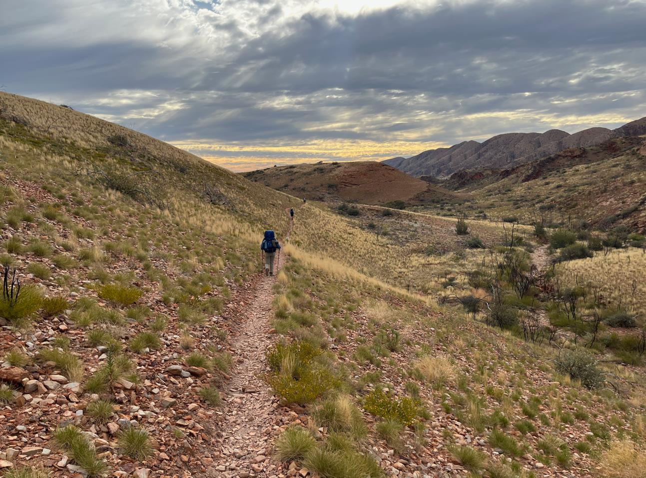
Going west from the base of the Mt Giles Lookout ridge.
After another couple of kilometers of fruitless camp prospecting (with forays into a couple of rocky, spiky gullies) we had a pow-wow. These campsites suck. Shall we just head to Ormiston?
I'm not sure what we were thinking. It wasn't a super well thought out plan. I think we just decided "Screw it" and then were excited by the challenge.
So began a rather epic late afternoon hike. We had 9km to travel and only another 1.5hr of daylight. It would be a close run thing.
All I really remember about that hike along the southern edge of the Heavitree was that it was interminable. One kilometer merged into the next. Each ridgeline we crested or navigated around served only to reveal another. We'd carried extra water all day thinking we'd be camping away from a water source. Now we reluctantly began the hateful process of tipping liters of excess water onto the parched earth.
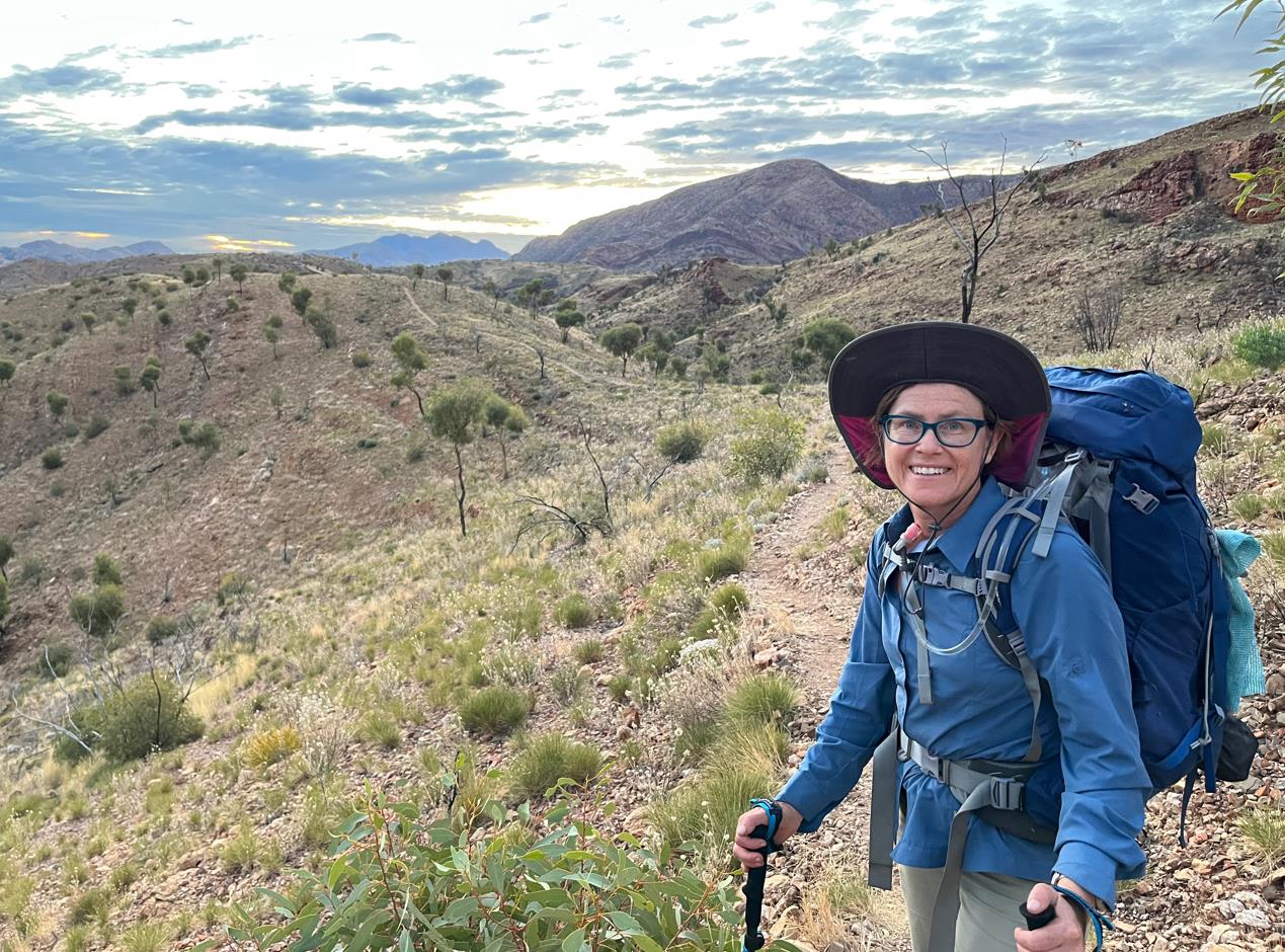
I don't know if this is Elise's 'exhausted face' or if I am just projecting my own state at this same moment.
You lie in the bed you make, so there were no regrets, but as the sun went down and still no sign of Ormiston I started to feel a little anxious. In the twilight I finally hit the wide sandy creek bed that twists south out of Ormiston gorge. I strode north beside it until finally the trail dumped me out into the creek bed proper. In my haste I had become separated from Fraser. Elise and Phil were somewhere further back. At this point I should have waited. The light was now gone and I was without a headlamp (my battery having gone flat). On the far side of the creek I had seen cars travelling the access road. I surmised the road must lead to the camp site so I left the trail and began hiking up the bitumen.
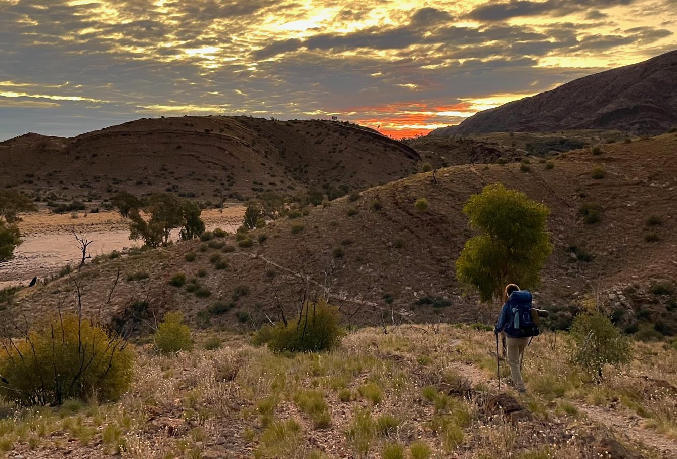
The sun is down. But finally we have reached the creek bed running south from Ormiston Gorge. 6:30pm.
After another km of frenetic hiking I finally found a campervan full of tourists. They helpfully pointed me to the Ormiston Gorge Kiosk. Lo and behold I then bumped into The Plodder (6:50pm) and she gave me directions to the trail head. Hooray!
After scouting the trail head (again packed, and with few available spots) I plonked my pack down at the far western end of the camp. Passing by the trail shelter someone handed me a large block of chocolate. Nice, must be Xmas! The bloke had way over-catered his drop box and was palming off food on anyone who would take it. Better than carrying it.
I started to backtrack in search of Elise, Phil, and Fraser. Purely by chance I intercepted them as they came by the kiosk. With their headlamps they had easily followed the reflective trail markers and had a much less confused journey into camp. I took them to see where I had secured a camping spot. They were rightfully not that impressed with my small rocky site and decided to search around a bit further.
Close by the trail head at Ormiston is a section set up for 'glampers'. A kind of up-market catered tour experience where the participants do guided day hikes and then return nightly to the semi-permanent tents at their base camp. As I understand it the guides often over-cater (or people drop out maybe). Sometimes the guides invite random trekkers to join in to finish up the excess. The glampers probably also get a bit of a kick out of interacting with the through hikers as well.
Sure enough as we scouted about for a better camp a young chap approached us and asked if we wanted to join his glampers for a feed. Our late arrival hadn't yet given us a chance to give dinner a thought. So it kind of fit us perfectly.
Salmon. Ribs. Cheesecake. I'm not sure what all was there, but that's what I had. It was good.
As it turned out the group was a merry lot (having had a few already) and was quite keen to hear about our trail experiences. I'm normally up for a yarn so spent the next 45min or so discussing our experiences. Elise and Phil helped out a bit. Fraser didn't think much of the whole setup and was happy to eat and bail. The most interesting thing for me was the questions they asked that I didn't have good answers for.
"How will you celebrate finishing?"
"What is the best part of the Larapinta?"
"What have you learned about yourself?"
As of writing (several months after finishing the Trail) I still struggle with answers for some of the things they asked.
Elise and Phil were keen to find the showers that we knew Ormiston had. They thanked our hosts and left. Losing momentum after the good feed, I did not stay much longer either.
What a day.
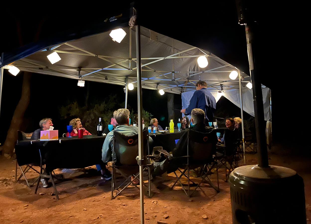
Dinner with the glampers.
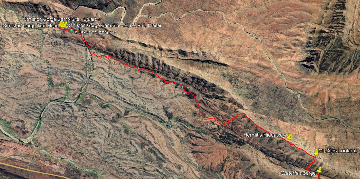
The afternoon hike. Mt Giles Lookout to Ormiston Gorge.
- Prologue
- Day 1: Alice Springs to Wallaby Gap
- Day 2: Wallaby Gap to Bond Gap
- Day 3: Bond Gap to Loretta's Lookout
- Day 4: Loretta's Lookout to Brinkley Bluff
- Day 5: Brinkley Bluff to Hugh Junction
- Day 6: Hugh Junction to Rocky Gully
- Day 7: Rocky Gully to Serpentine Gorge
- Day 8: Serpentine Gorge to Serpentine Chalet Dam
- Day 9: Serpentine Chalet Dam to Ormiston Gorge
- Day 10: Ormiston Gorge to Finke River
- Day 11: Finke River to Rocky Bar Gap
- Day 12: Rocky Bar Gap to Redbank Gorge
- Day 13: Mt Sonder, and back to Alice Springs
- Epilogue