Trekking the Larapinta - Day 10: Ormiston Gorge to Finke River
Section 10: Ormiston Gorge to Finke River
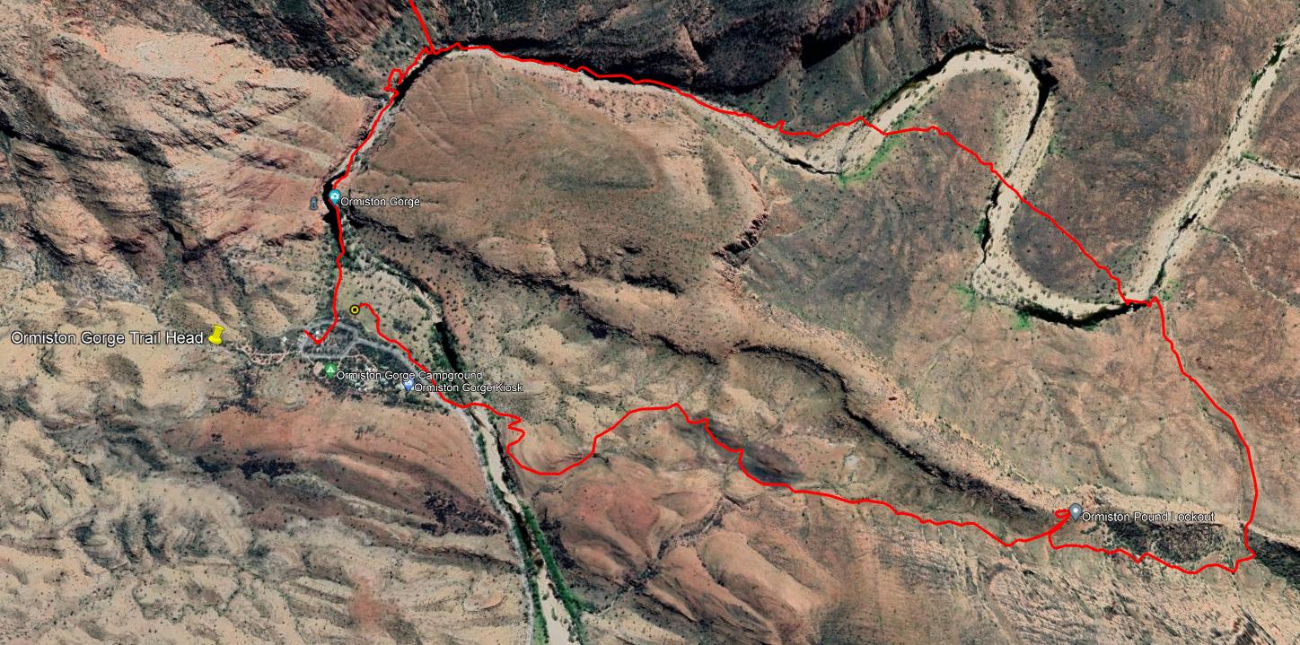
Ormiston Pound
[Hike distance: 9.5km / 5.9mi]
Ormiston Gorge to Finke River
[Hike distance: 8.7km / 5.4mi]
2022-08-02
It was a blustery, blowy night. Separated from the others, I was bivvied in the sheltered valley floor at the far west of the trail head camp site. The noise off the ridges was more uncomfortable than the actual ground level wind. After midnight the temperature fell and it began to feel like rain. Peering up out of my sleeping bag I could no longer see stars. That didn't seem good. Given that we hadn't seen any rain on the trail to date, it seemed unlikely, but better to be safe than sorry. Using the headlight I had borrowed from Elise I gathered the various clothes and gear I had strewn over the surrounding foliage and packed it closely in beside my sleeping pad. Then I laid my tarp out over my bottom half and anchored it with a few rocks. Satisfied, I drifted back to sleep.
Just before dawn I felt a few rain drops on my face. Not really enough to warrant it, but I pulled the tarp over my whole body and was rewarded with a slight serenade of rain drops as I lay there congratulating myself for my foresight. It lasted about 10 minutes and then was gone.
Hmmmm. Bit of a disappointment.
Then it started to rain again. Harder this time. Almost like real rain.
Shit. I wonder how much water is landing on my ground sheet and running under my sleeping pad?
After another 10 minutes it stopped.
Right. Screw this, if it really starts to rain I'll either have to wait it out under the tarp, or get wet while tearing down my camp. I decided to get while the getting was good. After rapidly packing my kit I bee-lined it down to the trail head shelter where I knew there was tin roof.
Fraser was already there making a coffee, so I joined him for a cuppa.
Fifteen minutes or so later Elise and Phil joined us and we had breakfast.
Our unexpected long hike the day before had put us ahead of schedule. The Ormiston Pound Walk had been an optional extra on our itinerary. With some time up our sleeves we decided we would do it.
Ormiston Pound Walk.
We left our packs in Elise and Phil's tent. Absolute luxury to be hiking with only small day packs.
At 9:10am we exited the Ormiston campground area and tramped east. It took no time to cross the river bed we had come in on yesterday. From there we faced a 2.4km uphill walk to the Ormiston Pound Lookout. It was windy. Very windy. As we neared the final saddle before the lookout we passed a group of older hikers returning back down the trail towards us. Their guides had turned them around due to the conditions. One of the ladies warned Elise not to go any farther. Not on your nelly. The wind was bad, but not that bad.
At 9:50am we reached the lookout point. It was an excellent vantage point to view the rampart surrounded hinterland of the Gorge. To find a good spot to sit we moved further up the ridge. The wind howled in from the north. Directly into our faces. Taking a seat for stability was almost mandatory.
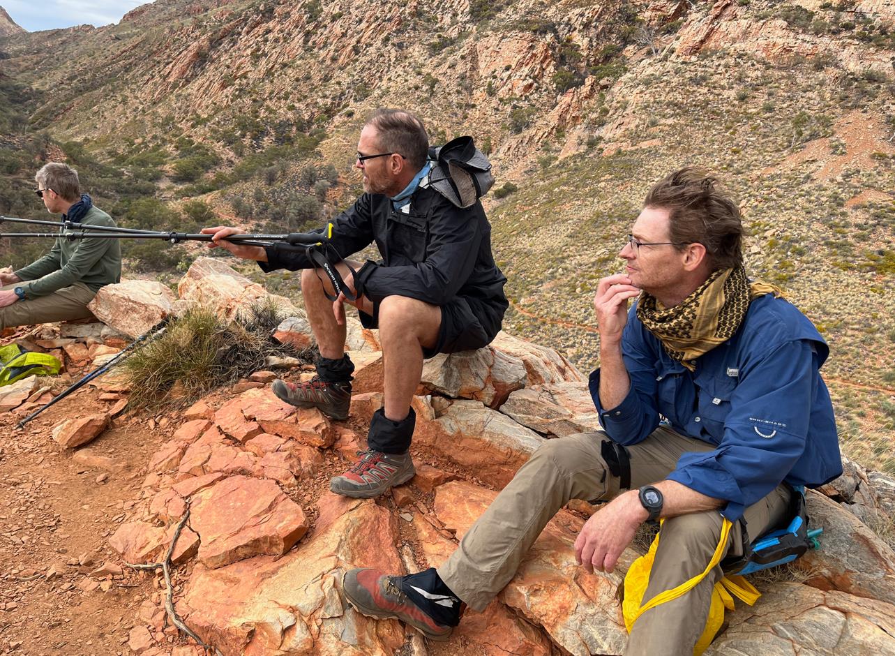
Looking out over the Ormiston Pound.

Ormiston Pound panorama.
We didn't tarry long, eager to get down amongst the sights we had just seen. After perhaps 10 minutes at the lookout we were winding our way east and then north. At 10:20 we were at the first creek crossing. Expansive sandy beaches bordering large clean waterholes. The spot was lovely. To me it was about as close to a seaside beach environment as you are likely to get in the middle of Australia.
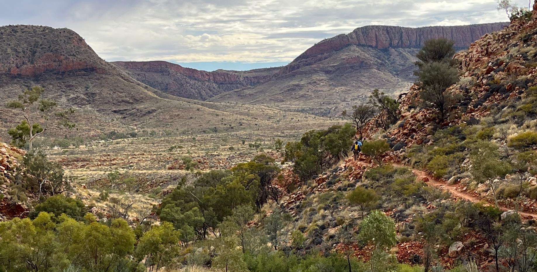
Into the Pound we go.
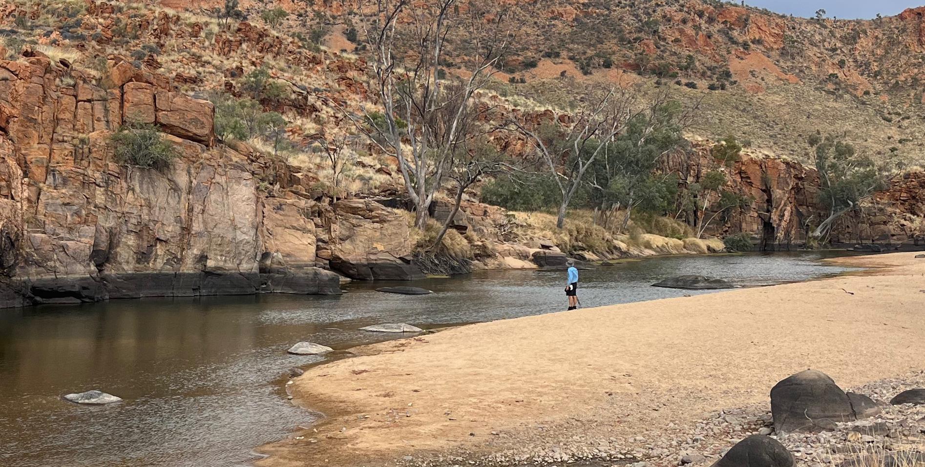
Fraser scoping out a large waterhole.
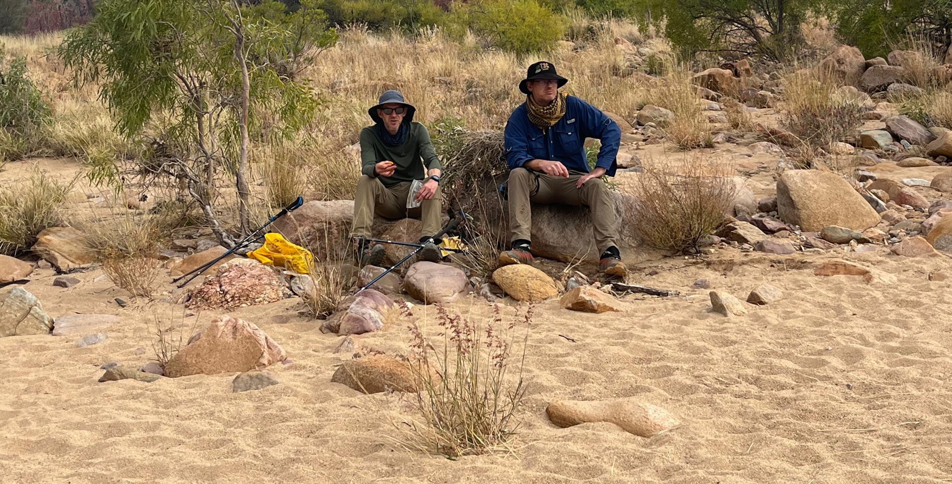
Phil and I chowing down on some morning tea. Me without shades for the first time on the trail.
Ormiston Pound Walk
With the cooling benefit of the cloudy sky this was a place I could have easily have spent the full day. Alas, our time was limited. By 11am we had traversed the Pound from east to west and were entering the northern end of Ormiston Gorge.
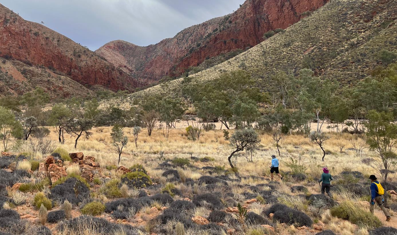
Heading for the Gorge.
The route through the gorge features fairly benign conditions. Sometimes rocky. Sometimes sandy. A few water pools to traverse. Elise managed to come unstuck on some slippery rocks while wading through knee deep water. After seeing her capsize I was better prepared, and negotiated the hazard without issue. Well done Elise.
The deepest pond required us to backtrack and climb the western wall before descending back to the gorge floor. Fraser avoided the hassle by bouldering along the perimeter a few inches above the water. Had there not been an audience I would have given that route a crack, but my chances of ending up in the drink were 50/50 so I saved myself the potential embarrassment by going the long route.
At one point sparse rain drops began to fall. Having carried in my rain jacket I decided to put it on. Within about 50m I realized that the extra sweat generated by the coat was making me wetter than the light drizzle. Accordingly, I quickly re-stowed it in my day pack.
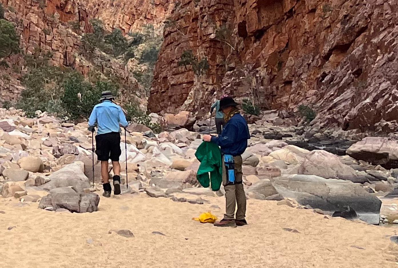
Donning my rain jacket.
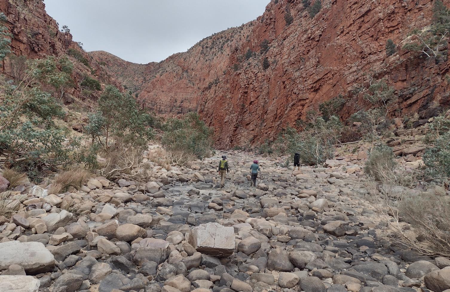
Boulders underfoot.
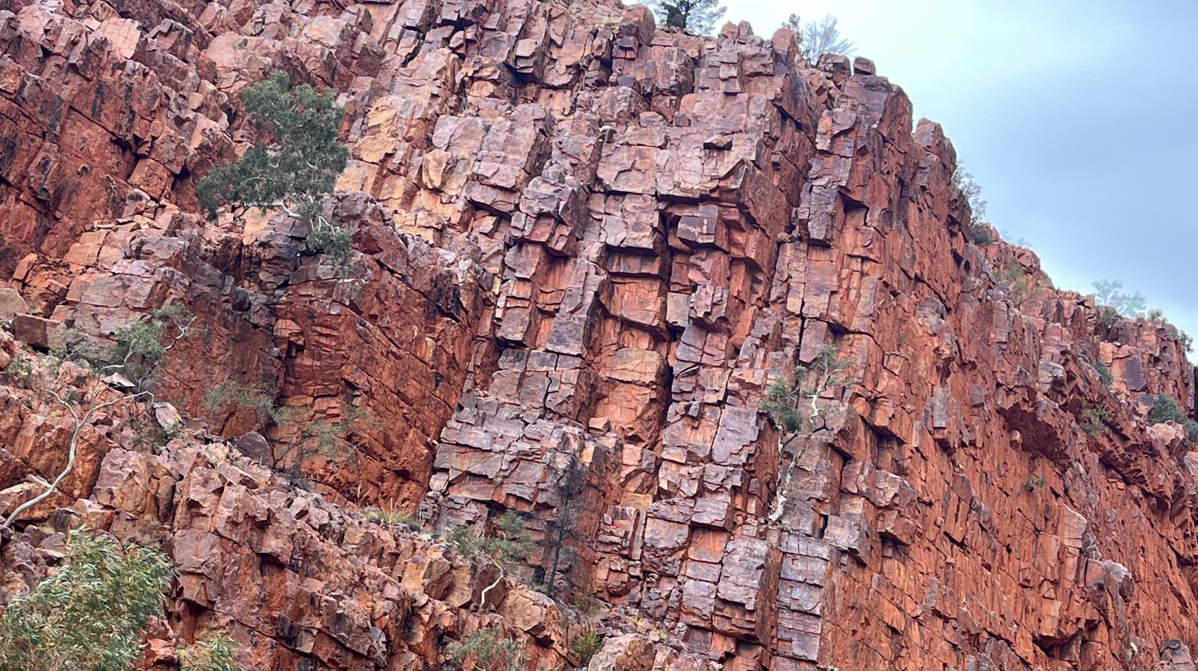
The blocky minecraft structure of the gorge walls at Ormiston.
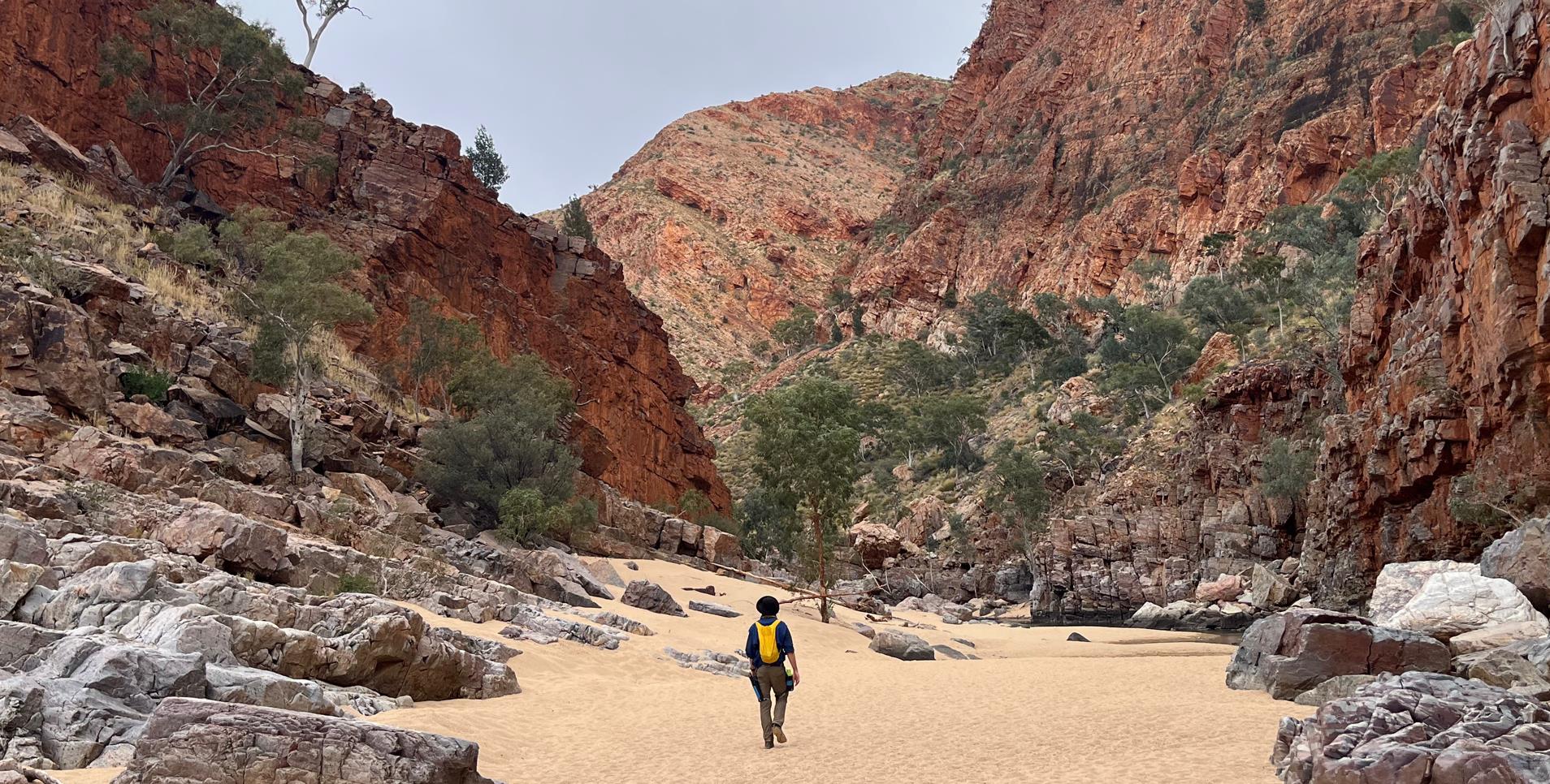
Easy walking. Fantastic scenery.
The 2.4km length of the gorge took a bit under an hour to navigate and we were back in camp at 12pm. The Pound Walk had been well worth the trouble.
The lunch options at the Ormiston Kiosk are far more limited than the fare at Standley Chasm. A few of the advertised options weren't actually available. We happily made do with what was there and then set about retrieving our final drop box and distributing the contents.
Ormiston Gorge to Finke River
By 1:30pm we were striding west again, all business, eager to get to the Finke River camp. It was only 9km away with no major climbs. Given the favorable walking conditions of the morning we were expecting a relatively easy hike.
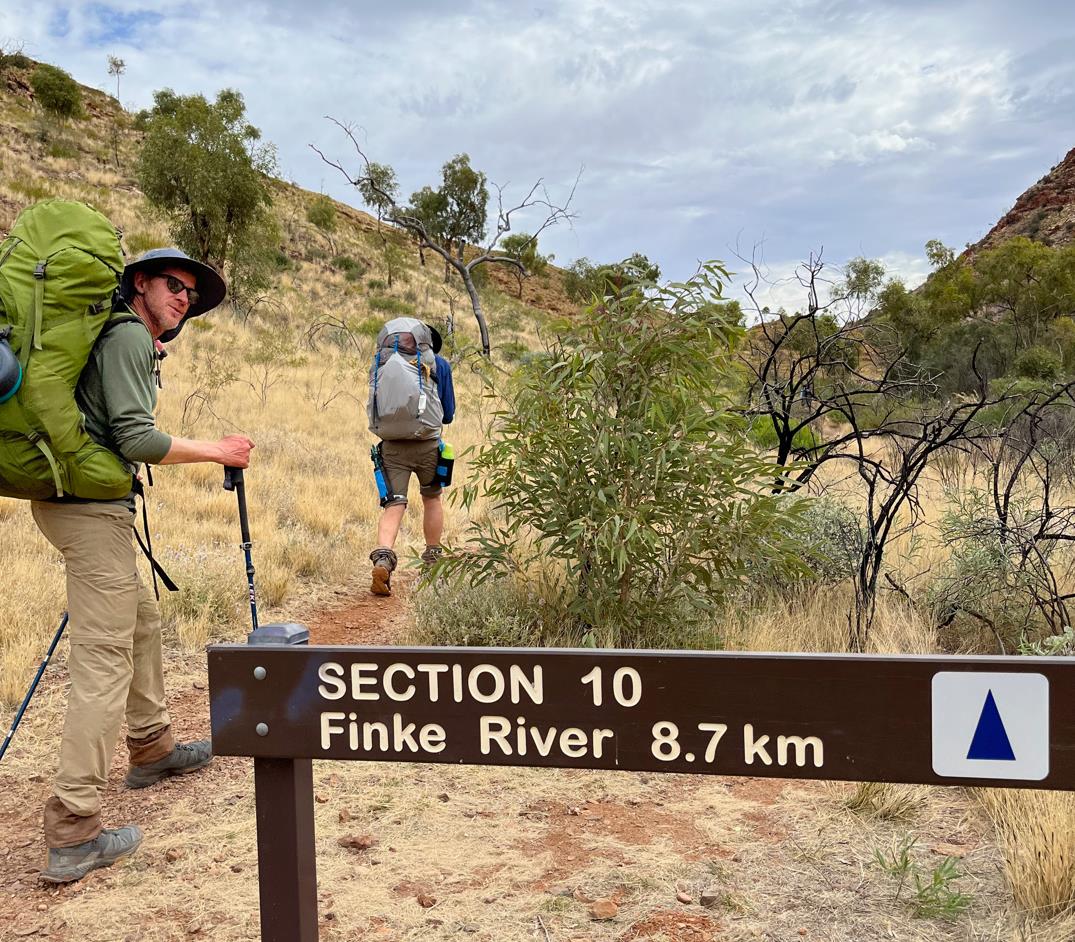
Leaving Ormiston Gorge.
The Larapinta always gets a vote. There was nothing easy about the afternoon hike. It started well enough, but as the clouds thinned the heat rose. Again burdened by the weight of fresh food stocks, the chatter soon died and we each retreated into the automaton mode of determined plodding that best combats the oppressive post meridian sun.
The first 5km of the track I would characterize as upland rolling hills. The vegetation was sparse and open. Not as scrappy as other places on the trail. The trees had clearly been stolen from the pages of The Lorax. I don't know what they really were, for me they were Truffulas.
Elise and Phil seemed engrossed in examining small native shrubs. Potential landscaping additions for their new store in Whyalla. It checked out. Both places are horrible blazing hell holes.
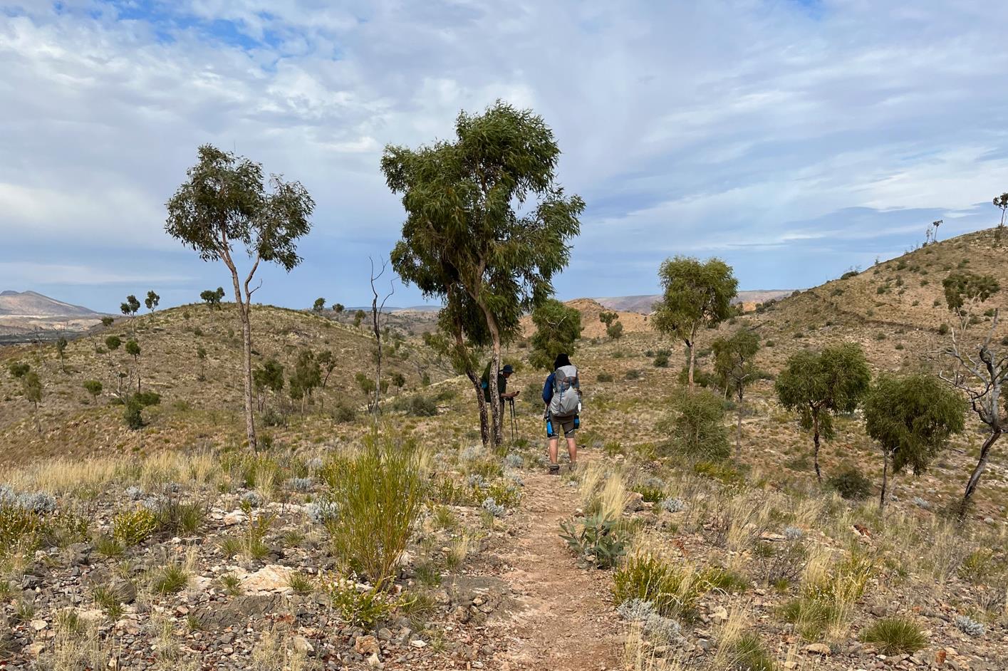
Phil and I in the shade of some Truffulas, mid way between Ormiston and Finke River camp.
At the midpoint in the hike the trail summits a small knoll before dropping down into more riverine lowlands. At 2:40pm we arrived there and the four of us lined our chairs up in the narrow strip of shade cast by a single Truffula. Not brilliant, but it was what there was. We brewed drinks and sat there contentedly for almost an hour, hoping to let some of the heat slide out of the day. The exposed position was hot and blowy, but the view was solid.
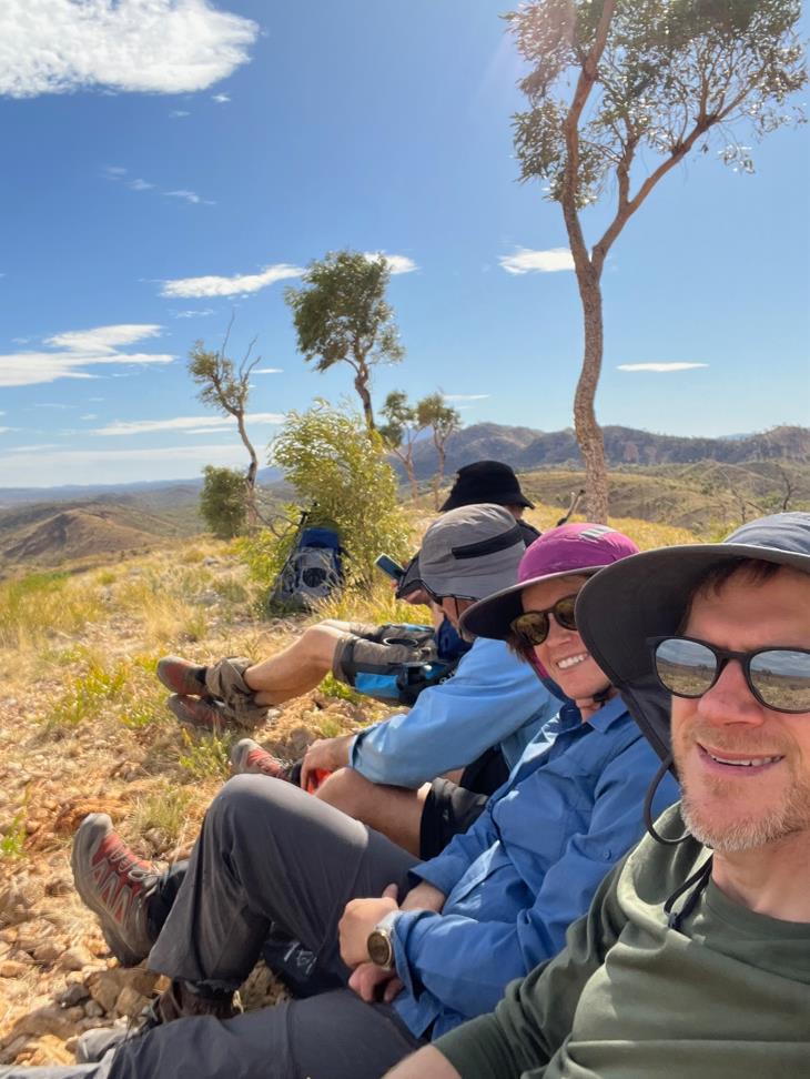
Camped under the shade of a Truffula tree.
At 3:35pm we decided to brave walking again. The conditions underfoot were easy enough, a well trodden dirt track for the most part. But the oppressive heat and gusty dry wind combined to remove all joy from the downhill trek. I found myself out front, oftentimes having to hold my hat to stop it whipping away into the low scrubby bushes bordering the track. Mindless hiking, doggedly determined to smash out the miles and reach Finke River camp as soon as possible. It took only an hour to put the remainder of the section behind us, but the nasty conditions seemed to slow time. In my memory this short section seemed much harder than its mappable dimensions would indicate.
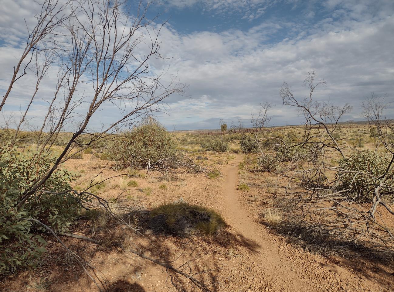
Dry. Hot. Hard.
On the upside, arriving at the Finke River campsite at 4:40pm we found a location that suited us perfectly. Not far from the trailhead was our ideal campsite. A wide sandy expanse of creek bed accompanied by an inviting waterhole and large shady River Gums. Heaven.
I think we each took a swim in the Finke. Clothes and all. Definitely cold, but nothing like the frigid pools of the range gorges.
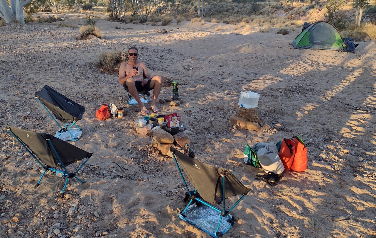
Fraser relaxing after a swim in the Finke.
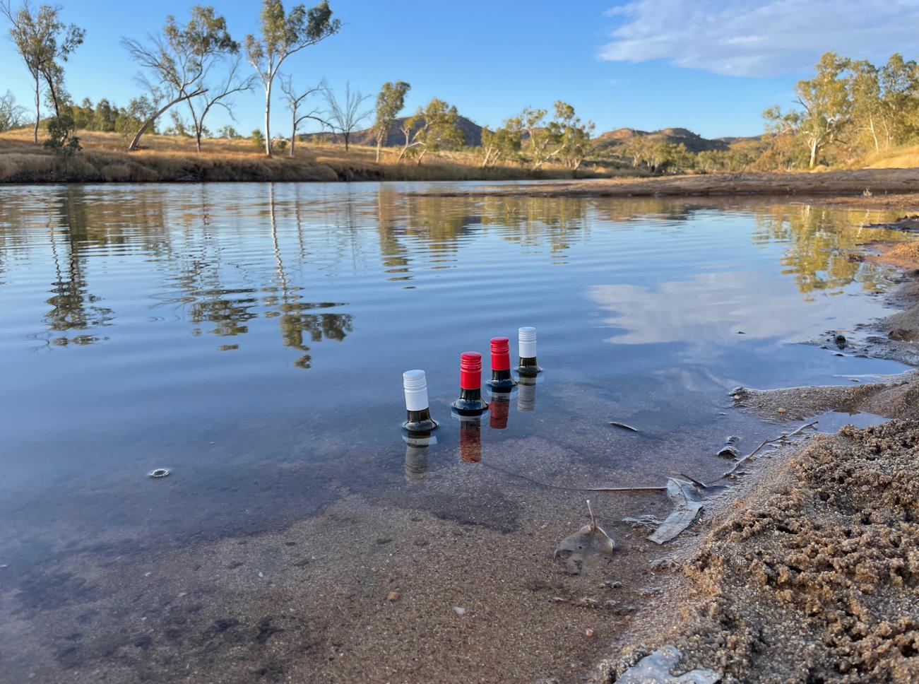
A few bottles of wine courtesy of Elise & Phil's Qantas flight from Adelaide. Chilled to perfection in the Finke.
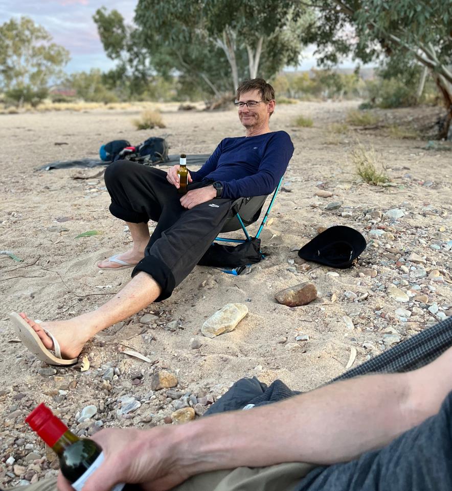
Happy camper. Dip in the water. Some 'less dirty' apparel. Bottle of white. Comfortable chair. Bliss.
While preparing for dinner we left some of our electronics up at the trailhead to charge using the solar USB plugs that most of the trail heads have. Unlike several of the shelters, these ones actually worked, and weren't already monopolized. While there we met The Plodder again. Out of Ormiston at dawn she had quickly made this camp, and was just returning from a round trip to Glen Helen Gorge. Her description of it didn't inspire us greatly. Like the Ochre Pits, it was a side trip we would leave for another day.
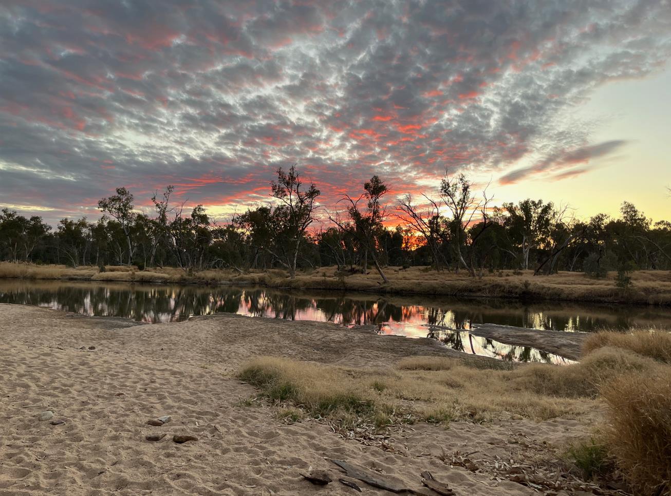
Sundown at Finke River.
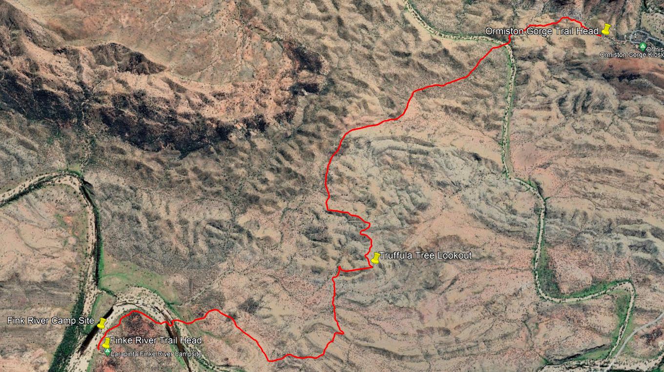
Ormiston Gorge to Finke River Camp.
- Prologue
- Day 1: Alice Springs to Wallaby Gap
- Day 2: Wallaby Gap to Bond Gap
- Day 3: Bond Gap to Loretta's Lookout
- Day 4: Loretta's Lookout to Brinkley Bluff
- Day 5: Brinkley Bluff to Hugh Junction
- Day 6: Hugh Junction to Rocky Gully
- Day 7: Rocky Gully to Serpentine Gorge
- Day 8: Serpentine Gorge to Serpentine Chalet Dam
- Day 9: Serpentine Chalet Dam to Ormiston Gorge
- Day 10: Ormiston Gorge to Finke River
- Day 11: Finke River to Rocky Bar Gap
- Day 12: Rocky Bar Gap to Redbank Gorge
- Day 13: Mt Sonder, and back to Alice Springs
- Epilogue