Trekking the Larapinta - Day 3: Bond Gap to Loretta's Lookout
Section 2: Simpsons Gap to Jay Creek
Section 3: Jay Creek to Standley Chasm
[Hike distance: 26.5km / 16.5mi]
2022-07-26
We broke camp at about 7:30am and wandered into Bond Gap proper for a gander. With a chill still in the air, the deep clean-looking waterhole sandwiched between vertical red rockfaces appeared cold and uninviting. Accordingly we did not dally long, and were walking west by 8:00am.
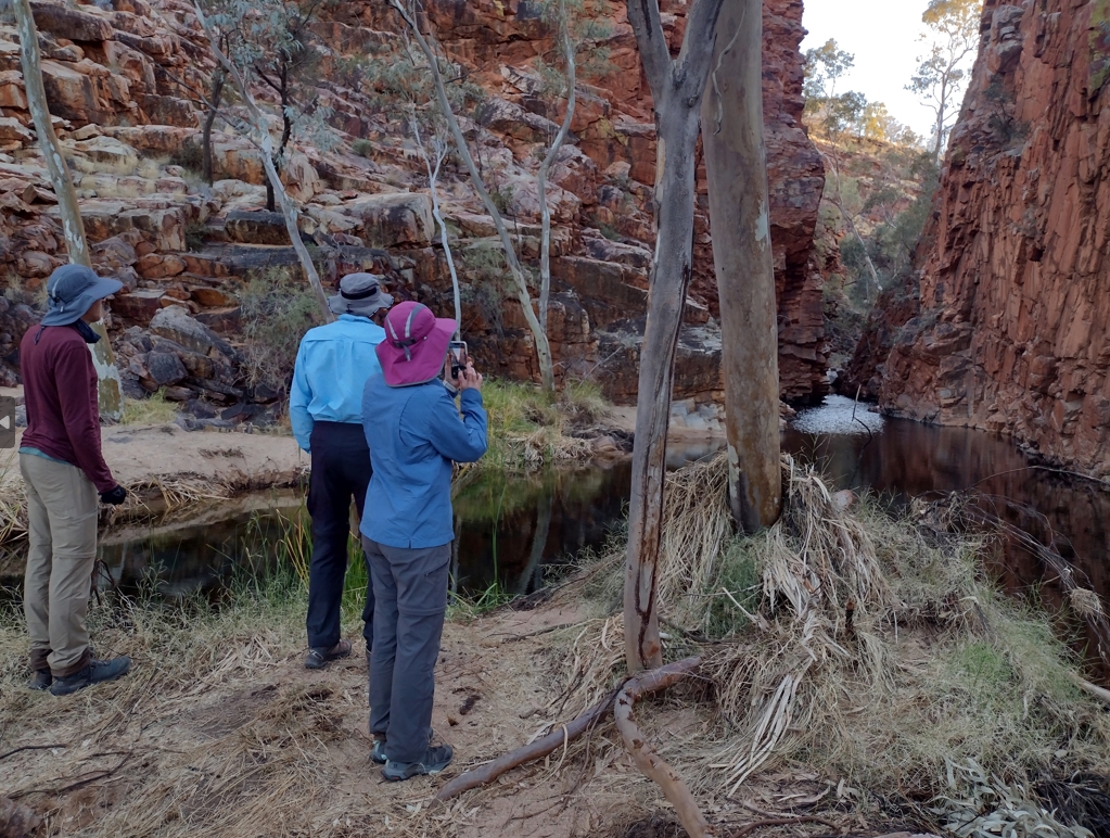
Bond Gap.
The morning walk was initially dominated by the overhanging presence of Arenge Bluff. We trudged along happily enough, munching on scroggan and negotiating the gentle series of hills and hollows without incident.
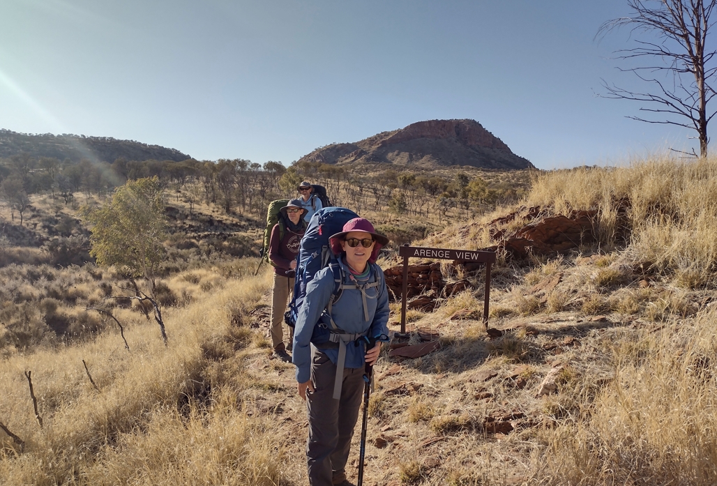
Arenge Bluff (top center).
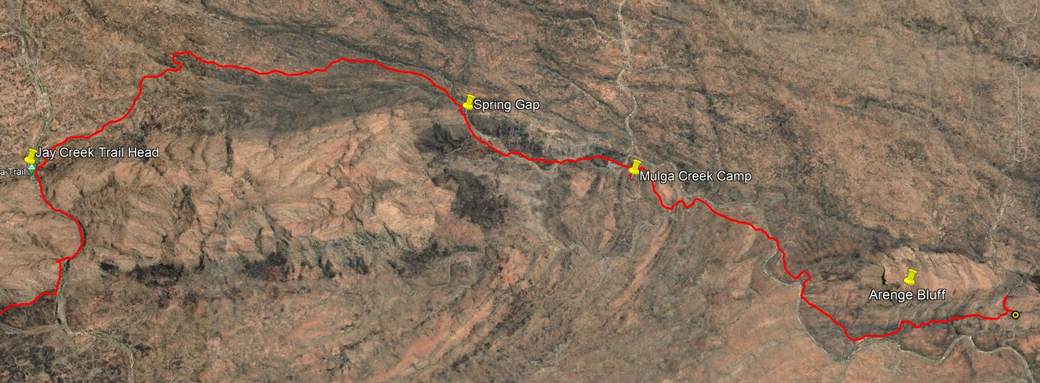
By 9:30am Arenge had receded to our rear and we arrived at Mulga Camp campsite. This was our breakfast spot for the day and we made use of the lone picnic table. It's an unremarkable spot carved out of some scrub on a sloping ridge. The camp sites all appeared to have slants and did not look inviting. A water tank and a toilet were welcome enough. Each night on the trail we cold soaked a porridge mix. Now we added some freshly boiled water and relaxed and chatted while we ate. This was the only day we ventured out of camp to eat breakfast. Dunno why. Perhaps carrying wet porridge seemed pointless. Back on trail at 10:15am.
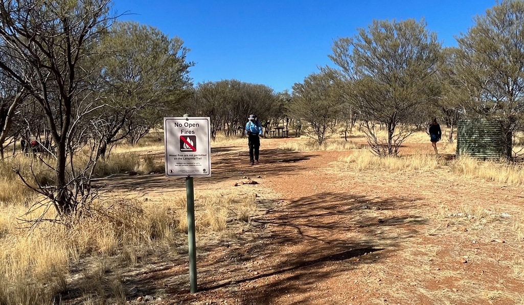
Mulga Creek campsite.
From Mulga Camp it is a short 30min walk to Spring Gap which leads to the north side of the Chewings Range. Evidence here of cattle on the trail with hoof prints and dry dung. None of the actual animals were evident however and this was the only time we were to see sign of them. Passing out of the Gap we curved to the west and proceeded parallel to the range. With the day now heating up the walking started to get harder. The ground was rocky, dusty, and dry underfoot. Raggedy native scrub crowded the trail. At one point we stepped aside to allow a purposeful looking group of 8-10 young blokes march through. Muscular arms and a rag-tag mix of general purpose ruck sacks. We had been told there were some military groups on the trail. Out there for training, or just for fun? Dunno.
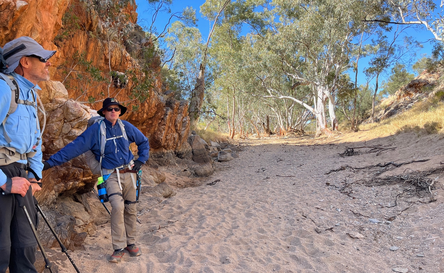
Spring Gap.
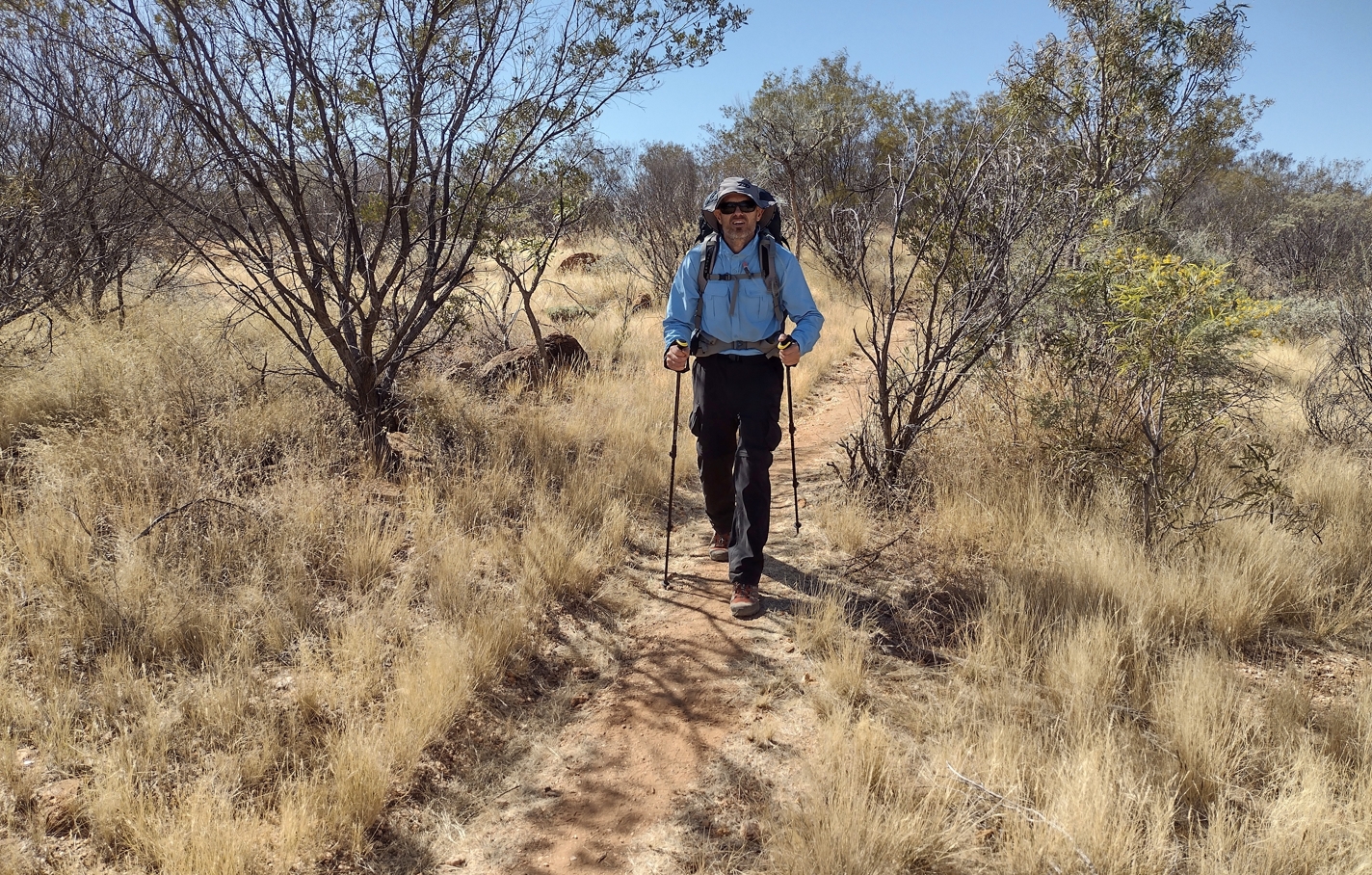
Fraser on the north side of the Chewings, heading east towards Jay Creek
At 11:55am we took a short 15 min break. Enough to deal with a few emerging blister issues, distribute some provisions, and discuss some caves Fraser had spied on the flanks of the range to our south.
By 1:00pm we had reached the end of Section 2: Jay Creek. We quickly took advantage of the trail head shelter to brew drinks, spread lunch wraps, and refill water bottles/bladders.
As we were preparing to leave, another (presumed) army group rolled in from the south. Among them was one girl. She looked a little pissed off with life. Accompanying 6 or 7 macho young blokes through this country would probably do that to you. Hopefully she had their measure. They had come from Standley Chasm that morning. I think it was Phil who mentioned he was looking forward to a burger when we got there. Apparently they were a hit with this lot, one of them noting he had bought two: one for breakfast and another to carry for lunch.
Finished lunch at 2:20pm and ventured south into the gorge, towards Fish Hole, arriving at 2:50pm. To get past this waterhole the track climbs you up out of the gorge, across a ridge, and then dumps you back on the bottom side of the water. It's a rude and strenuous 20min method to travel 50m. At that point we were back on the trail and heading towards Tangentyere Junction.
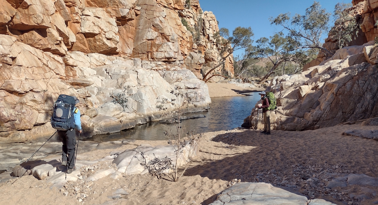
Fraser and Phil surveying the Fish Hole waterhole.
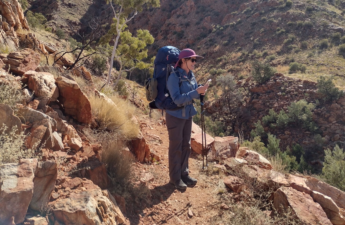
Elise having summitted the detour around Fish Hole.
Next was a 40 min hike along a gently upward-sloping draw to reach Tangentyere Junction at roughly 3:50pm. Here the track splits and you are presented with the choice between two routes to Millers Flat. A shorter "Low route" and a longer "High route". Keen for our first high camp we accordingly turned right and began the ascent. Well, almost. On this trail the route designers seem to always find a way to descend you to a low point just before a hard climb. Just to increase the fun I guess.
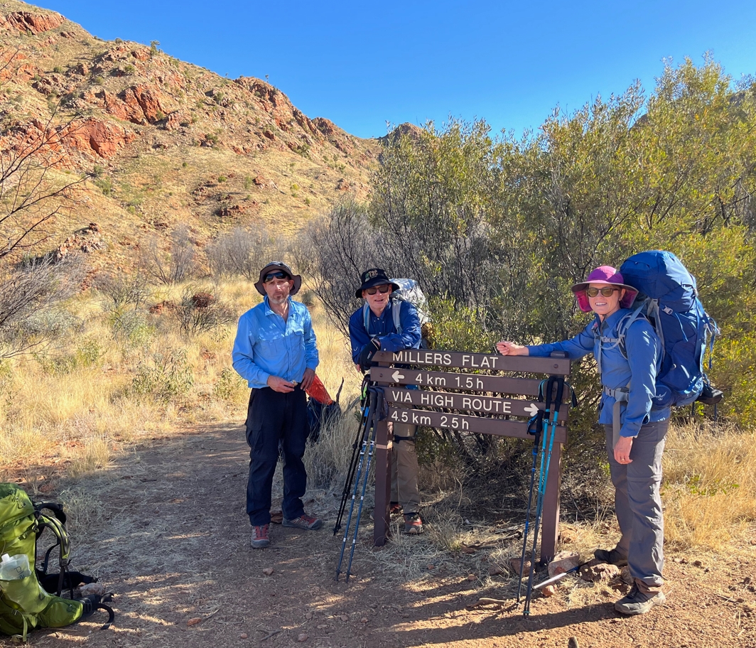
Tangentyere Junction.
The climb up to Loretta's Lookout was composed of a steep set of perilous feeling switchbacks that took a good hour to ascend. The trail was punctuated in places by large precarious-looking boulders balanced on the outside shoulder. In my mind I could picture the mayhem a good shove would cause as the goonie accelerated down into the depths of the valley below, ricocheting off boulders and crashing and smashing others into compliance on it's mad ride. As a kid, rolling large rocks down the mountain at the family property had been a fun pastime. However, mindful of the fact that this was actually a national park, I controlled my urges and refrained.
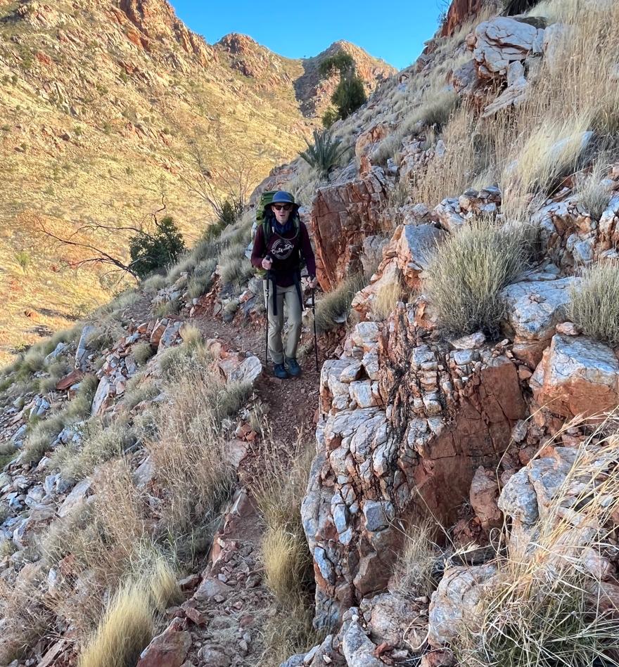
Phil on the goat track up to Loretta's Lookout.
As soon as we hit the first high ridgetop we felt the wind hit us and the temperature drop. On the one hand it was awesome as we were all sweating profusely after the tough climb. On the other it was ominous knowing we would be spending the night in it. I cinched my shemagh around both head and hat.
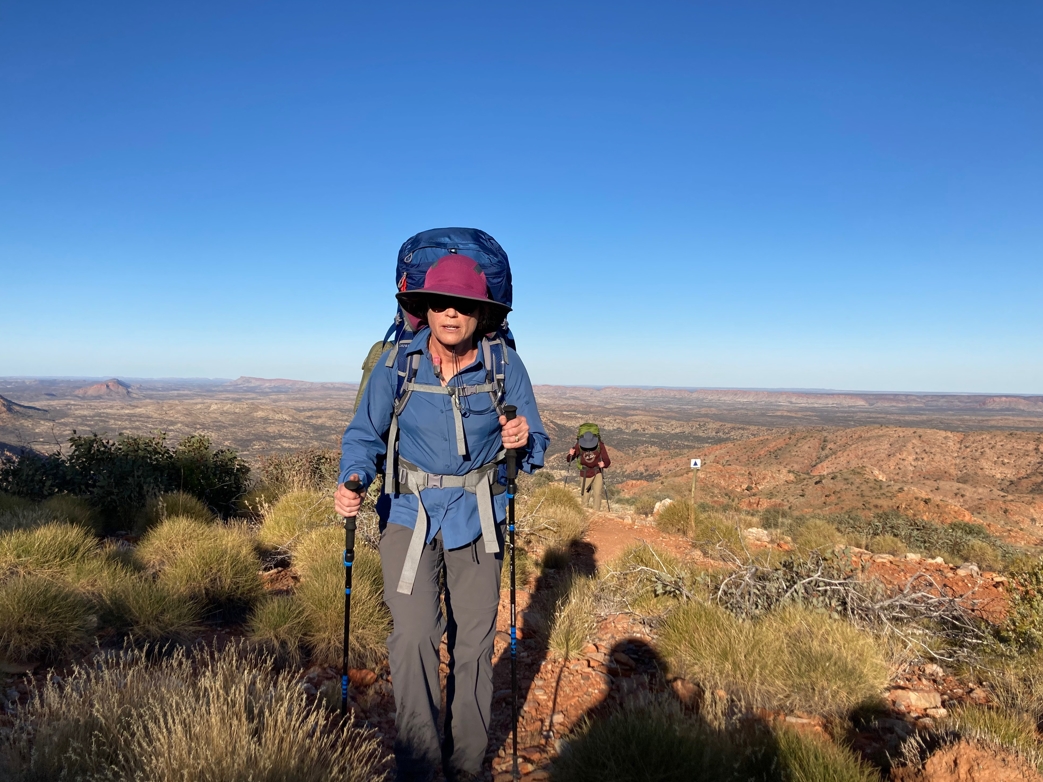
Phil and Elise reaching the top.
Traversing along the ridge we soon reached the small stone cairn that signifies the summit (5:10pm). There were camp sites 40-50m to the north on a relatively flat hilltop shoulder. These were maybe 10m lower than the trail. They looked pretty exposed and lacked the protective wall of stones that many Larapinta camp sites possess. Given the wind that was already present and our expectation of freezing temperatures I spent another 30min scouting for camp sites to the west. To no avail, there was nothing that looked more promising. We would overnight just below the summit.
Phil and Elise erected their tent. Fraser arranged his groundsheet, mattress and tarp in a ground hugging bivy sack type arrangement. I decided I would try to erect my tarp in a windbreak type configuration. A bit hopeful given that I didn't know if the wind was likely to change direction during the night.
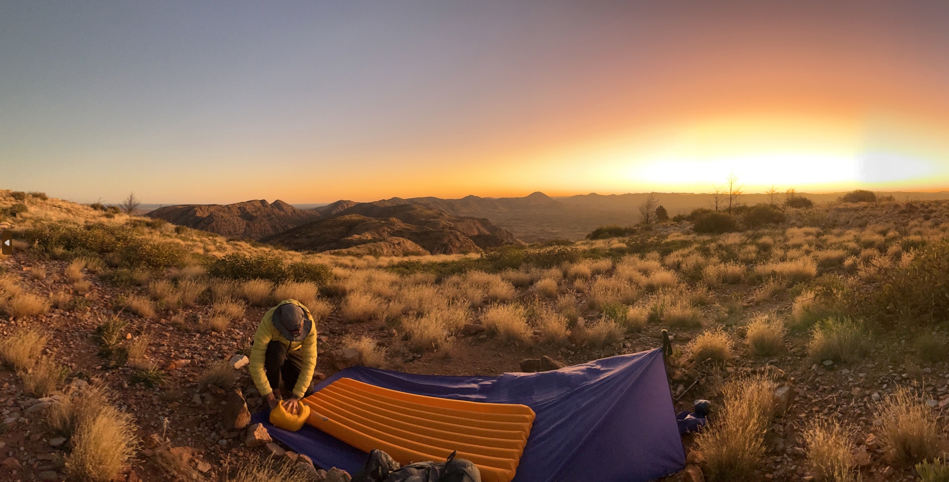
Fraser setting up on Loretta's Lookout.
It was windy. It was cold. We knew it would get colder during the night. After dinner Elise & Phil retired to their tent and I to my camp. Fraser brought over his chair and sat beside me for a while to gaze at the stars. Soon he too wisely decided to seek warmth, and headed for his sleeping bag.
I was wearing pretty much everything I had brought with me. Long thermals top and bottom. Over that I had my regular trail trousers and long sleeve shirt. Layer three consisted of a pair of tracksuit pants (brought especially for cold nights), and my puffer jacket. My head was wrapped in both my floppy hat and my shemagh. A thick pair of sleeping socks and warm gloves completed the outfit. Once in my sleeping liner and zipped bag I settled in and hoped for the best.
The wind was howling over the ridge top like an insane banshee. Thankfully we weren't up there. But even in the lee of the summit it was buffeting and battering my tarp like it wanted to tear it from the ground and throw it down the mountain-side. Despite this, as exhausted as I was after the day's hike, I hoped to soon slip into slumber.
Maybe I got some sleep. It didn't feel like it. My tarp felt like a sail flapping about in a gale. At 11:30pm I decided to give up on the whole "wind break" idea. My walking poles (which had been propping up one side of the tarp) were all askew and any semblance of tautness in the tarp was now gone. Without getting out of my bag I removed the poles and let the tarp collapse on top of me. I held one edge with a gloved hand trying to keep it tight. It was hopeless. The whole arrangement flapped madly in the wind and beat up and down on me incessantly.
Time for some midnight reconfiguration. Unwillingly, I exited my bag and rolled up the tarp completely. I was pretty sure it was doing nothing to keep me warm. Overnight dew seemed unlikely given the wind (and do they even get dew in this nasty desert?). I had to shift around a few rocks that had been holding the tarp ends, but soon I was back in my bag, lying under the stars and directly in the teeth of the wind.
I still got a bit of a buffeting, but nothing like the tarp had been giving me. Relief!
Some time after midnight Elise must have needed to answer the call of nature. Exiting her tent I think she was a bit alarmed at the fact that my tarp was no longer present.
"You ok Stu?"
I toyed with the truth for a split second ("No, this is really fucked") before answering.
"Yep, no worries".
I think then I finally dozed off.
At 4am I awoke with frigid feet.
Well, that sucks.
At this point I only had one piece of clothing left1 - my rain jacket. I pulled it out of my pack, zipped and buttoned it up, and slid it around my feet and lower legs.
Actually worked pretty well.
Now content that I was likely to make it through the night I stole another hour or so of fitful sleep waiting for morning.
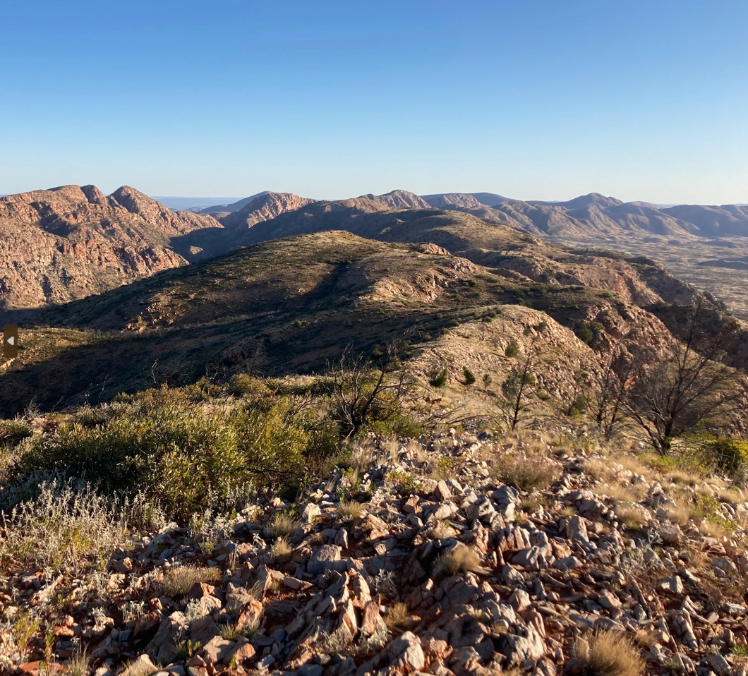
The eastern ridgeline that I unsuccessfully scoured for better camp sites just before dark.
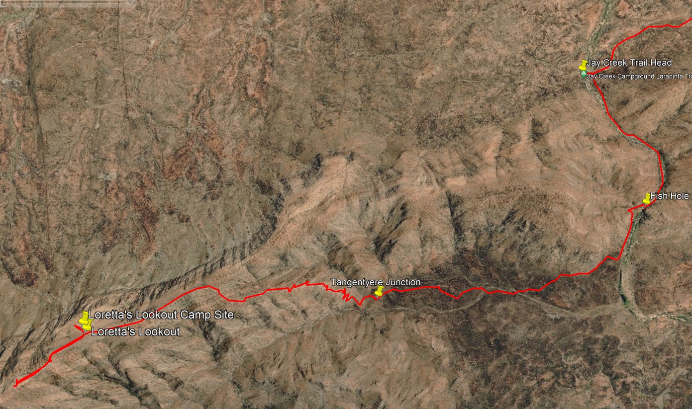
Jay Creek to Loretta's Lookout.
- Prologue
- Day 1: Alice Springs to Wallaby Gap
- Day 2: Wallaby Gap to Bond Gap
- Day 3: Bond Gap to Loretta's Lookout
- Day 4: Loretta's Lookout to Brinkley Bluff
- Day 5: Brinkley Bluff to Hugh Junction
- Day 6: Hugh Junction to Rocky Gully
- Day 7: Rocky Gully to Serpentine Gorge
- Day 8: Serpentine Gorge to Serpentine Chalet Dam
- Day 9: Serpentine Chalet Dam to Ormiston Gorge
- Day 10: Ormiston Gorge to Finke River
- Day 11: Finke River to Rocky Bar Gap
- Day 12: Rocky Bar Gap to Redbank Gorge
- Day 13: Mt Sonder, and back to Alice Springs
- Epilogue
In days to come I would half joke that if I had remembered my fly head-net I would have pulled that on as well↩