Trekking the Larapinta - Day 6: Hugh Junction to Rocky Gully
Section 5: Birthday Waterhole to Hugh Gorge
Section 6: Hugh Gorge to Ellery Creek North
[Hike distance: 23.4km / 14.5mi]
2022-07-29
I arose fairly nervously and gingerly tested my right shin. It hurt, but felt slightly better. A good sign. I resolved to go as carefully as I could for a while, favoring the leg wherever possible.
At 7:30am we left our packs at the now dissolved campsite and set out to visit Hugh Gorge North. This was a 750m hike up a boulder infested valley. The gorge itself (when we finally arrived) was probably worth the trip, but had I known how challenging the terrain was I would have sat this one out. While the others were still peering into the cavernous maws of the gorge I took my leave to head back, conscious that my careful path negotiations would make me slower than the others.
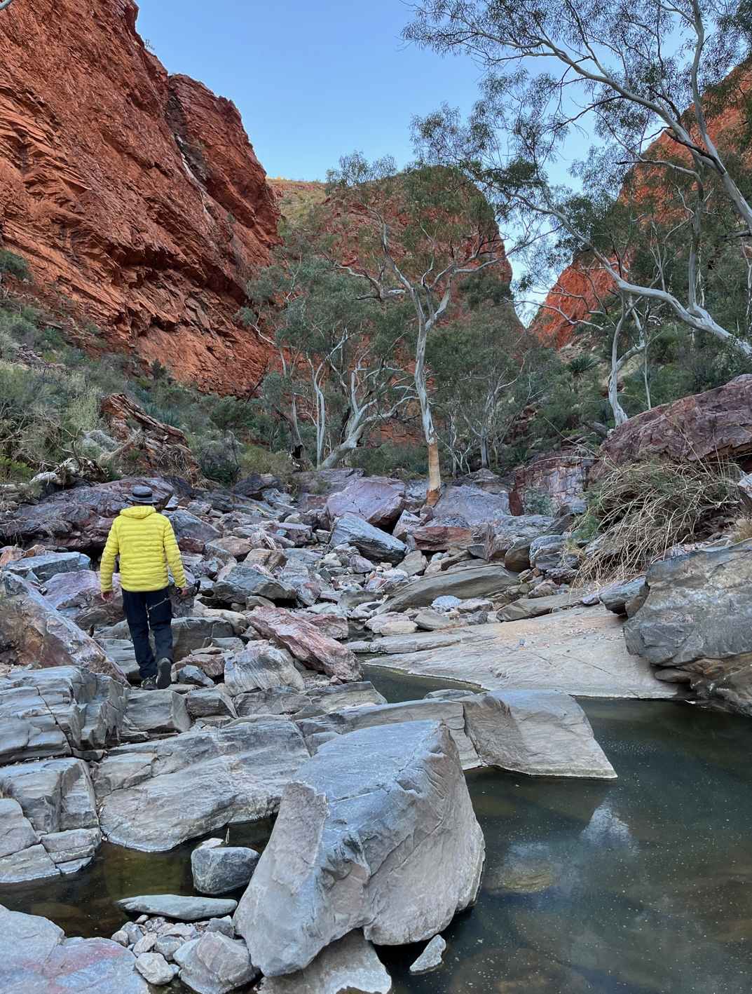
Fraser leading the way.
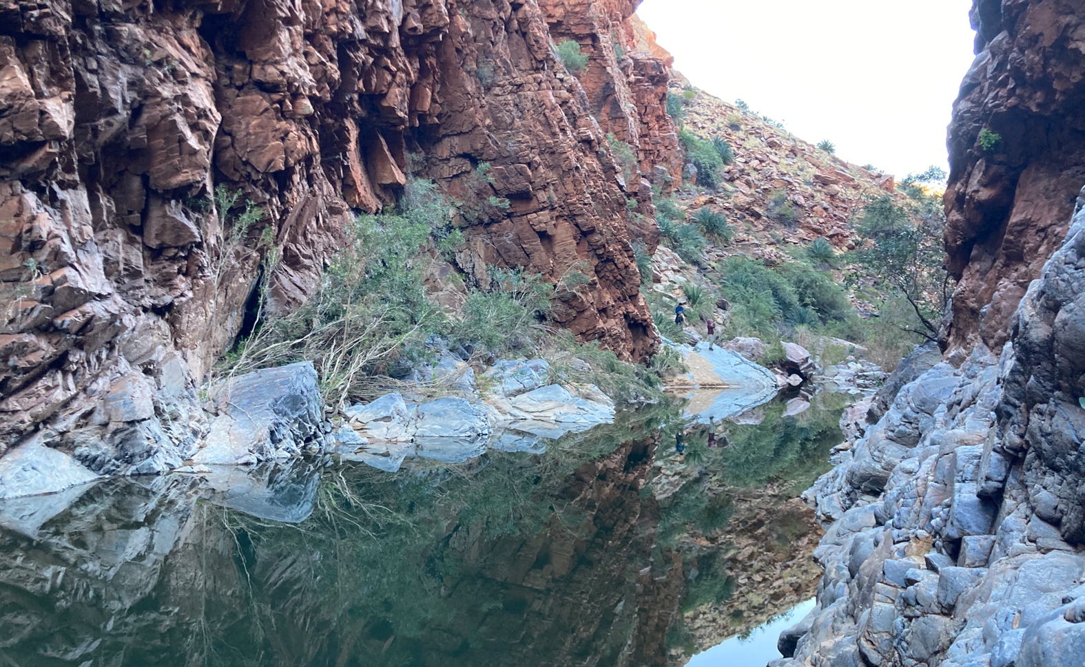
Waterhole at Hugh Gorge North.
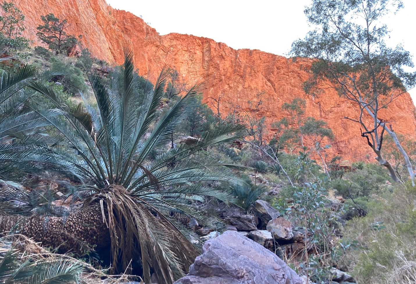
The ramparts above Hugh Gorge North.
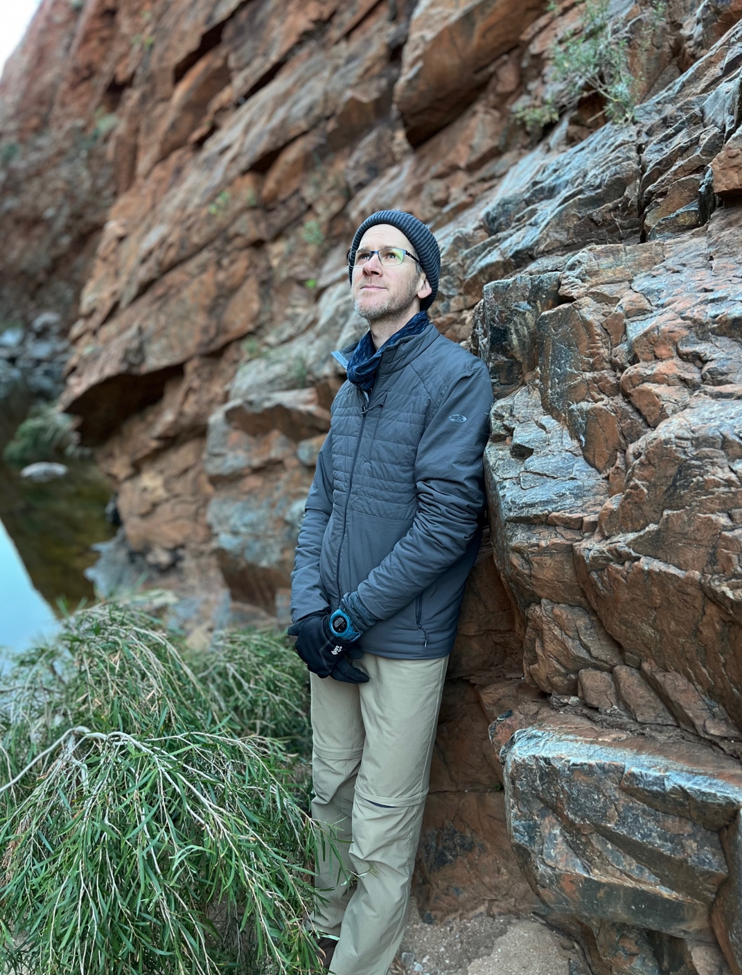
Gorgeous. The view that is, not Phil. 😉
Overnight I had been wakened by footsteps near camp. They sounded human so I pulled my head out of my bag to see who it was. In the dark I saw nothing, but there was the sudden sound of mad scrambling as a wallaby or a dingo dashed away along the creek bed. Now coming south along the boulder strewn creek bed I spied a single paw print. Perhaps the overnight visitor?
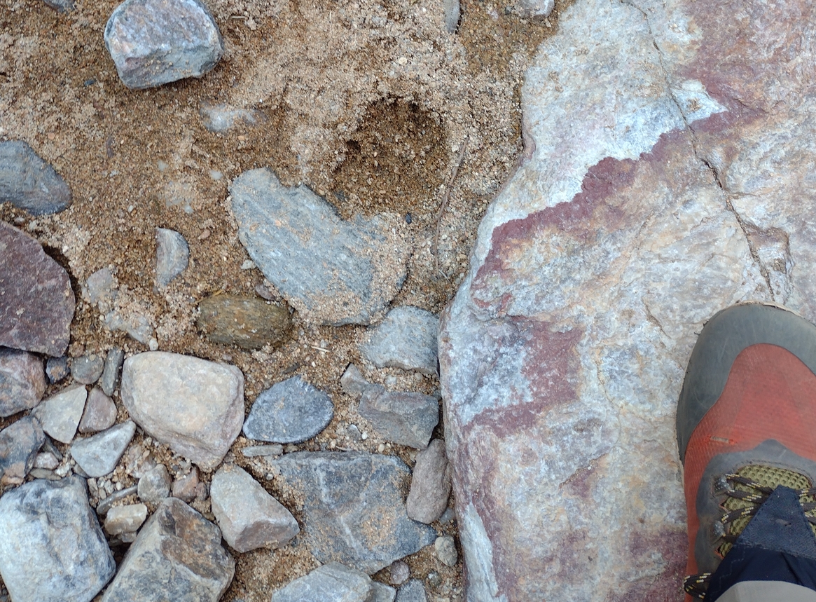
Dingo paw print.
By 8:30am we were all back at the camp site. Within 10 min we were on our way south.
Soon after entering Hugh Gorge we found our path blocked by wall-to-wall water. Some quick reconnoitering revealed a few options. The safest seemed to involve stripping off shoes and pants and shimmying down a 2m rock face into shallows along the west wall. Fraser looked longingly at the eastern wall, which he clearly could have bouldered across. In the end he decided to be a team player and help the rest of us navigate the western route. After successfully ferrying all our packs on to dry land and painstakingly removing any sand and gravel from our socks and shoes we continued south.
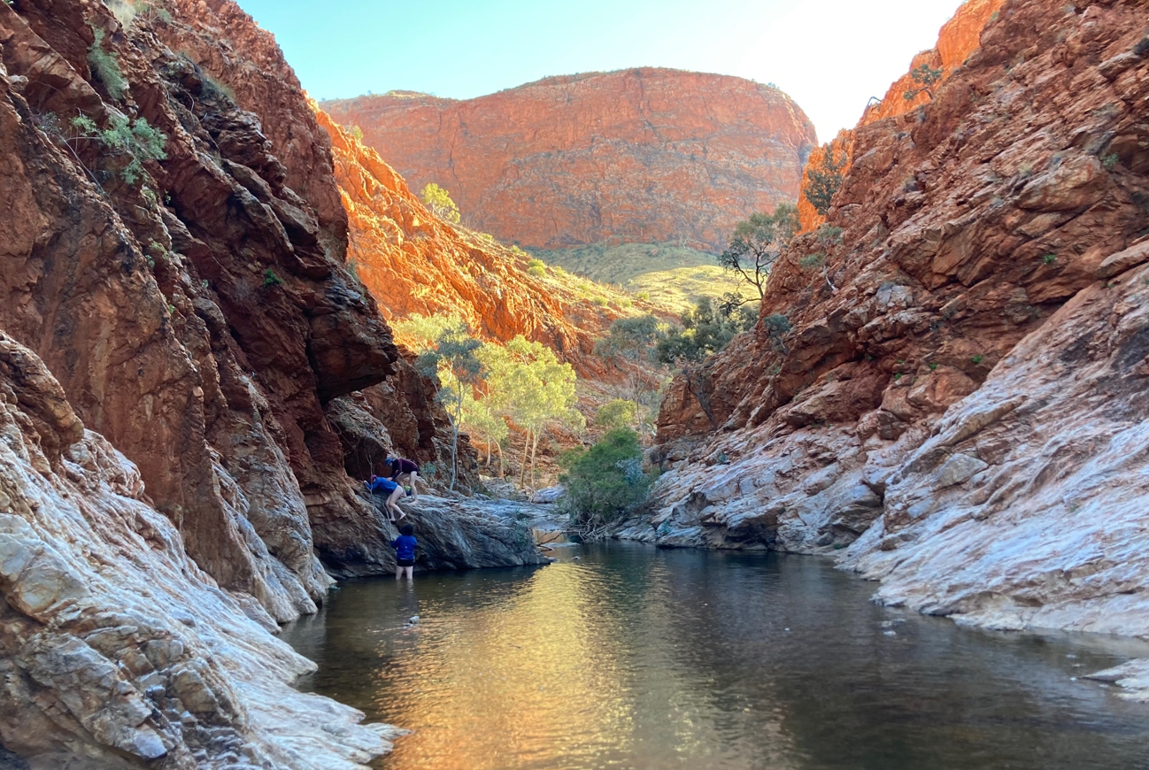
Navigating the water hazard.
My right leg was responding well to the TLC it was getting and I was slowly regaining confidence in it. I continued to lead with my left leg, using it and my pegs to lever my body up through any climbing steps.
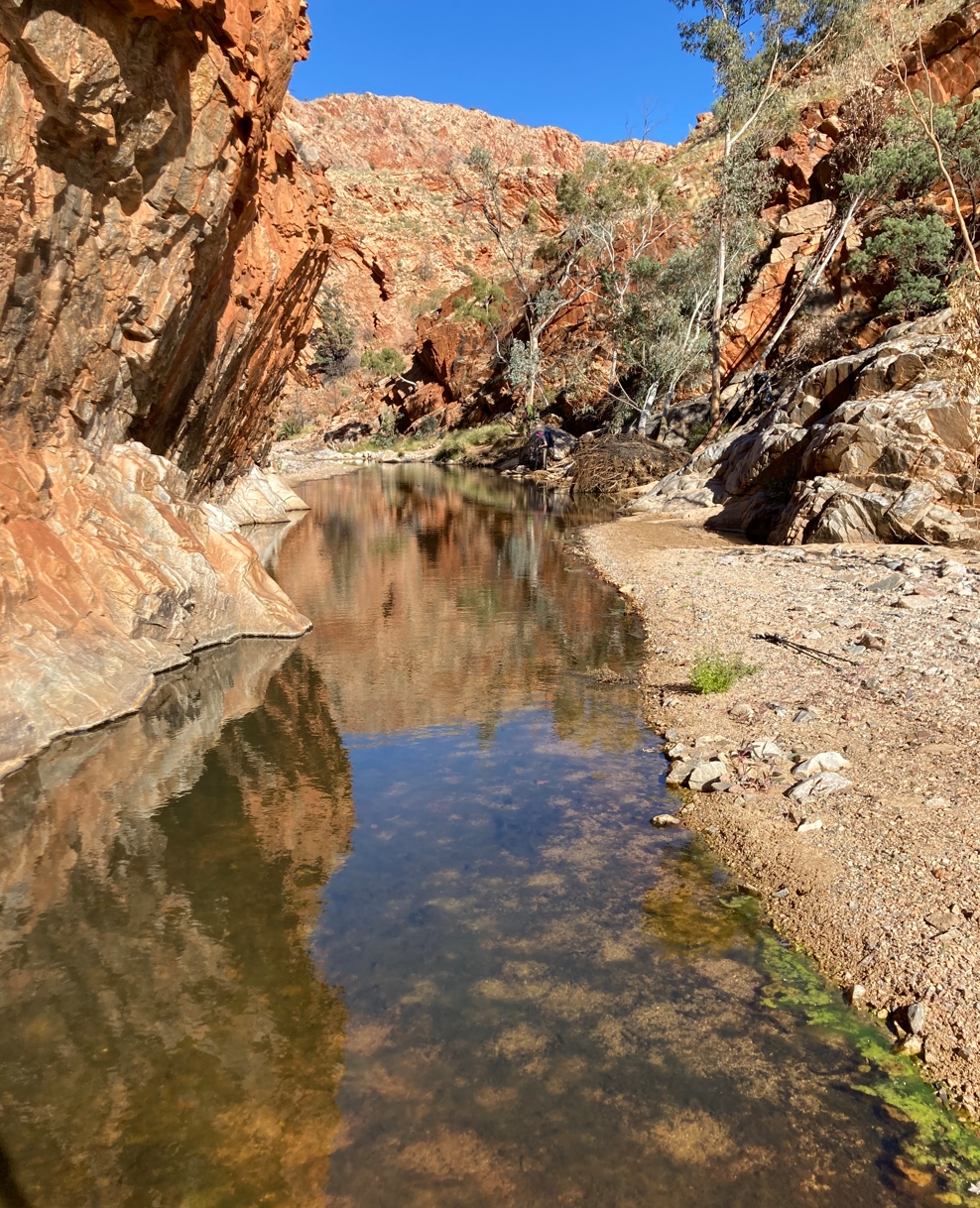
Hugh Gorge.
Hugh Gorge is, well, a gorge. As far as Larapinta Trail gorges go it is a long one. Roughly 3.5km by my calculations. The walls vary from sheer to gently sloped. Several other valleys and gorges merge in along its length. As with many of the gorges on the trail there is no defined path. The conditions underfoot vary from sandy, to gravelly, to rocky. Frequent zig zags are required as you pick your way along, sometimes requiring shallow water crossings. All in all it is not challenging, and certainly less difficult than our morning hike to Upper Hugh Gorge. Going downhill in a gorge also tends to be easier, particularly when boulder hopping. Each consecutive rock is slightly lower (on average), requiring less exertion.
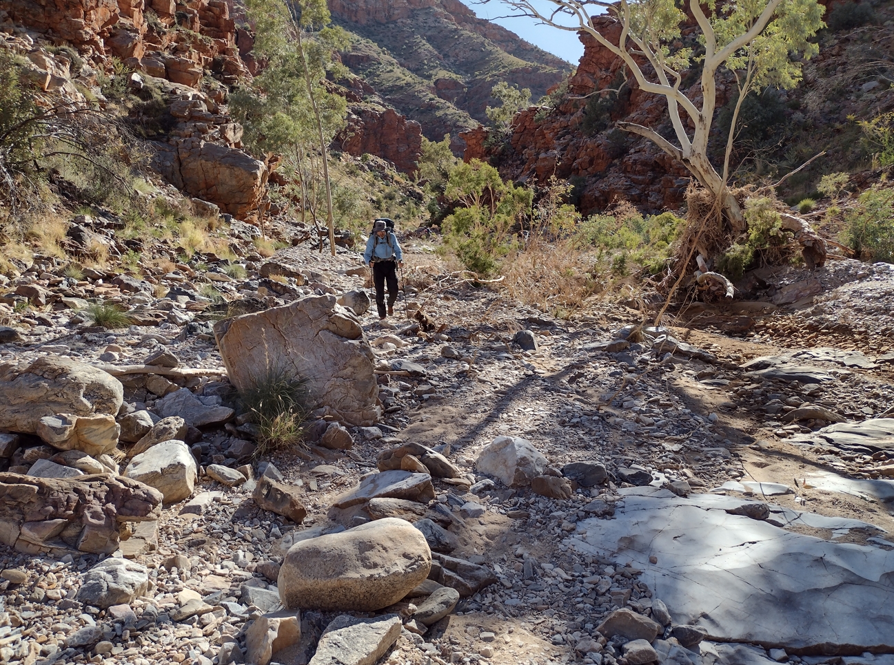
Hugh Gorge.
By 10:15 we had arrived at the Hugh Gorge Trailhead. It was a short 45 minute stop. Enough to replenish water for the day, scoff down some morning tea, use the toilet facilities, and have a quick yarn with some hikers arriving from the south.
It is worth noting that the period from about 4pm the previous day when we left Fringe Lilly to now was the longest period we had gone without seeing another hiker. Something like 18 hours of uninterrupted solitude. Normally you would see someone at least every few hours.
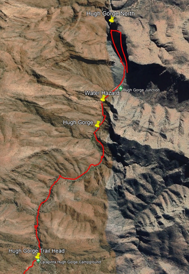
Hugh Junction to Hugh Gorge
We didn't know it at the time, but we had just broken the back of the Larapinta. The past 3 days were as hard as it was going to get. There was still oodles of pain to come, but no section would test us more than what we had just endured. Our trek from Simpson's Gap to Hugh Junction had probed the edge of my limits, physically and mentally. At this point on the trail I was probably a bit shell shocked, wondering what torturous delight would be served up next. In hindsight, however, we had passed the qualifying examinations. From now on we just had to execute.
By 11:00am we were back on the trail heading southwest towards Rocky Gully.
This part of the trail (Section 6: Hugh Gorge to Ellery Creek North) is 29km of inter-range walking that crosses you over from the Chewings Range to the Heavitree Range. Reference material on the Larapinta tends to give the impression that this section is flat and boring. To be fair, it is pretty boring, particularly when judged against some of the rugged terrain and spectacular views found elsewhere on the track. But it can only be judged 'flat' relative to the rest of the track. In truth it is quiet demanding, taking you over a never-ending series of non-trivial ridges and dry creek beds.
The main attraction of this section is that it is not sandy creek bed, rocky gully, hairpin switchback, or ridge spine hiking. It consists largely of a well trodden dirt path with relatively few rocky sections. While hot and long, it did not represent the same strenuous rock vaulting challenges we had encountered during the previous two days. It is just mindless plodding. It was also exactly what I needed to allow my strained calf muscle to rest and rejuvenate.
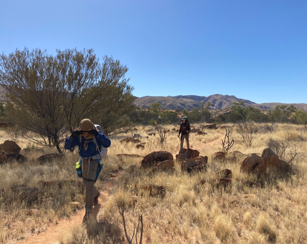
Marching south from Hugh Gorge. I had taken to soaking my shirt, hat, and shemagh whenever we had access to water. The moisture provided some relief from the heat as it quickly evaporated away.
At 12:10pm we reached a slightly elevated, but otherwise non-descript spot marked by a sign "Hugh View". Presumably this was a good place to look back at the Chewings Ranges from whence we had come. We duly stopped and took some photographs. Given the stupendous lookouts we had already visited this one seemed like a rather forced attempt to conjure up a distraction from a long boring walk.
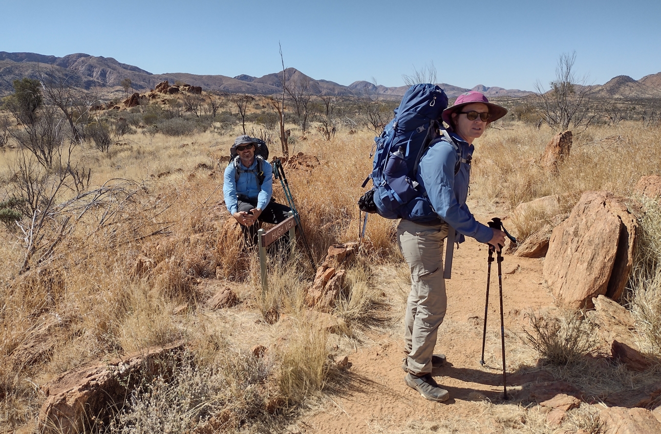
Elise and Fraser at Hugh View.
At about 12:45pm we staggered in to Ghost Gum Flat. Not much to recommend it. The tree for which the site is named is nice enough, and there is a raised camp platform. A few small scrubby bushes serve to create some shade. This place was the worst we encountered regarding evidence of hikers doing a pretty average job of disposing of their bodily waste. In retrospect, we probably should have gone on and found a lunch spot in the sandy creek bed a few hundred meters further south along the track.
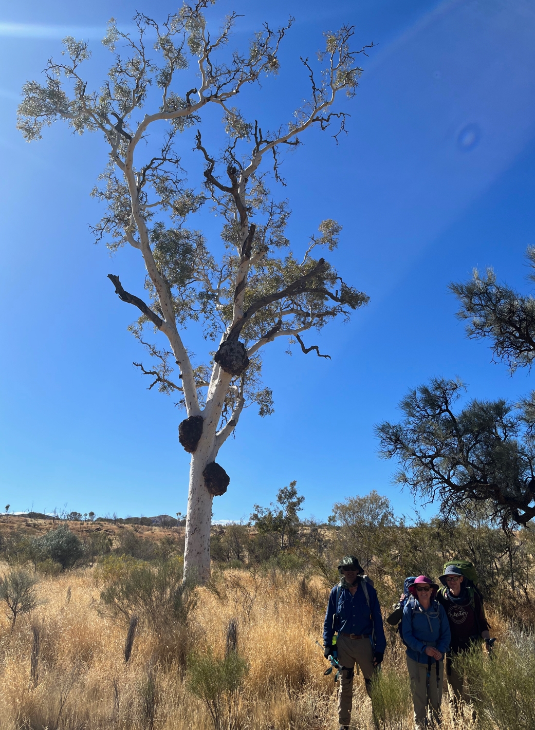
The burled ghost gum at Ghost Gum Flat.
This was the first point on the trail where I thought it worthwhile pulling on a fly net. Mainly because the thought of having a fly come from whatever the various surrounding scraps of toilet paper signified to land on my face during lunch was more than I could handle.
Shoes off. Chairs out. We were happy to collapse and wait out the afternoon heat before pushing on. Salmon wraps followed by peanut butter wraps and a cup of something hot. The only disturbance to our small talk and exhausted reverie was a tall young couple effortlessly striding through on their way north. A smile and quick hello and they were gone, leaving only the memory of attractively tanned athletic legs atop spinifex gators and below tight spandex shorts. All business. Looking around at our disheveled state, it felt like we were part-time reservists collapsed at an aid station while the crème de la crème of special forces trooped past to save the day.
Meh, we can't all be prime examples of the true potential of the human species.
Spinifex gators are something that seem quite prevalent on the trail. This despite many blogs deeming them unnecessary. We didn't have them, and did not suffer for it. There were a few instances where we got a jab or two from the prickly plant, but on the whole they were a non-issue. Pointless extra weight as far as I could tell. It would be different if you went rogue and decided to blaze your own trail to some off-track destination.
At 3:00pm we suited up once more and rejoined the trail. More mindless, exhausting plodding through the hot rolling barren brown terrain. Up ridge. Down ridge. Rinse. Repeat.
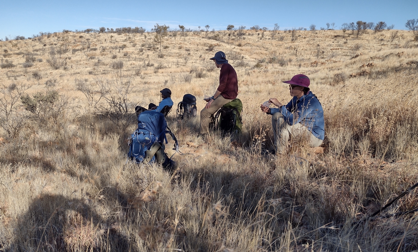
A short break for afternoon tea.
It took full two hours to reach the Rocky Gully campground. Phil had predicted an earlier arrival and (not for the first or last time) was a bit dirty with the accuracy of mileages in his guide book. We hadn't heard good things about Rocky Gully and were determined to push on to find a secluded spot for the night in a sandy creek bed somewhere further on. Actually the camp didn't seem too bad. Our primary concern was water and we filled up. Fraser took the opportunity to remove his shirt and scrub it out under the tank faucet as best he could.
By 5:30pm we were heading west from Rocky Gully in a race to find a campsite before darkness fell. Fraser still shirtless ("Sun's out, guns out!"). After about 2.5km of increasingly concerned hiking we finally found a pretty nice campsite in the bend of a sandy creek. The remaining light was just about right to get us settled in for the evening.
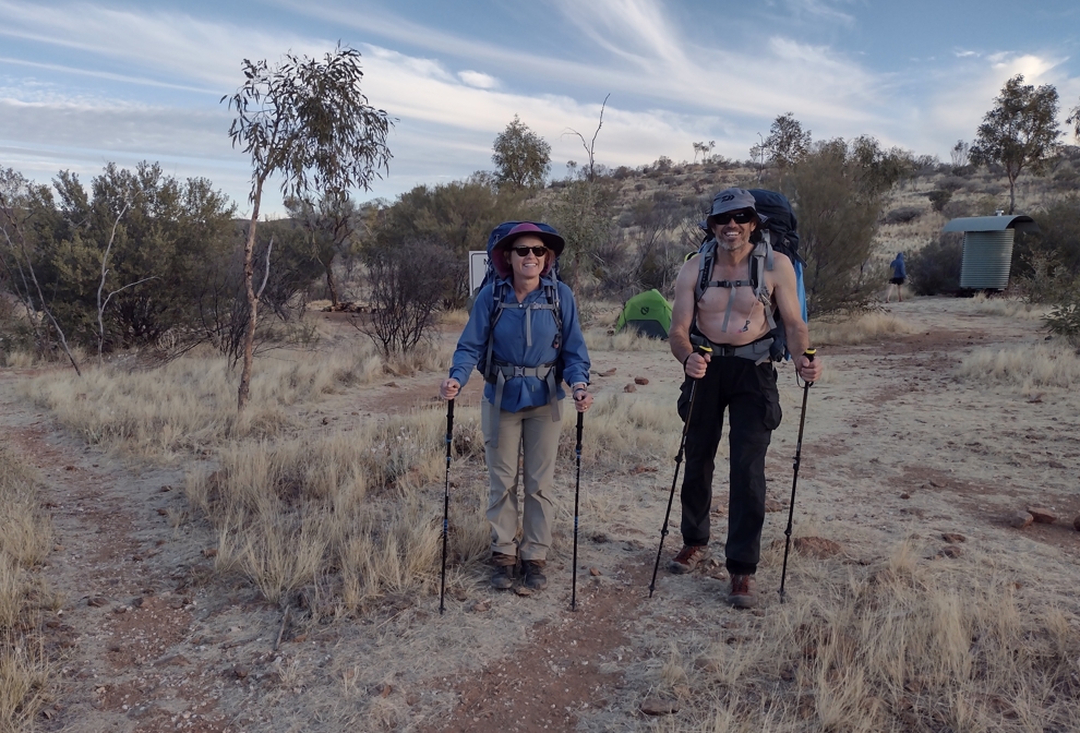
Elise and Frase at Rocky Gully as we prepare to head east looking for a camp site.
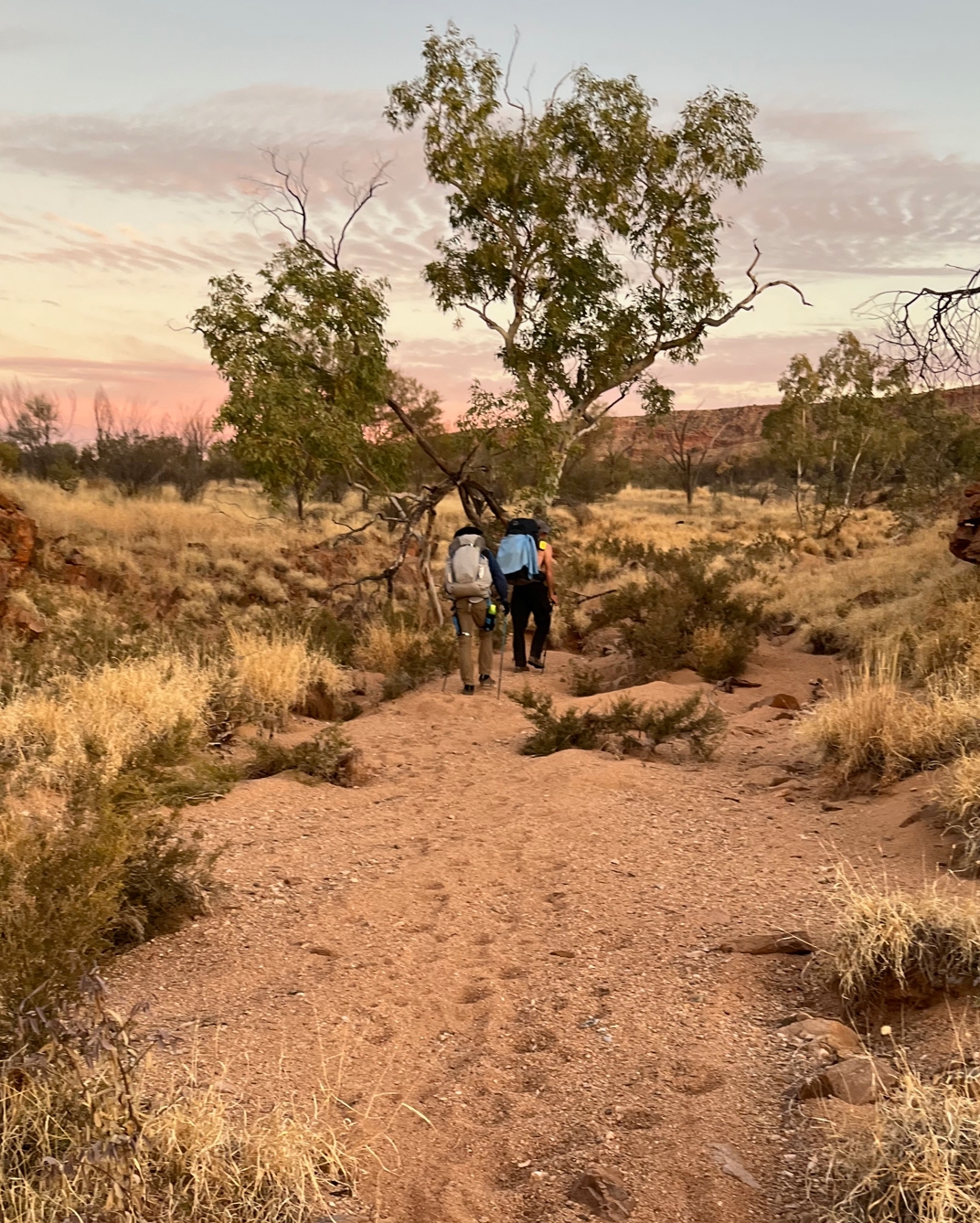
Our camp site for the night. Plenty good enough for us.
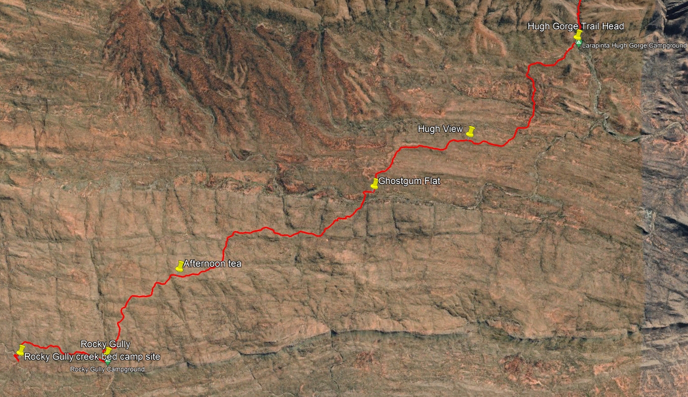
Hugh Gorge to Rocky Gully.
- Prologue
- Day 1: Alice Springs to Wallaby Gap
- Day 2: Wallaby Gap to Bond Gap
- Day 3: Bond Gap to Loretta's Lookout
- Day 4: Loretta's Lookout to Brinkley Bluff
- Day 5: Brinkley Bluff to Hugh Junction
- Day 6: Hugh Junction to Rocky Gully
- Day 7: Rocky Gully to Serpentine Gorge
- Day 8: Serpentine Gorge to Serpentine Chalet Dam
- Day 9: Serpentine Chalet Dam to Ormiston Gorge
- Day 10: Ormiston Gorge to Finke River
- Day 11: Finke River to Rocky Bar Gap
- Day 12: Rocky Bar Gap to Redbank Gorge
- Day 13: Mt Sonder, and back to Alice Springs
- Epilogue