Trekking the Larapinta - Day 4: Loretta's Lookout to Brinkley Bluff
Section 3: Jay Creek to Standley Chasm
Section 4: Standley Chasm to Birthday Waterhole
[Hike distance: 18.2km / 11.3mi]
2022-07-27
At 6am when my alarm finally went off I was only too glad to be up and moving. It was still blowing a gale and frigid, but further sleep was not going to happen. There was already a faint but promising dark red glow along the the eastern horizon. It increased in intensity over the next 30 min before the pre-dawn sky finally began to lighten properly.
Elise and Phil were moving around in their tent. Their head torches caused their tent to glow green and this contrasted nicely against the red pre-dawn horizon. I wandered over to Fraser's camp - "You 'wake Frase?". The lack of an answer from his still lifeless form led me to surmise that he'd got even less sleep than I. Ten minutes later camp activity woke him and he answered the inevitable query regarding his night with a nonchalant "Yeah, it was fine, no worries".
Prick.
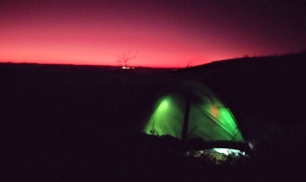
The green glow of Elise & Phil's tent against the pre-dawn eastern horizon
The vast expanse of surrounding country was still cloaked in darkness, but there were a few scattered pin-pricks of light, mostly distant. We conjectured about what they might be as we boiled water for coffee. Camp-sites, homesteads, or roadhouses. One light was brighter than the others and clearly not distant. About a kilometer away, it was flickering on the eastern edge of our ridge and approaching. Rapidly.
In a very short period of time the silhouette of a solitary hiker appeared on the ridge line above us. Our eyes got wide when we saw that the bloke was wearing short pants. It was way too cold to have any exposed skin. It turned out that this was one of the mythical creatures who traverse the trail in 7 days or less. He had spent the night in the relative warmth of Millers Flat having come from Hugh Gorge the day before. Getting up at 5am he had eschewed the easier low path to Tangentyere Junction and scrambled up the steep western route (Mesic Gully) to Loretta's Lookout so that he could catch the sunrise. Mad. He had completed 6 days of his hike and planned to finish the trail that day. That was if he could get accommodation in Alice. Otherwise he would stop at Wallaby Gap and amble into town tomorrow - just in time for his flight out. We dubbed him the "Road Runner" and he would feature often in our discussions about distances, times, gear, and logistics in the days to come.
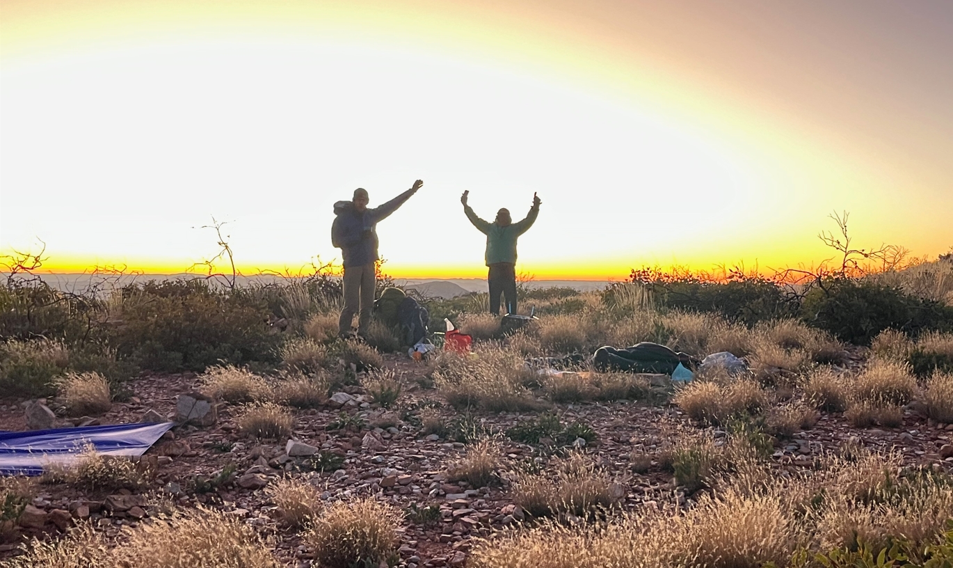
Sunrise.
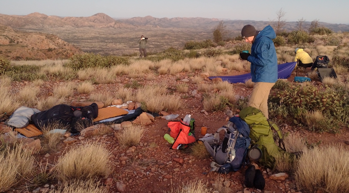
Phil enjoying a warming brew of coffee while Fraser packed, and Elise documented. My camp site at left.
It was 7:45am before we left our camp and began moving west. Most kept their thermals and puffers on. I stripped to regular walking apparel, reasoning that hiking would soon warm me. By 8:10am we had reached the start point for the descent. It took us a full hour to carefully pick our way down to Miller's Flat, grateful for the light and still marvelling at the Road Runner's pitch-black ascent a few hours before. Sure enough, now warmed up, the others soon had to stop and reconfigure their apparel in the lee of a large sheltering boulder. I kept going, feeling vindicated in my choice. In the days to come I always started hiking "cold". The others often preferred to keep their excess warm clothes on for the first 30min or so of hiking. Each to his own, I guess.
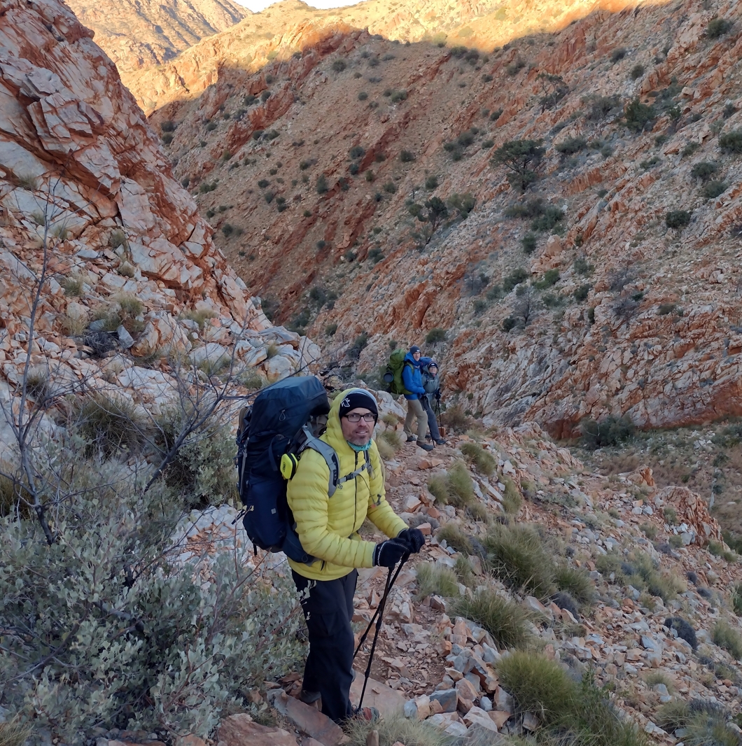
Over the edge into Mesic Gully.
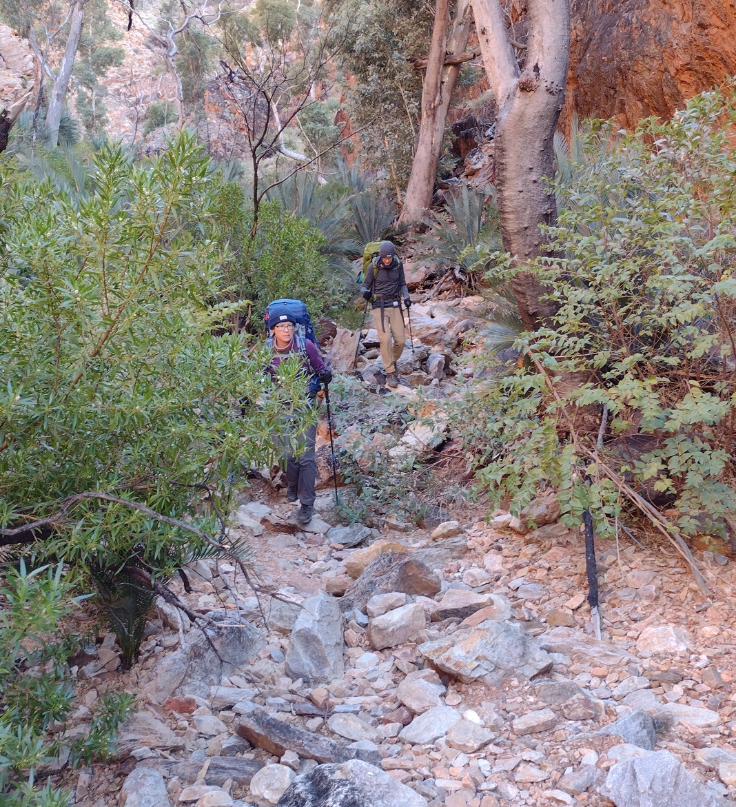
Elise and Phil descending through Mesic Gully after ditching the puffers and thermals.
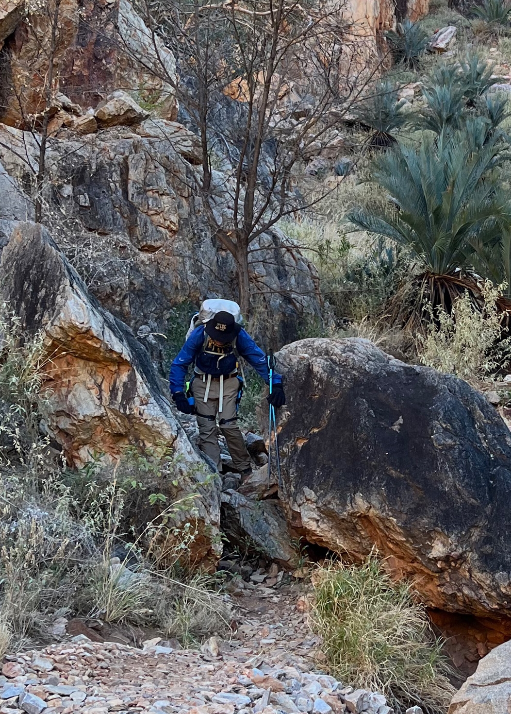
Steady as she goes.
For the next hour and a half we picked our way along a tortuous (and slightly torturous) set of hidden valleys that kept veering abruptly and unexpectedly into neighboring valleys. There was one humorous moment as Elise scaled a rock face and heaved herself over the top. Somehow she ended up stranded on her back atop her pack. Flailing about she looked like some sort of capsized mutant turtle. In our laughter we somehow missed capturing what would have been a classic video.
At 10:30am we arrived at the north end of Standley Chasm (Angkale Junction). Our expectation at this point was for a fairly leisurely downhill stroll though the 1.2km gorge to the facilities at the south end. This was not to be the case. Instead of following the gorge bottom, the track took us into the heights on the western side of the gorge. It was a punishing hour of alternating ascent and descent along the (admittedly well formed - lots of rock steps) trail before we finally managed to tumble out, exhausted and sweat covered, at the southern end.

Some of the many sets of steep steps at Standley.
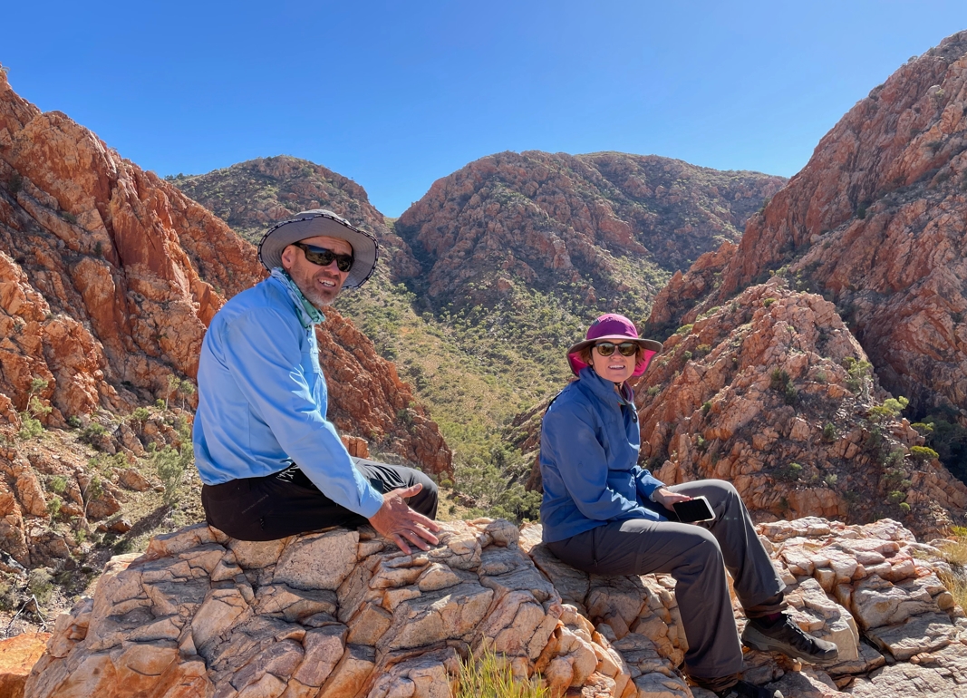
Catching a breather at one of the high points overlooking the Chasm.
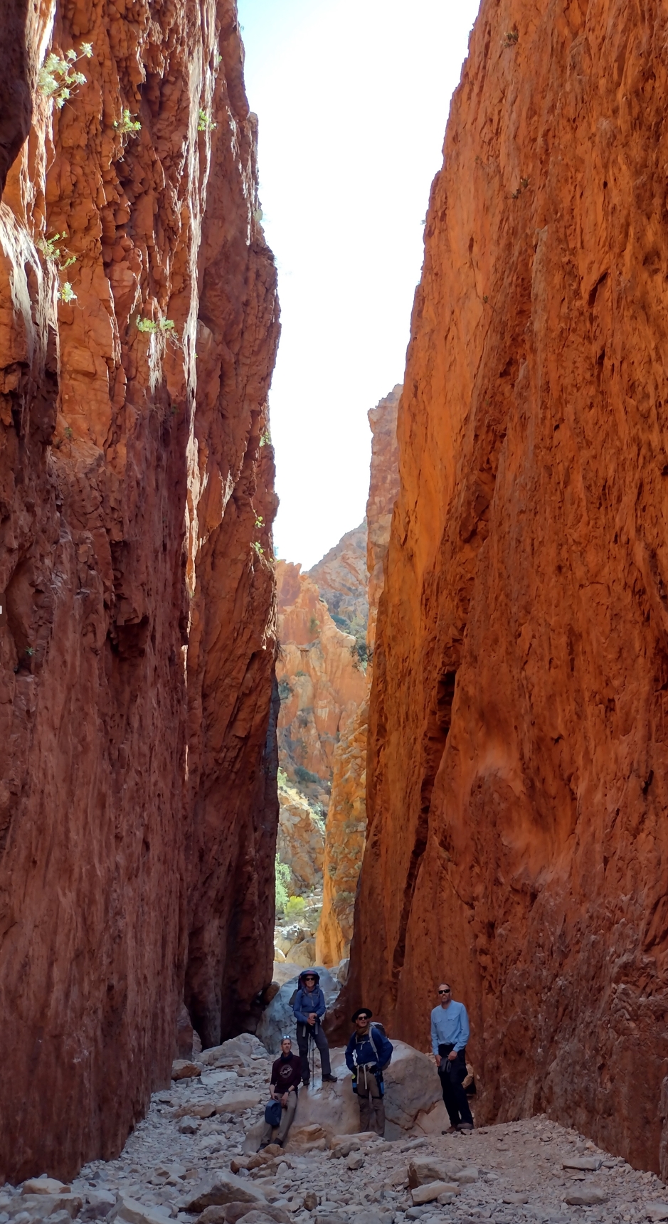
In the belly of the beast.
All reports of hiking the Larapinta seem to feature the cafe at Standley Chasm. We arrived there slightly after 11:30am, looking forward to a burger and a milkshake. Neither disappointed.
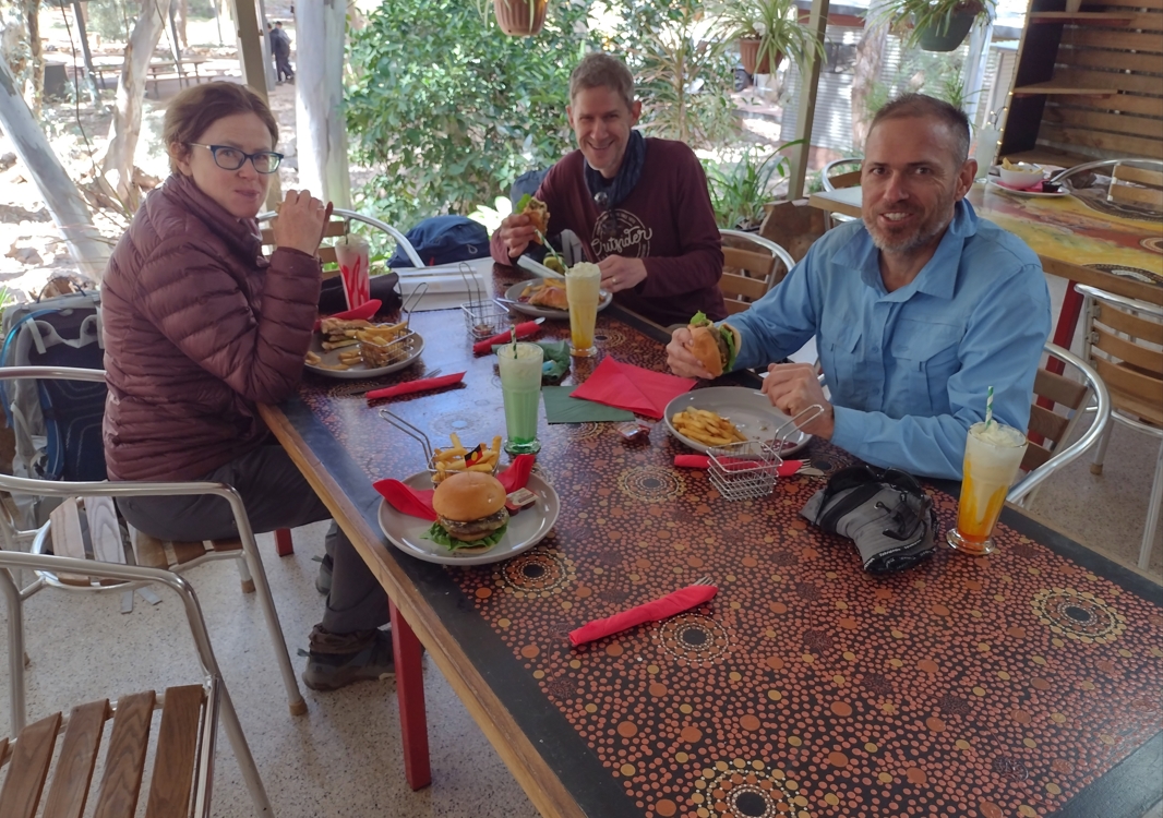
Yummy.
After lunch we went over to the trail facilities (toilet, shower, bin, sinks, drop box storage) and retrieved our first food dropbox. Frase, Phil, and Elise all seemed relieved to have showers to clean off some of the trail grim. I didn't bother. Fuck it, I'd only be getting filthy again within hours. Socks and some other garments got washed and hung out to dry as we sorted and distributed the rations for the next few days.
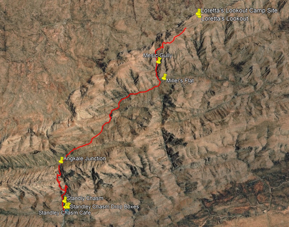
Loretta's Lookout to Standley Chasm.
I didn't regret the greasy, sugary lunch but I could have done without it sitting like a rock in my stomach all afternoon.
At 1:55pm we bid farewell to Standley and headed south along the paved access road for about 450m before the trail dog-legs abruptly to the right and enters an east-west rocky gully.
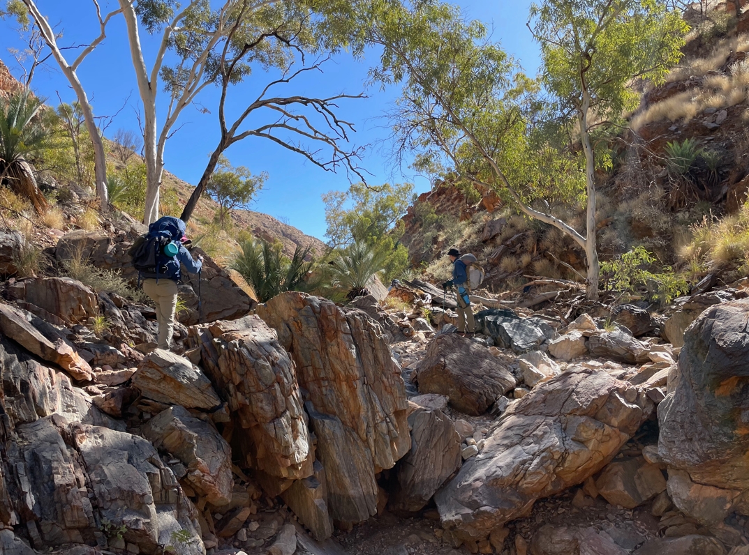
Heading west out of Standley.
By 3:15 we had covered approximately 5km along this long draw (~250m vertical ascent) and arrived at a saddle named Bridal Path Junction. The walking was made more difficult by the hot afternoon sun. We had begun to respect the hours between 1pm and 3pm. The heat coming from above was matched by the re-radiated heat of the earth and rocks. It's a brutal combination that saps energy and turns walking into a mindless slog of individually counted steps.
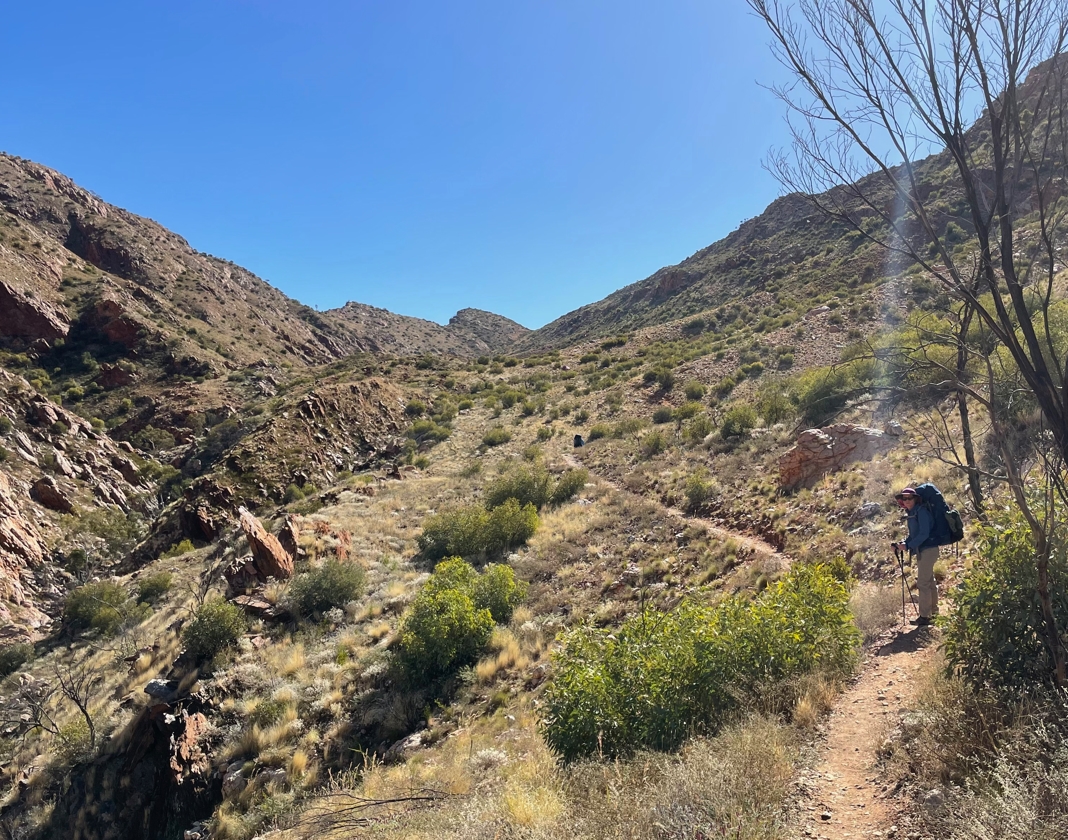
Elise enroute to Bridal Path Junction.
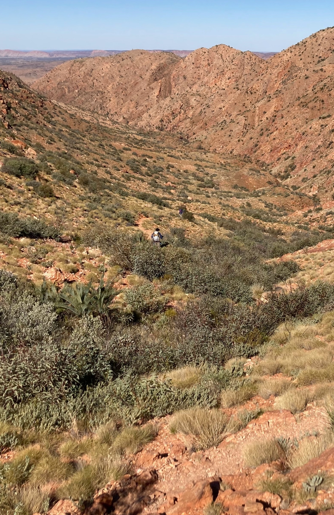
A photo by Fraser from Bridal Path Junction back towards the east. I am waiting for Elise and Phil to see if they wanted to take a breather at the 5km mark, or push on up to the Junction.
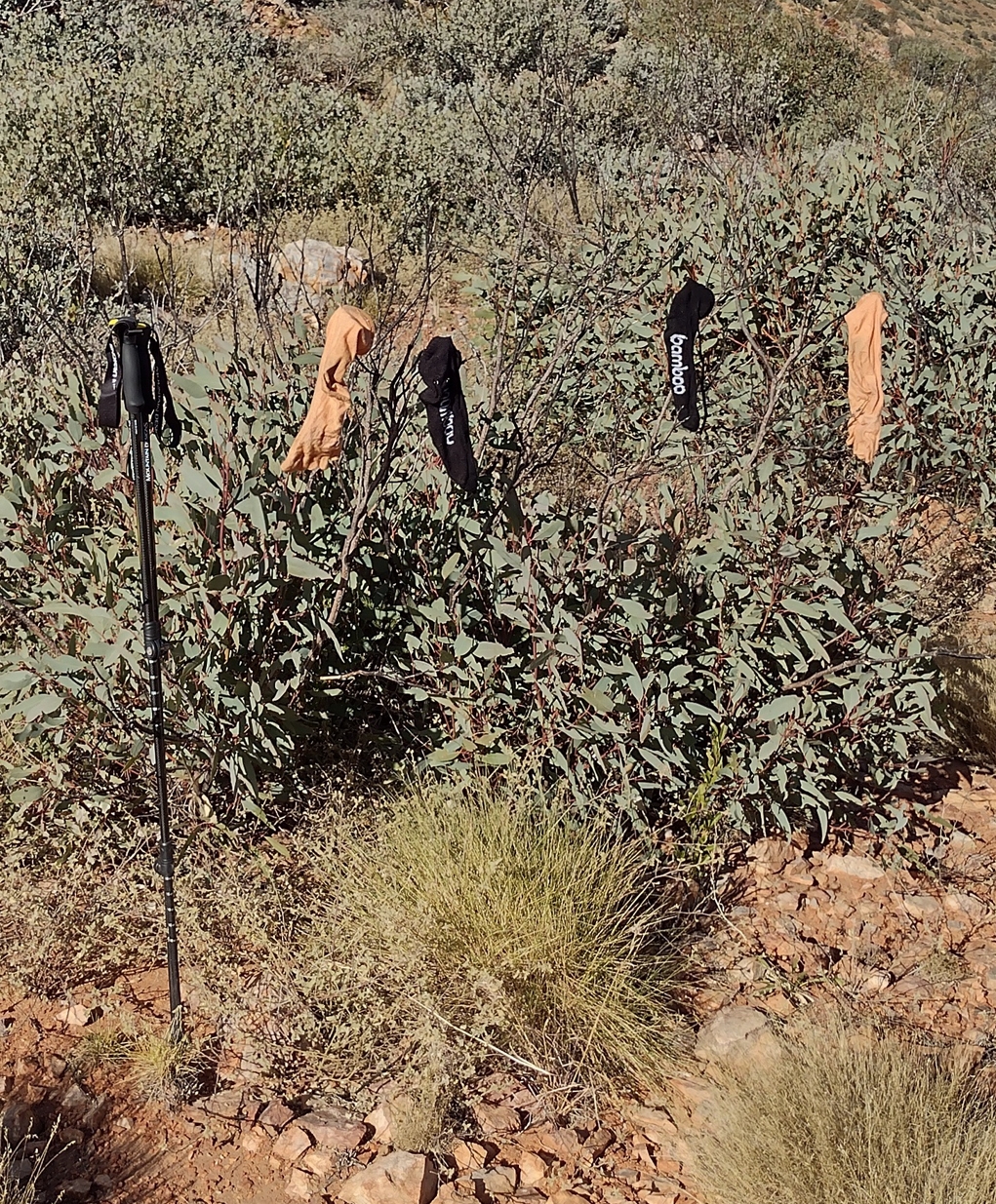
Socks off at Bridal Path Junction. Mum supplied me with the Injinji toesocks. They were excellent. The "bamboo" socks I picked up at the Queen Victoria Markets in Melbourne for $4. They were rubbish.
After a 15min breather, where we tended to some blister issues, we pushed on and within another 15min we had reached "Reveal Saddle" (3:40pm). Here we were rewarded with an uplifting view of our destination for the day: "Brinkley Bluff".
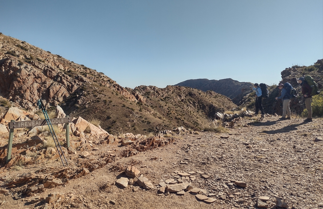
Reveal Saddle. Brinkley Bluff in the far distance.
The emotional boost was short lived however.
There are times on this trail when you get the distinct feeling that the route planners are just messing with you. Need to decide between two potential routes to a destination? Easy, let's just pick the steepest, rockiest, most painful path....
And so it was at Reveal Saddle. Surely now it was just an easy and scenic horizontal traversal of the ridgeline to Brinkley Bluff? Not likely. The trail dropped off the western edge of Reveal Saddle and we immediately lost 50m of precious altitude. I had become slightly separated from the rest. This spared them my 2 minute diatribe featuring every expletive learned during 7 formative years at Wilston State Primary School.
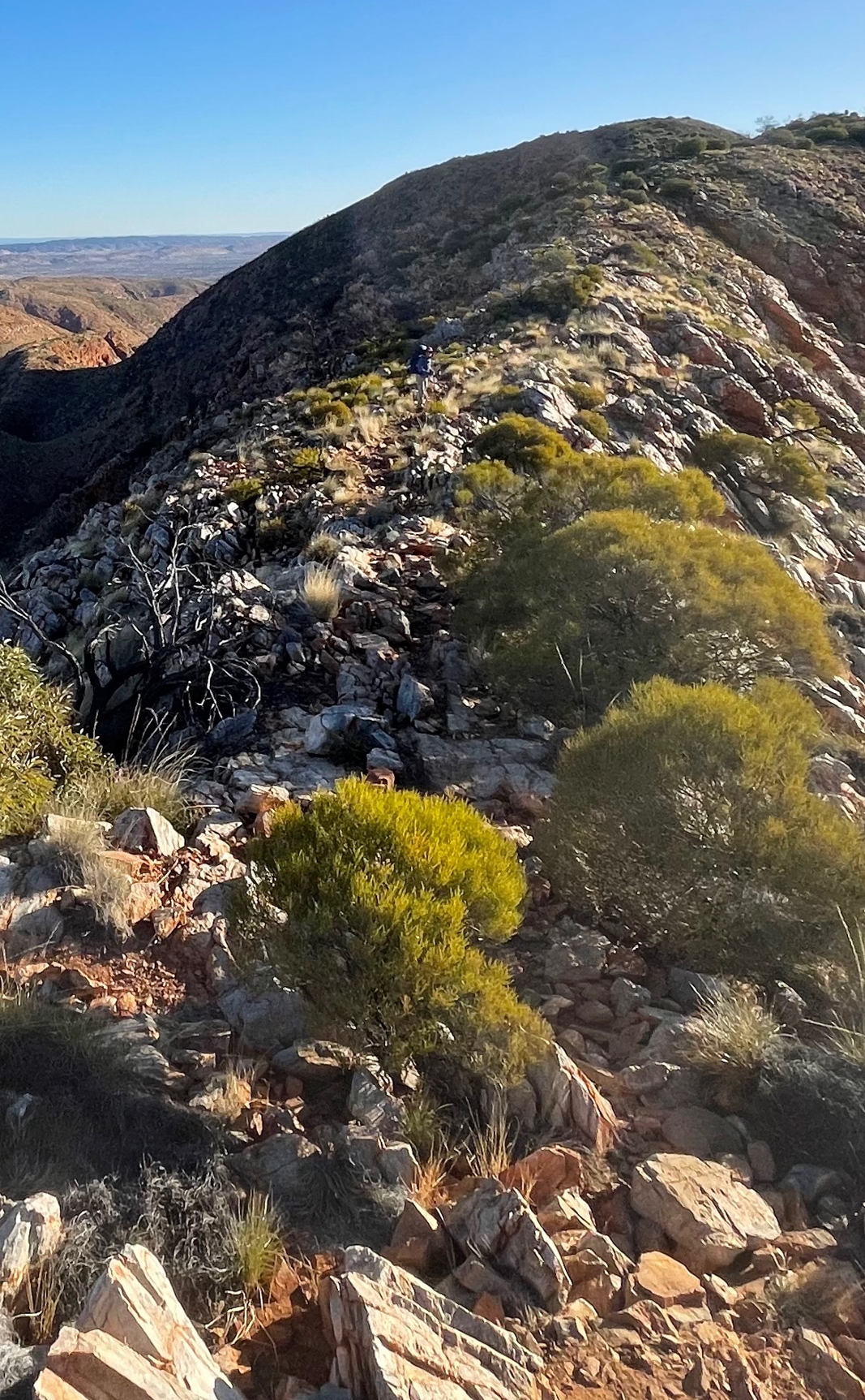
The rocky, exposed path to Brinkley.
It took another hour and a half to carefully negotiate the remaining 4.5km (200m ascent) of rocky ridgeline. In absolute terms we had ascended over 400m since lunch. Our packs were at their heaviest, with extra water for the dry camp site, and several days of food. Everything hurt. Fraser and I had pushed on and were a few hundred meters ahead of Elise and Phil when we arrived at Brinkley Bluff (5:10pm). We scouted up to the western end of the Bluff for camp sites, trying to find something a little sheltered. Unfortunately it seemed that the best sites were already taken. We settled for an exposed location back at the eastern end of the bluff, but with some small rock walls for wind protection.
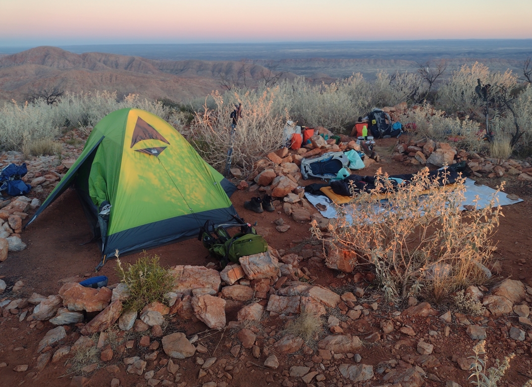
Our camp at Brinkley, nestled amongst the small rock walls.

The rock cairn at Brinkley is visible out to the right in this panoramic shot.
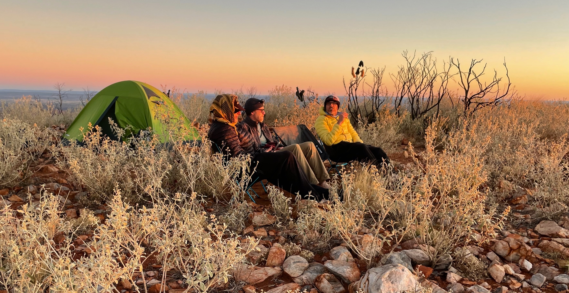
Waiting for the sunset.
The night at Loretta had been pretty brutal. Here we were just as exposed, if not more so. The temperature hovered somewhere around freezing. But having come through Loretta we were pretty comfortable with the situation. I made no attempt to use my tarp, although I readied it in case of rain. While it was windy, it was not at the same levels as 24hr previously. Hard against the earth, and in the lee of our little rock walls we zipped our bags tight and hunkered down. It had been a long, hard day of hiking in challenging conditions. The exhaustion was real. We settled in for another night of cold, fitfully-interrupted sleep.
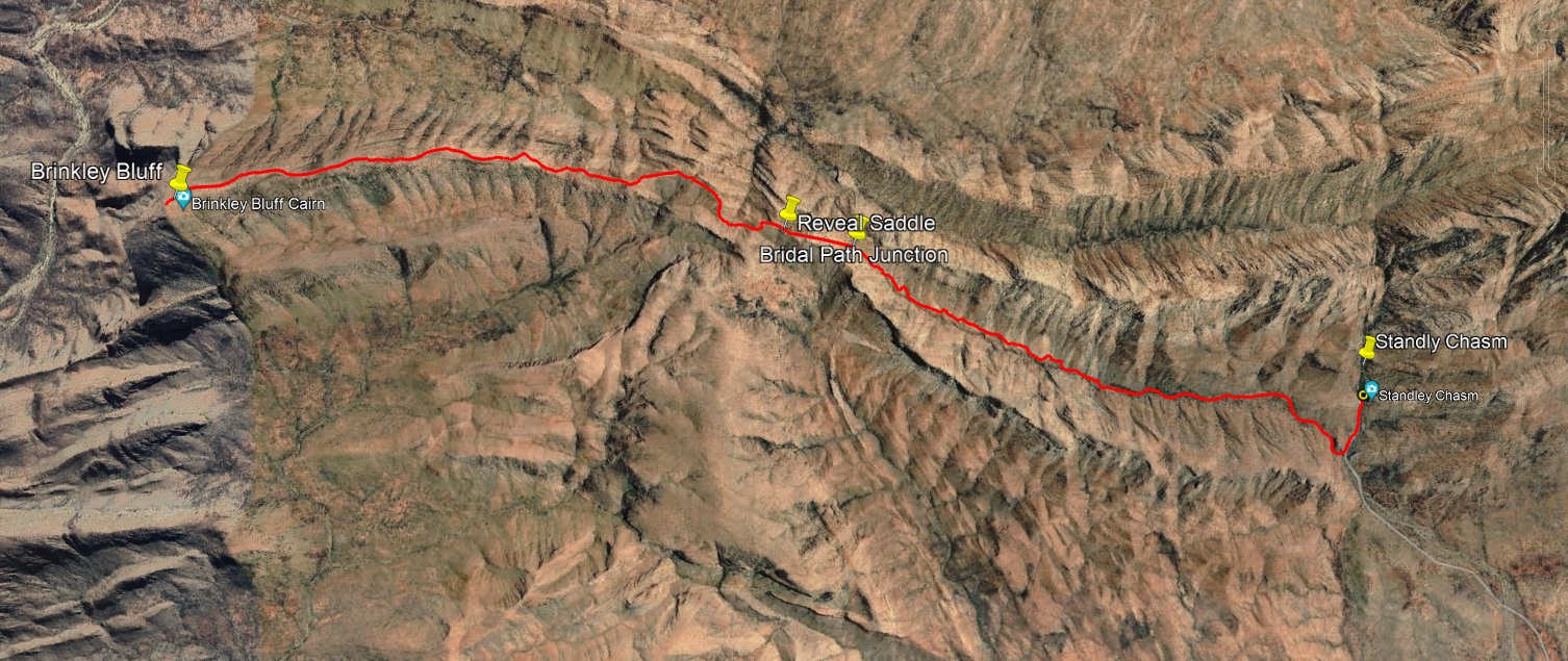
Standley to Brinkley.
- Prologue
- Day 1: Alice Springs to Wallaby Gap
- Day 2: Wallaby Gap to Bond Gap
- Day 3: Bond Gap to Loretta's Lookout
- Day 4: Loretta's Lookout to Brinkley Bluff
- Day 5: Brinkley Bluff to Hugh Junction
- Day 6: Hugh Junction to Rocky Gully
- Day 7: Rocky Gully to Serpentine Gorge
- Day 8: Serpentine Gorge to Serpentine Chalet Dam
- Day 9: Serpentine Chalet Dam to Ormiston Gorge
- Day 10: Ormiston Gorge to Finke River
- Day 11: Finke River to Rocky Bar Gap
- Day 12: Rocky Bar Gap to Redbank Gorge
- Day 13: Mt Sonder, and back to Alice Springs
- Epilogue