Trekking the Larapinta - Day 8: Serpentine Gorge to Serpentine Chalet Dam
Section 8: Serpentine Gorge to Serpentine Chalet Dam
[Hike distance: 17.4km / 10.8mi]
2022-07-31
We'd prepositioned a food box in the shipping container at Serpentine. This was a 'bounce box' - meaning we'd paid extra so that we could fill it back up with whatever gear we thought we could discard. Oddly, we didn't have much to ditch. We sealed up whatever rubbish we had accumulated and deposited it. I had a new set of clothes in the box that I didn't retrieve. I'd gotten used to being filthy, and there didn't seem much point in ruining two sets of gear.
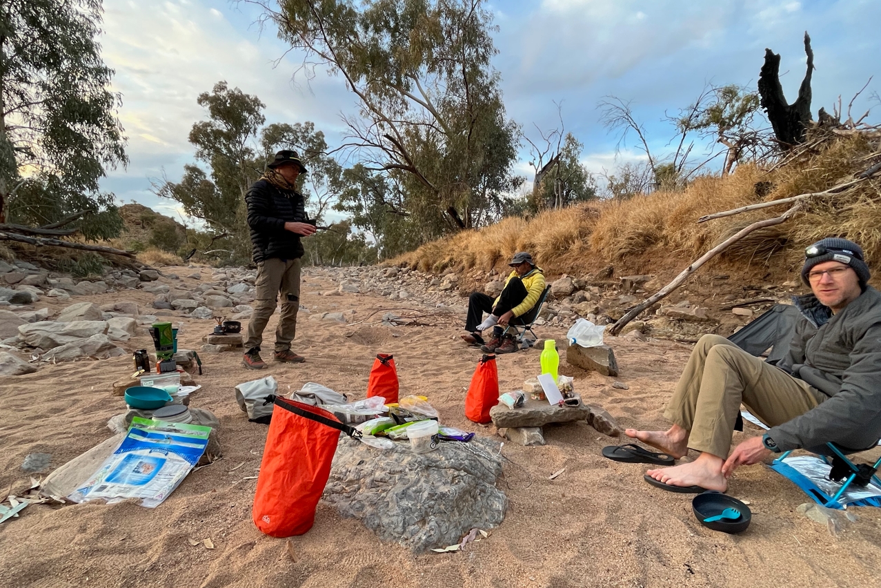
Early morning activity in camp.
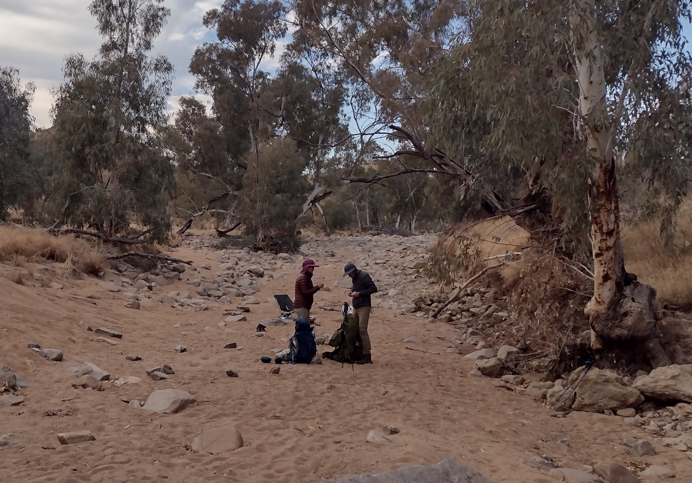
The remains of our camp site after tear down.
The Serpentine Gorge/Serpentine Chalet Dam section is not a long one. We were in no hurry and spent the first part of the day exploring Serpentine Gorge. It is a spectacular natural feature. With good road access it is also a popular site for day visitors. It was not long before day hikers and guided tour groups began to arrive.
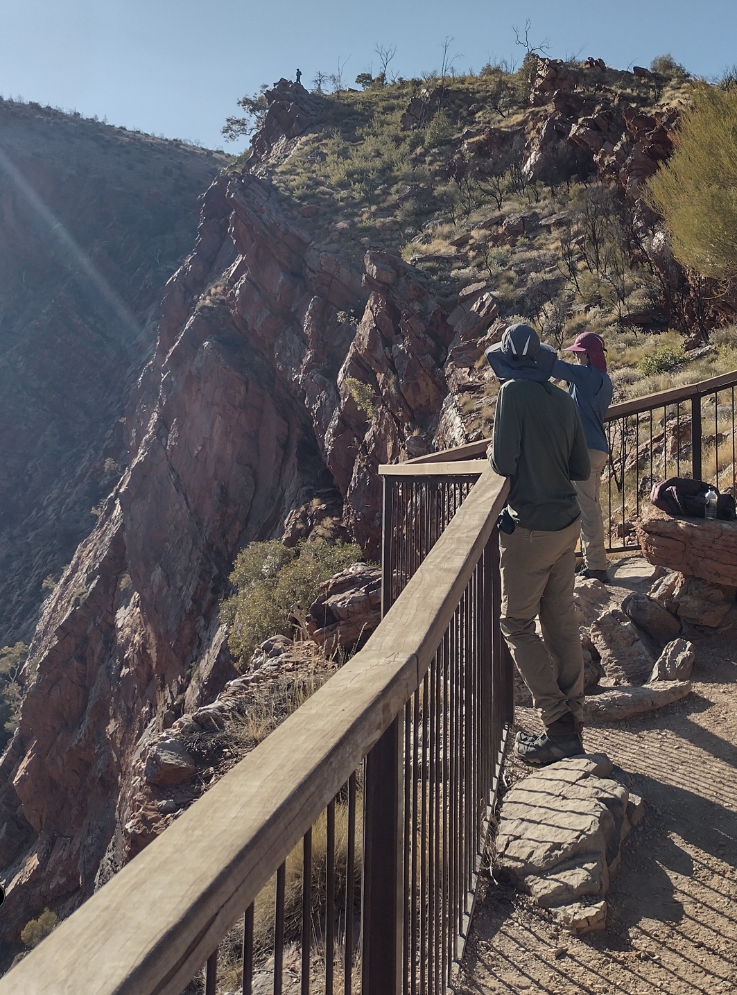
Elise and Phil at the Serpentine Gorge Lookout. Fraser is silhouetted atop a rocky outcrop on the horizon.
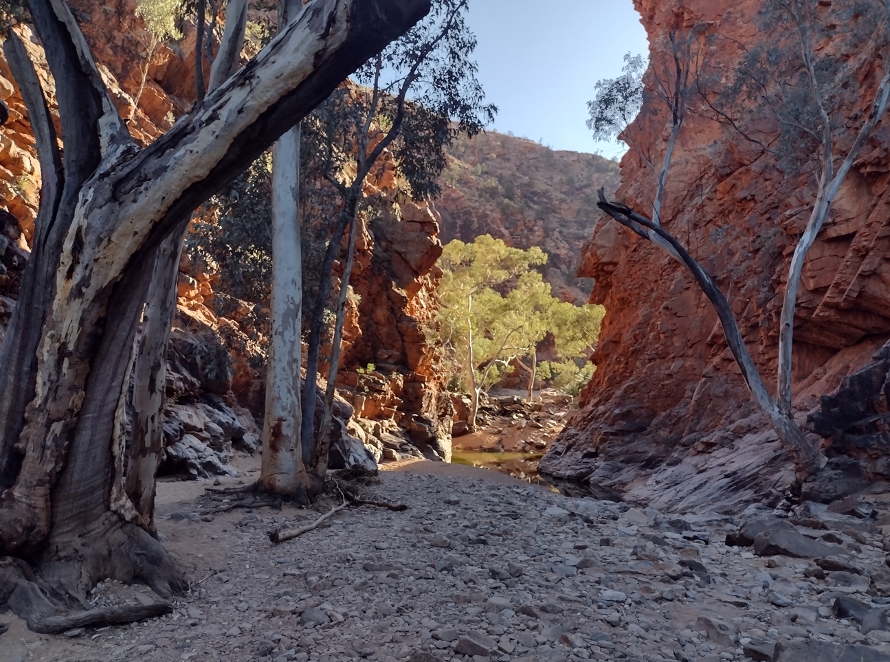
The mouth of Serpentine Gorge.
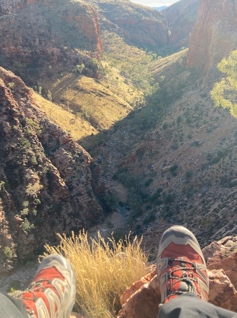
Photo of the Serpentine Gorge from Fraser's vantage point. The tantalizing gap in the far distance hints at interesting things further on. Like many parts of the trail, you are left wishing you had more time to explore...
By 10am we were ready to be back on the trail. As with all trail heads there was one last amenity that needed to be patronized before leaving.
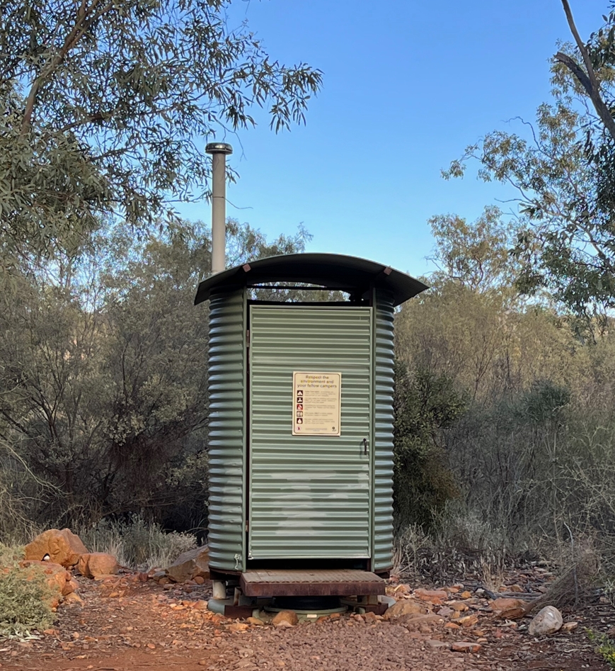
The dunny at the Serpentine Gorge trail shelter.
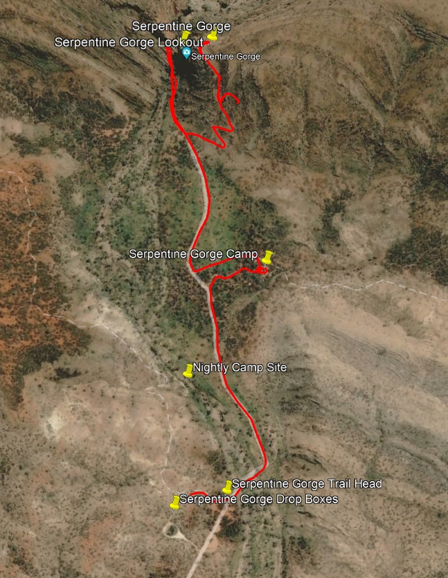
Travels at Serpentine Gorge.
Today's section was one I had been looking forward to. I had seen photos of the long pair of parallel ridges that dominate the section. I still don't know if these ridges and the valley between have a name. Phil's guidebook provided no answers. To me it is one of the most spectacular and awe inspiring features of the trail. For want of a better name I will call it here "Parallel Ridges".
To get to Parallel Ridges requires a 3.5km hike up through 370m of ascent. Loaded down with new food from our drop box it was never going to be an easy stroll. It took 1hr 15min. Although I led for much of the climb I flagged at the end and Fraser was waiting for me at the summit. We strung a tarp up for shade, rigged between walking poles and some random vegetation. When Elise and Phil arrived shortly after we decided the views and the breeze probably made it as good a spot for lunch as any other.
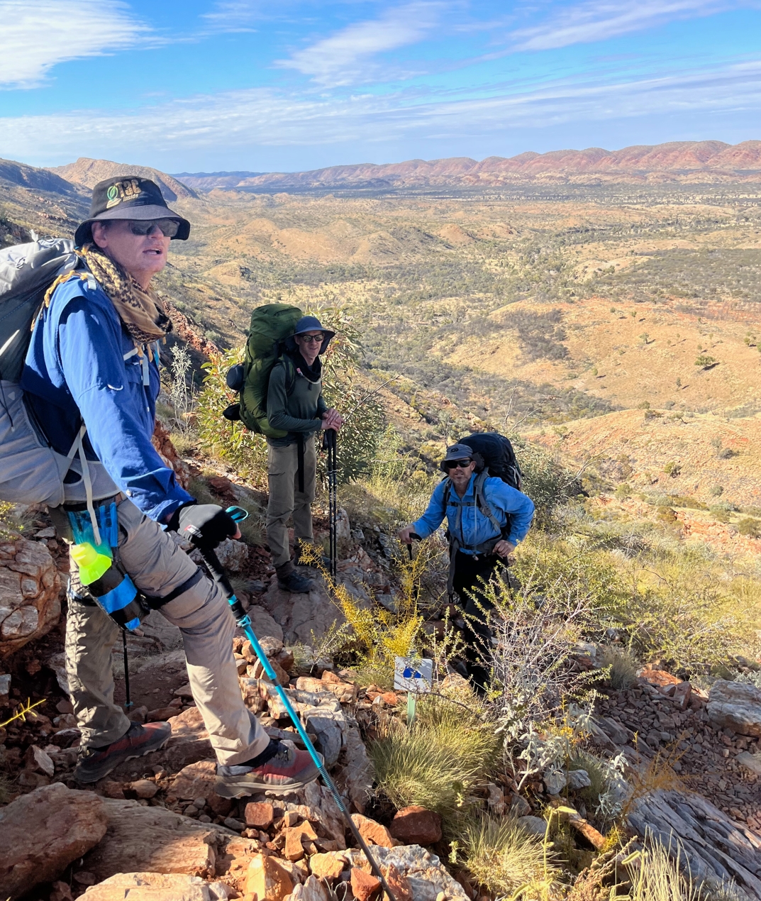
Taking a breather in some shade on the climb to Parallel Ridges.
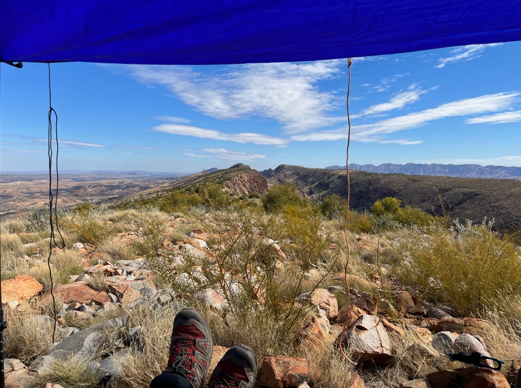
The view west from under the shading tarp.
On the ascent we had passed a group of three east-bound hikers wanting to know how far it was to Serpentine. One of them had sprained his ankle hiking the ridgeline and they were eager to get to camp. The affected chap seemed to be in some pain but was still gamely hobbling along. He seemed a bit annoyed at himself "With all the stuff we've been through, this is the place I roll my ankle!". The implication was that the ridge we were about to walk had actually fairly tame footing compared to what was to come. As we hiked this ridge later in the day I thought he was being a bit hard on himself. The path is strewn with, and sometimes composed solely of, football sized rocks. It's country where a slip in concentration could quite easily end in tears.
By 12:20pm we were moving again. The aim was to reach Counts Point and then hunker down to wait out the afternoon heat. For the next hour we trudged on, pausing frequently to admire the incredible scenery. A pair of kites gracefully surfed the updrafts whistling skyward from the valley below.
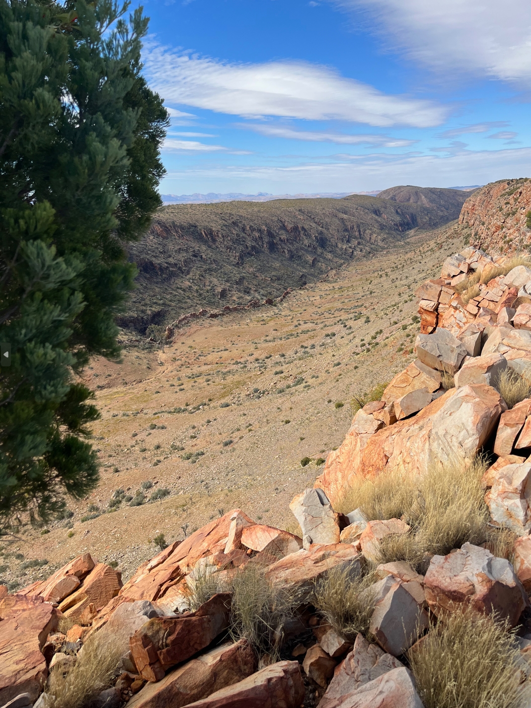
The magnificent valley between the parallel ridges. This shot from half way along looking back east.
At the Junction we passed a group of ~20 day hikers sacked out in the shade after returning from Counts Point. Their guides were preparing wraps and salad for their lunch. I chatted for a bit with an elderly lady who had removed her shoes to reveal what appeared to be very swollen feet. She didn't seem too concerned. I hope the view was worth it.
Arriving at Counts Point we rigged a tarp and settled into our chairs. It was a glorious 2 hour break. Nothing to do but munch on scroggan, drink tea, enjoy the solitude, and admire the view west. Undoubtedly one of the best of the entire trail.
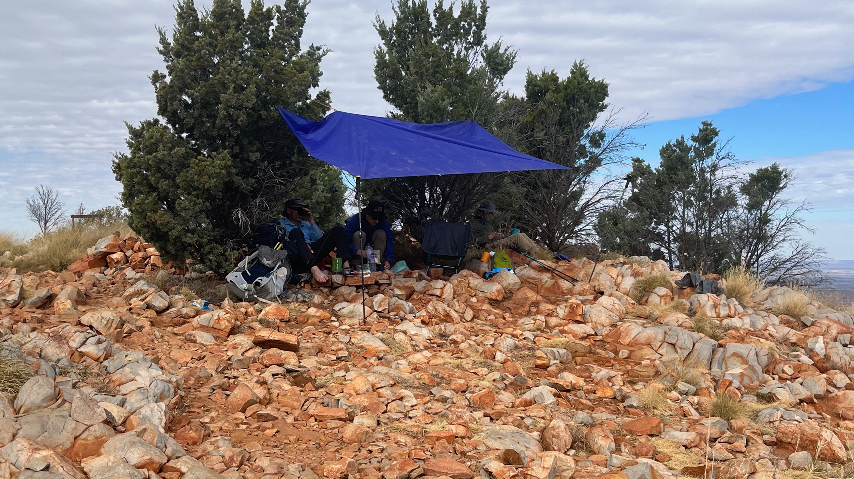
Gratefully ensconced under self manufactured shade at Counts Point.
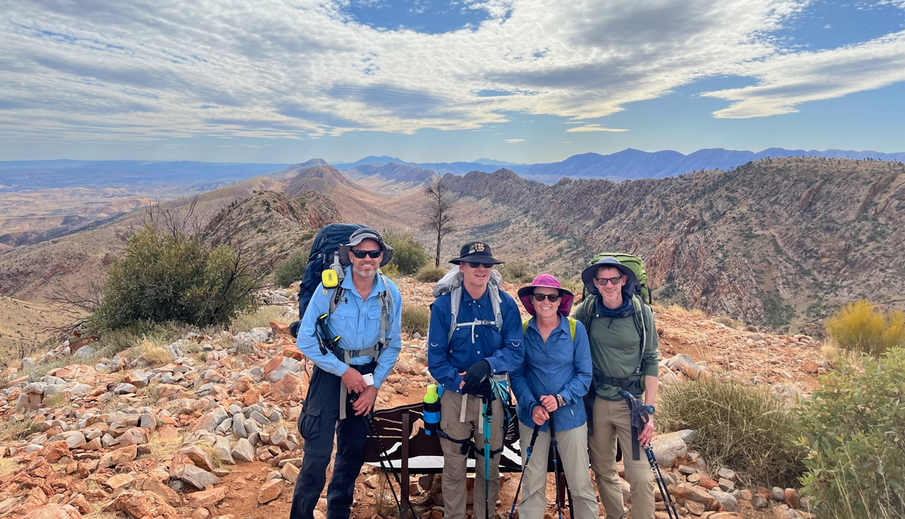
Yet another group selfie. This one at Counts Point as we prepare to leave.
At roughly 3:15pm we reluctantly arose. One final selfie facilitated by a lone hiker who had conveniently just arrived. Onwards.
Descending from Counts Point Junction I spied a hiker slowly plodding down the ridge in front of me. This was odd because they were heading the same way as us but we hadn't seen them up at Counts Point. They had clearly opted to skip the view point. I soon caught them up and said hello. As we chatted I mentioned not seeing her (it was a she) at the top.
"No, I just went high enough to get phone reception then I took care of my online world".
Ok. There you go.
"Was it a good view? Did I miss anything?"
"Yes of course you did, the view up there is fucking awesome. You skipped it because of some online bullshit? WTF were you thinking?" was not what I said. Instead I went with "Meh, it was OK, bit like all the rest...". After all, she wasn't going to trudge back up the hill at this point. We all have different reasons for being on the track. The fact that she was here at all already put her well above the average punter in my estimation. I wasn't about to question her choices.
She looked knackered.
"Where did you start today?"
"Ellery Creek".
Right. So she was doing two full sections in the one day. Bloody strong effort, even if she does miss a few viewpoints.
I left her slowly plodding. My legs, much rejuvenated after the rest at Counts Point, were eager to stride on.
Discussing her later in the afternoon we attached the moniker "The Plodder" to her. It was apt. Over the following few days we saw quite a bit of her. She wasn't fast, but she kept going. If this was a hare and tortoise race, she was the tortoise. Easy to catch, hard to stay up with. That evening we saw her wearily plod into the trail head about an hour after us, right on dark.
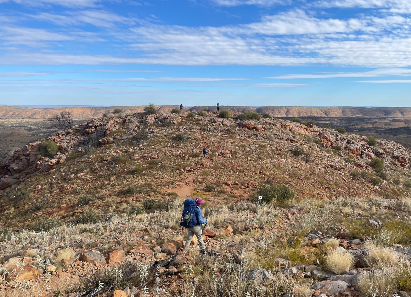
Descending from Counts Point. Elise in Foreground. Fraser and myself in the distance. The Plod mid way between us.
The trail down from Counts Point is not challenging. In some places the switch-backs seem more headache than they are worth. But it is definitely rocky, and I fought the urge to cut corners. You disrespect the Larapinta at your own risk.
Near the bottom of the descent we found ourselves walking due east. More trail designer shenanigans. About 750m and a few choice adjectives later we reached the valley floor and turned once again to the west (4:15pm).
Now we again skirted along the southern toe slopes of the Heavitree Range. Low scrub. Rolling terrain. Not unpleasant, but not particularly memorable.
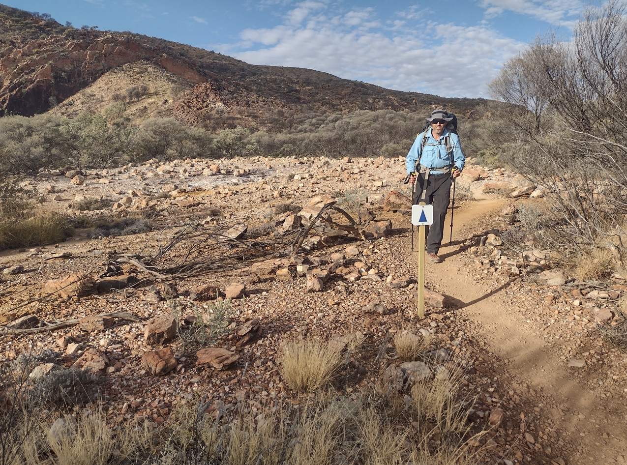
Fraser trudging through one of the curious yellow scalded clearings along this section of trail.
When we did arrive at the trail head (5:05pm) we were dismayed to see how many people were there. It was packed. The numbers were inflated by a large group of teenagers from a Melbourne school who were doing a few trail sections as a holiday activity. Half their luck.
We found tent sites but really weren't excited about it. After asking around amongst a few of the eastbound hikers we decided that there probably weren't any reasonable camping sites to the west that we could reach before dark. Fraser spent a bit of time scouting south along the creek bed that splits the camp before ultimately deciding that he would stick with us in camp.
Upstream 100m is the derelict concrete structure for which the trail head is named. I visited it just to check it off the list. There is little other reason.
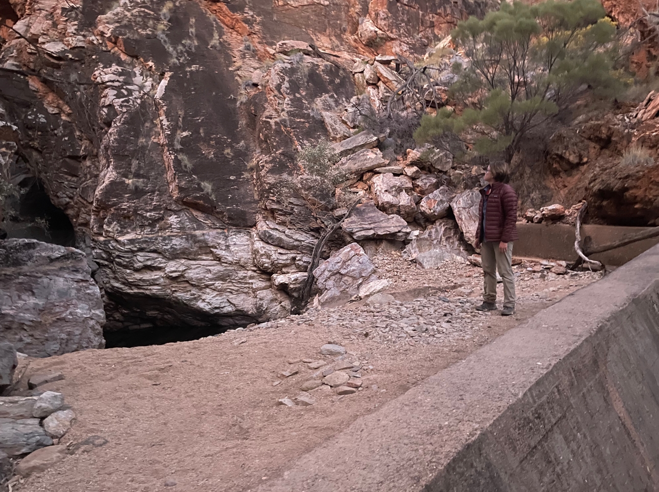
Elise inspecting the concrete structure upstream from the trail head.
This was only our second night camped in close proximity to others. And it was fine. Most of the camp was asleep by 7-8pm.
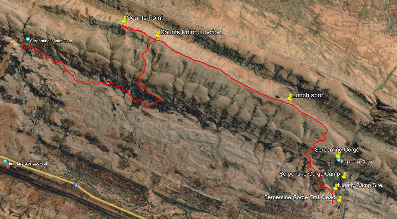
Trail from Serpentine to Serpentine Chalet Dam.
- Prologue
- Day 1: Alice Springs to Wallaby Gap
- Day 2: Wallaby Gap to Bond Gap
- Day 3: Bond Gap to Loretta's Lookout
- Day 4: Loretta's Lookout to Brinkley Bluff
- Day 5: Brinkley Bluff to Hugh Junction
- Day 6: Hugh Junction to Rocky Gully
- Day 7: Rocky Gully to Serpentine Gorge
- Day 8: Serpentine Gorge to Serpentine Chalet Dam
- Day 9: Serpentine Chalet Dam to Ormiston Gorge
- Day 10: Ormiston Gorge to Finke River
- Day 11: Finke River to Rocky Bar Gap
- Day 12: Rocky Bar Gap to Redbank Gorge
- Day 13: Mt Sonder, and back to Alice Springs
- Epilogue